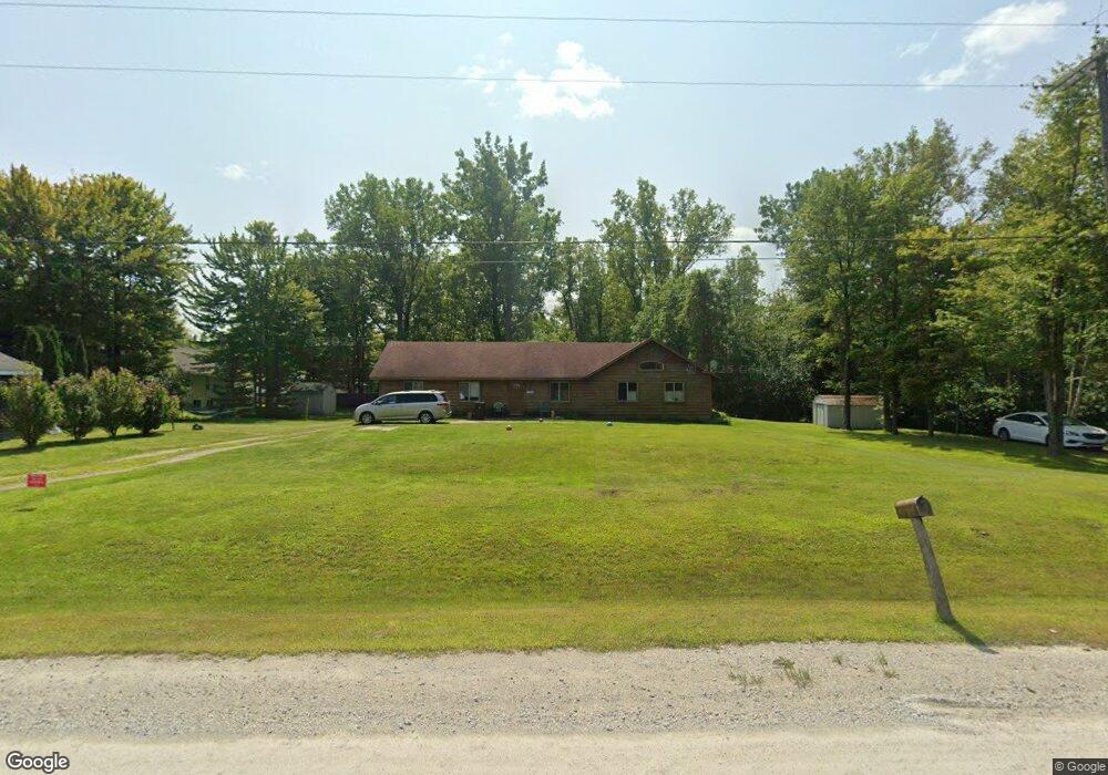
5023 Howard Rd Kimball, MI 48074
Estimated Value: $183,000 - $226,459
2
Beds
2
Baths
1,584
Sq Ft
$130/Sq Ft
Est. Value
About This Home
This home is located at 5023 Howard Rd, Kimball, MI 48074 and is currently estimated at $206,115, approximately $130 per square foot. 5023 Howard Rd is a home located in St. Clair County with nearby schools including Kimball Elementary School, Central Middle School, and Port Huron High School.
Ownership History
Date
Name
Owned For
Owner Type
Purchase Details
Closed on
May 19, 2009
Sold by
Federal National Mortgage Association
Bought by
Kolinski Yvonne A
Current Estimated Value
Purchase Details
Closed on
Apr 18, 2008
Sold by
Citimortgage Inc
Bought by
Federal National Mortgage Association
Purchase Details
Closed on
Apr 17, 2008
Sold by
Marsh David W and Marsh Sandra
Bought by
Citimortgage Inc
Create a Home Valuation Report for This Property
The Home Valuation Report is an in-depth analysis detailing your home's value as well as a comparison with similar homes in the area
Home Values in the Area
Average Home Value in this Area
Purchase History
| Date | Buyer | Sale Price | Title Company |
|---|---|---|---|
| Kolinski Yvonne A | $71,500 | Warranty Title Agency Llc | |
| Federal National Mortgage Association | -- | None Available | |
| Citimortgage Inc | $128,348 | None Available |
Source: Public Records
Tax History Compared to Growth
Tax History
| Year | Tax Paid | Tax Assessment Tax Assessment Total Assessment is a certain percentage of the fair market value that is determined by local assessors to be the total taxable value of land and additions on the property. | Land | Improvement |
|---|---|---|---|---|
| 2025 | $1,778 | $83,200 | $0 | $0 |
| 2024 | $967 | $78,900 | $0 | $0 |
| 2023 | $886 | $74,700 | $0 | $0 |
| 2022 | $1,601 | $68,500 | $0 | $0 |
| 2021 | $1,459 | $61,900 | $0 | $0 |
| 2020 | $1,459 | $59,800 | $59,800 | $0 |
| 2019 | $1,436 | $54,500 | $0 | $0 |
| 2018 | $1,474 | $58,400 | $0 | $0 |
| 2017 | $1,539 | $62,600 | $0 | $0 |
| 2016 | $847 | $62,600 | $0 | $0 |
| 2015 | -- | $63,900 | $63,900 | $0 |
| 2014 | -- | $59,500 | $59,500 | $0 |
| 2013 | -- | $59,000 | $0 | $0 |
Source: Public Records
Map
Nearby Homes
- 0 Allen Rd Unit 20250008597
- 0 Allen Rd Unit 20250008612
- 00 Howard Rd
- 1979 Allen Rd
- 1830 Leland Rd
- 0 Lapeer Rd Unit 50137357
- 4595 Griswold Rd
- V/L Allen
- 0 Wadhams Rd Unit 50155021
- 1701 Allen Rd
- 0000 Range Rd
- 4632 Cloverdale Ln
- 5510 Griswold Rd
- 1604 Allen Rd
- 4911 Castlewood Dr
- 1876 Morningstar Ave
- 0 Wall Rd Unit 50185999
- 4380 Lapeer Rd
- 1405 Range Rd
- 2019 Edward Ln E