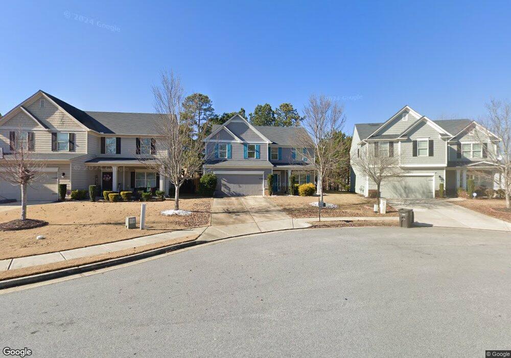
5024 Manning Dr Unit 139 Douglasville, GA 30135
Estimated Value: $349,145 - $396,000
4
Beds
3
Baths
2,219
Sq Ft
$165/Sq Ft
Est. Value
About This Home
This home is located at 5024 Manning Dr Unit 139, Douglasville, GA 30135 and is currently estimated at $365,036, approximately $164 per square foot. 5024 Manning Dr Unit 139 is a home located in Douglas County with nearby schools including Mt. Carmel Elementary School, Chestnut Log Middle School, and New Manchester High School.
Ownership History
Date
Name
Owned For
Owner Type
Purchase Details
Closed on
May 2, 2014
Sold by
Kerley Family Homes At Hr
Bought by
Clarke Charles
Current Estimated Value
Home Financials for this Owner
Home Financials are based on the most recent Mortgage that was taken out on this home.
Original Mortgage
$171,509
Outstanding Balance
$131,246
Interest Rate
4.44%
Mortgage Type
VA
Estimated Equity
$233,790
Purchase Details
Closed on
Dec 18, 2013
Sold by
Boeix Llc
Bought by
Kerley Family Homes At Hr Llc
Purchase Details
Closed on
Nov 28, 2012
Sold by
Redus Atlanta Housing Llc
Bought by
Boeix Llc
Create a Home Valuation Report for This Property
The Home Valuation Report is an in-depth analysis detailing your home's value as well as a comparison with similar homes in the area
Home Values in the Area
Average Home Value in this Area
Purchase History
| Date | Buyer | Sale Price | Title Company |
|---|---|---|---|
| Clarke Charles | $167,900 | -- | |
| Kerley Family Homes At Hr Llc | $36,333 | -- | |
| Boeix Llc | $124,854 | -- |
Source: Public Records
Mortgage History
| Date | Status | Borrower | Loan Amount |
|---|---|---|---|
| Open | Clarke Charles | $171,509 |
Source: Public Records
Tax History Compared to Growth
Tax History
| Year | Tax Paid | Tax Assessment Tax Assessment Total Assessment is a certain percentage of the fair market value that is determined by local assessors to be the total taxable value of land and additions on the property. | Land | Improvement |
|---|---|---|---|---|
| 2024 | $2,169 | $141,720 | $27,000 | $114,720 |
| 2023 | $2,169 | $141,720 | $27,000 | $114,720 |
| 2022 | $3,888 | $112,800 | $18,000 | $94,800 |
| 2021 | $3,687 | $105,040 | $19,600 | $85,440 |
| 2020 | $3,031 | $79,560 | $14,560 | $65,000 |
| 2019 | $2,870 | $78,560 | $14,560 | $64,000 |
| 2018 | $2,780 | $74,760 | $14,240 | $60,520 |
| 2017 | $2,657 | $69,760 | $14,720 | $55,040 |
| 2016 | $2,604 | $66,600 | $14,720 | $51,880 |
| 2015 | $199 | $67,160 | $12,618 | $54,542 |
| 2014 | $199 | $4,840 | $4,840 | $0 |
| 2013 | -- | $7,440 | $7,440 | $0 |
Source: Public Records
Map
Nearby Homes
- 5024 Manning Dr
- 5026 Manning Dr
- 5028 Manning Dr Unit 137
- 5028 Manning Dr
- 5022 Manning Dr Unit 140
- 5022 Manning Dr
- 5035 Saphire Ct
- 5033 Saphire Ct
- 9330 Opal Dr
- 5030 Manning Dr Unit 136
- 5030 Manning Dr
- 9328 Opal Dr
- 9328 Opal Dr Unit 80
- 5021 Manning Dr Unit 141
- 5021 Manning Dr
- 5021 Manning Dr Unit 5021
- 5037 Saphire Ct Unit 107
- 9332 Opal Dr
- 9332 Opal Dr
- 5027 Manning Dr Unit 144