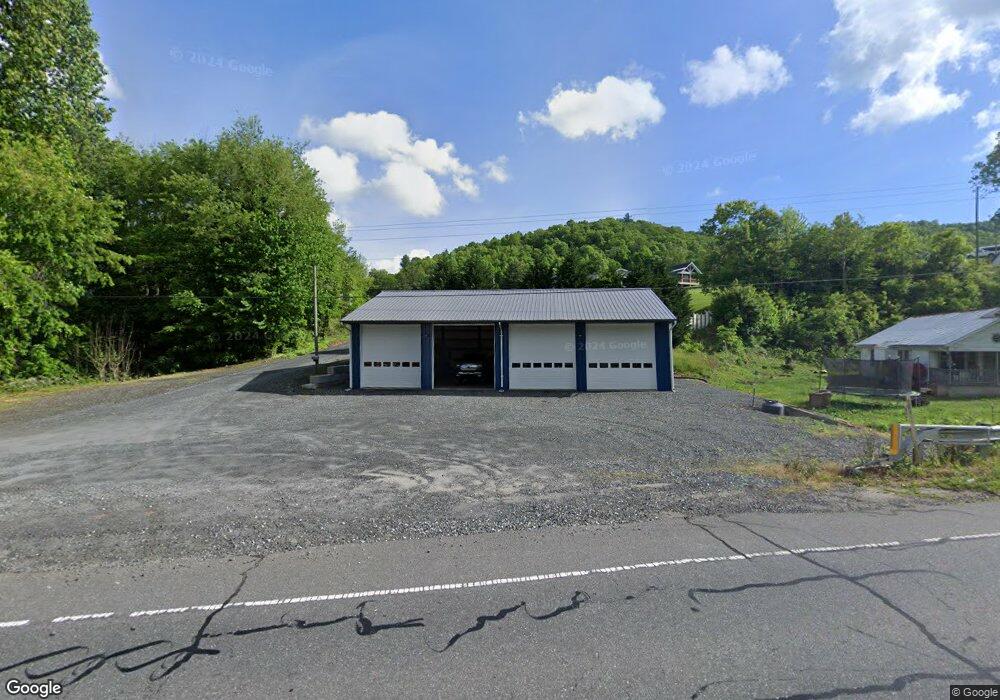
5024 S 226 Hwy Bakersville, NC 28705
Estimated Value: $302,000 - $364,000
3
Beds
3
Baths
1,593
Sq Ft
$216/Sq Ft
Est. Value
About This Home
This home is located at 5024 S 226 Hwy, Bakersville, NC 28705 and is currently estimated at $344,079, approximately $215 per square foot. 5024 S 226 Hwy is a home located in Mitchell County with nearby schools including Gouge Elementary School, Bowman Middle School, and Mitchell High School.
Ownership History
Date
Name
Owned For
Owner Type
Purchase Details
Closed on
Oct 10, 2018
Sold by
Gouge Rodney Lee and Gouge Sherry
Bought by
Gouge Aaron Lee
Current Estimated Value
Purchase Details
Closed on
Nov 9, 2012
Sold by
Gouge Rodney
Bought by
Gouge Rodney
Purchase Details
Closed on
Jan 23, 2009
Sold by
Gouge Roger L and Gouge Judy
Bought by
Gouge Roger L
Purchase Details
Closed on
May 5, 2006
Sold by
Baker Frances M and Baker Carl T
Bought by
Gouge Roger and Gouge Judy
Purchase Details
Closed on
Jun 30, 2005
Sold by
Robinson Jimmy E and Robinson Martha
Bought by
Baker Frances and Baker Carl
Create a Home Valuation Report for This Property
The Home Valuation Report is an in-depth analysis detailing your home's value as well as a comparison with similar homes in the area
Home Values in the Area
Average Home Value in this Area
Purchase History
| Date | Buyer | Sale Price | Title Company |
|---|---|---|---|
| Gouge Aaron Lee | -- | None Available | |
| Gouge Rodney | -- | None Available | |
| Gouge Roger L | -- | -- | |
| Gouge Roger | $120,000 | None Available | |
| Baker Frances | -- | None Available |
Source: Public Records
Tax History Compared to Growth
Tax History
| Year | Tax Paid | Tax Assessment Tax Assessment Total Assessment is a certain percentage of the fair market value that is determined by local assessors to be the total taxable value of land and additions on the property. | Land | Improvement |
|---|---|---|---|---|
| 2025 | $1,816 | $283,800 | $22,800 | $261,000 |
| 2024 | $1,788 | $283,800 | $22,800 | $261,000 |
| 2023 | $1,788 | $283,800 | $22,800 | $261,000 |
| 2022 | $1,788 | $283,800 | $22,800 | $261,000 |
| 2021 | $1,118 | $172,000 | $18,200 | $153,800 |
| 2020 | $1,118 | $172,000 | $18,200 | $153,800 |
| 2019 | $1,118 | $172,000 | $18,200 | $153,800 |
| 2018 | $1,118 | $172,000 | $18,200 | $153,800 |
| 2017 | $944 | $145,300 | $18,200 | $127,100 |
| 2016 | $872 | $145,300 | $18,200 | $127,100 |
| 2015 | $87 | $145,300 | $18,200 | $127,100 |
| 2014 | $872 | $145,300 | $18,200 | $127,100 |
Source: Public Records
Map
Nearby Homes
- 5218 S 226 Hwy
- 370 Bear Creek Church Rd
- TBD Elkins Rd
- 00 Elkins Rd
- 00 Ashland Mountain Rd
- 1424 Bear Creek Rd
- 1371 Wing Rd
- 202 Snow Hill Rd
- 249 Starlin Mountain Rd
- TBD Robert Phillips Rd
- 208 Murdock Rd
- 71 Travis Ln
- 607 Fred Sparks Rd
- 407 Terrell Dr
- 496 English Ln
- 000 High Cliffs Trail
- 987 White Oak Rd
- 3734 Snow Creek Rd
- 49 Loggy Hollow Rd
- 75 Appalachian Way
- 4992 S 226 Hwy
- 4966 S 226 Hwy
- 20 Greenberry Rd
- 226 Duncan Loop
- 245 Duncan Loop
- 102 Greenberry Rd
- 181 Greenberry Rd
- 63 Greenberry Rd
- 312 Greenberry Rd
- 4891 S 226 Hwy
- 43 Greenberry Rd
- 5218 S 226 Hwy
- 137 Duncan Loop
- 311 Greenberry Rd
- 72 Duncan Loop
- 4838 S 226 Hwy
- 267 Jarrett Rd
- 5222 S 226 Hwy
- 4838 S 226 Hwy
- 165 Jarrett Rd