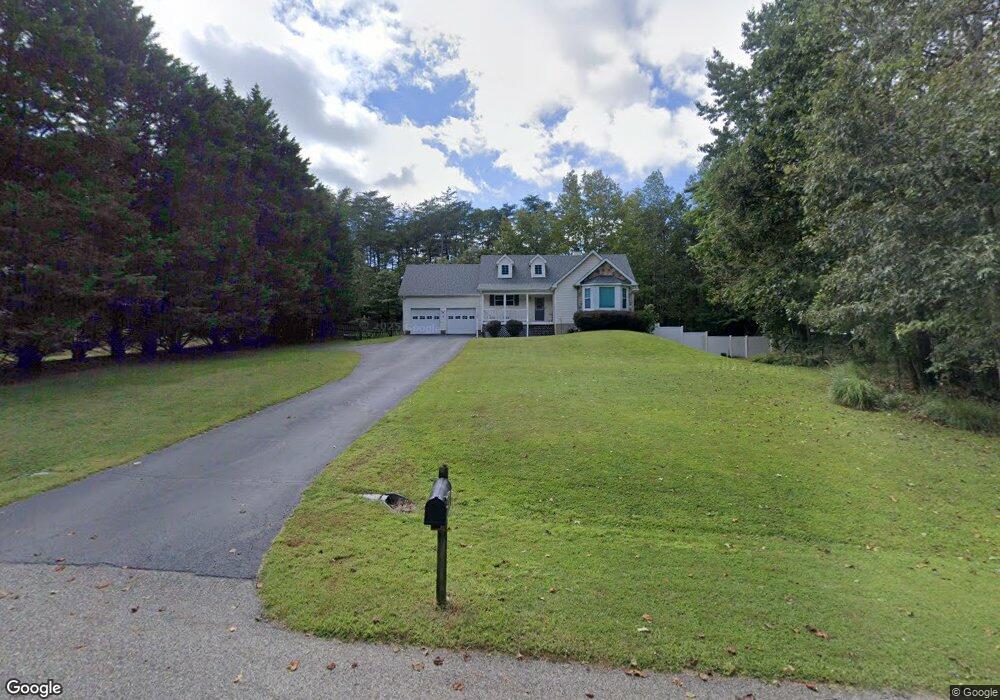
5025 Consent Dr Port Republic, MD 20676
Port Republic NeighborhoodEstimated Value: $472,096 - $526,000
--
Bed
2
Baths
1,339
Sq Ft
$377/Sq Ft
Est. Value
About This Home
This home is located at 5025 Consent Dr, Port Republic, MD 20676 and is currently estimated at $504,524, approximately $376 per square foot. 5025 Consent Dr is a home located in Calvert County with nearby schools including Mutual Elementary School, Calvert Middle School, and Calvert High School.
Ownership History
Date
Name
Owned For
Owner Type
Purchase Details
Closed on
May 6, 2004
Sold by
King Edward Todd
Bought by
King Charles Wesley and King Jessica C
Current Estimated Value
Purchase Details
Closed on
Sep 9, 2003
Sold by
King Edward Todd and King Stacie Lynn
Bought by
King Edward Todd
Purchase Details
Closed on
Jun 8, 1995
Sold by
Comfort Homes Inc
Bought by
King Edward T
Home Financials for this Owner
Home Financials are based on the most recent Mortgage that was taken out on this home.
Original Mortgage
$147,700
Interest Rate
8.21%
Create a Home Valuation Report for This Property
The Home Valuation Report is an in-depth analysis detailing your home's value as well as a comparison with similar homes in the area
Home Values in the Area
Average Home Value in this Area
Purchase History
| Date | Buyer | Sale Price | Title Company |
|---|---|---|---|
| King Charles Wesley | $249,400 | -- | |
| King Edward Todd | -- | -- | |
| King Edward T | $155,500 | -- |
Source: Public Records
Mortgage History
| Date | Status | Borrower | Loan Amount |
|---|---|---|---|
| Previous Owner | King Edward T | $147,700 | |
| Closed | King Edward Todd | -- |
Source: Public Records
Tax History Compared to Growth
Tax History
| Year | Tax Paid | Tax Assessment Tax Assessment Total Assessment is a certain percentage of the fair market value that is determined by local assessors to be the total taxable value of land and additions on the property. | Land | Improvement |
|---|---|---|---|---|
| 2025 | $4,122 | $393,067 | $0 | $0 |
| 2024 | $4,122 | $361,933 | $0 | $0 |
| 2023 | $3,651 | $330,800 | $144,500 | $186,300 |
| 2022 | $3,569 | $323,233 | $0 | $0 |
| 2021 | $3,422 | $315,667 | $0 | $0 |
| 2020 | $3,422 | $308,100 | $144,500 | $163,600 |
| 2019 | $3,428 | $307,533 | $0 | $0 |
| 2018 | $3,409 | $306,967 | $0 | $0 |
| 2017 | $3,446 | $306,400 | $0 | $0 |
| 2016 | -- | $306,400 | $0 | $0 |
| 2015 | $3,651 | $306,400 | $0 | $0 |
| 2014 | $3,651 | $309,700 | $0 | $0 |
Source: Public Records
Map
Nearby Homes
- 3235 Mills Pond Dr
- 3255 Hance Rd
- 4215 Broomes Island Rd
- 2980 Ross Rd
- 6265 Parkers Wharf Rd
- 4360 August Dr
- 5130 Turtle Creek Dr
- 6675 Marshall Rd
- 1879 Oriole Way
- 2900 Honey Cove Ct
- 2683 Sequoia Way
- 6689 Mackall Rd
- 2024 Yew Ct
- 2105 Millstone Ct
- 2412 Comptrollers Ct
- 2409 Senate Ct
- 4816 Briscoe Rd
- 3005 Blackberry Ln
- 7420 Mayflower Ct
- 1980 Joe Harris Rd
- 5045 Consent Dr
- 5020 Consent Dr
- 5055 Consent Dr
- 5040 Consent Dr
- 5005 Consent Dr
- 5050 Consent Dr
- 2950 Hance Rd
- 5060 Consent Dr
- 5085 Consent Dr
- 2890 Hance Rd
- 5080 Consent Dr
- 5110 Consent Dr
- 5014 Erika Place
- 4836 Independence Dr
- 5100 Consent Dr
- 5185 Consent Dr
- 5205 Consent Dr
- 3085 Hance Rd
- 2880 Hance Rd
- 4848 Independence Dr