5025 Mascaro Dr Unit B Las Vegas, NV 89122
Estimated Value: $304,089 - $324,000
2
Beds
2
Baths
1,088
Sq Ft
$291/Sq Ft
Est. Value
About This Home
This home is located at 5025 Mascaro Dr Unit B, Las Vegas, NV 89122 and is currently estimated at $316,522, approximately $290 per square foot. 5025 Mascaro Dr Unit B is a home located in Clark County with nearby schools including Sister Robert Joseph Bailey Elementary School, Francis H Cortney Junior High School, and Basic Academy of International Studies.
Ownership History
Date
Name
Owned For
Owner Type
Purchase Details
Closed on
Jan 14, 2014
Sold by
Madrid Norma I and Isidoro Norma I
Bought by
Madrid Joe and Madrid Norma I
Current Estimated Value
Home Financials for this Owner
Home Financials are based on the most recent Mortgage that was taken out on this home.
Original Mortgage
$97,200
Outstanding Balance
$71,744
Interest Rate
3.82%
Mortgage Type
New Conventional
Estimated Equity
$244,778
Purchase Details
Closed on
Dec 26, 2001
Sold by
Plaster Development Company Inc
Bought by
Isidoro Eugene F and Isidoro Norma I
Home Financials for this Owner
Home Financials are based on the most recent Mortgage that was taken out on this home.
Original Mortgage
$82,950
Interest Rate
5.87%
Create a Home Valuation Report for This Property
The Home Valuation Report is an in-depth analysis detailing your home's value as well as a comparison with similar homes in the area
Home Values in the Area
Average Home Value in this Area
Purchase History
| Date | Buyer | Sale Price | Title Company |
|---|---|---|---|
| Madrid Joe | -- | Equity Title Of Nevada | |
| Isidoro Eugene F | $82,950 | First American Title Co |
Source: Public Records
Mortgage History
| Date | Status | Borrower | Loan Amount |
|---|---|---|---|
| Open | Madrid Joe | $97,200 | |
| Closed | Isidoro Eugene F | $82,950 |
Source: Public Records
Tax History Compared to Growth
Tax History
| Year | Tax Paid | Tax Assessment Tax Assessment Total Assessment is a certain percentage of the fair market value that is determined by local assessors to be the total taxable value of land and additions on the property. | Land | Improvement |
|---|---|---|---|---|
| 2025 | $808 | $74,364 | $21,350 | $53,014 |
| 2024 | $785 | $74,364 | $21,350 | $53,014 |
| 2023 | $785 | $75,208 | $25,200 | $50,008 |
| 2022 | $762 | $65,657 | $19,950 | $45,707 |
| 2021 | $740 | $61,726 | $18,200 | $43,526 |
| 2020 | $716 | $60,640 | $17,500 | $43,140 |
| 2019 | $707 | $56,766 | $14,350 | $42,416 |
| 2018 | $675 | $50,048 | $11,550 | $38,498 |
| 2017 | $1,402 | $47,447 | $10,850 | $36,597 |
| 2016 | $633 | $39,805 | $7,350 | $32,455 |
| 2015 | $630 | $29,925 | $5,600 | $24,325 |
| 2014 | $611 | $21,354 | $3,500 | $17,854 |
Source: Public Records
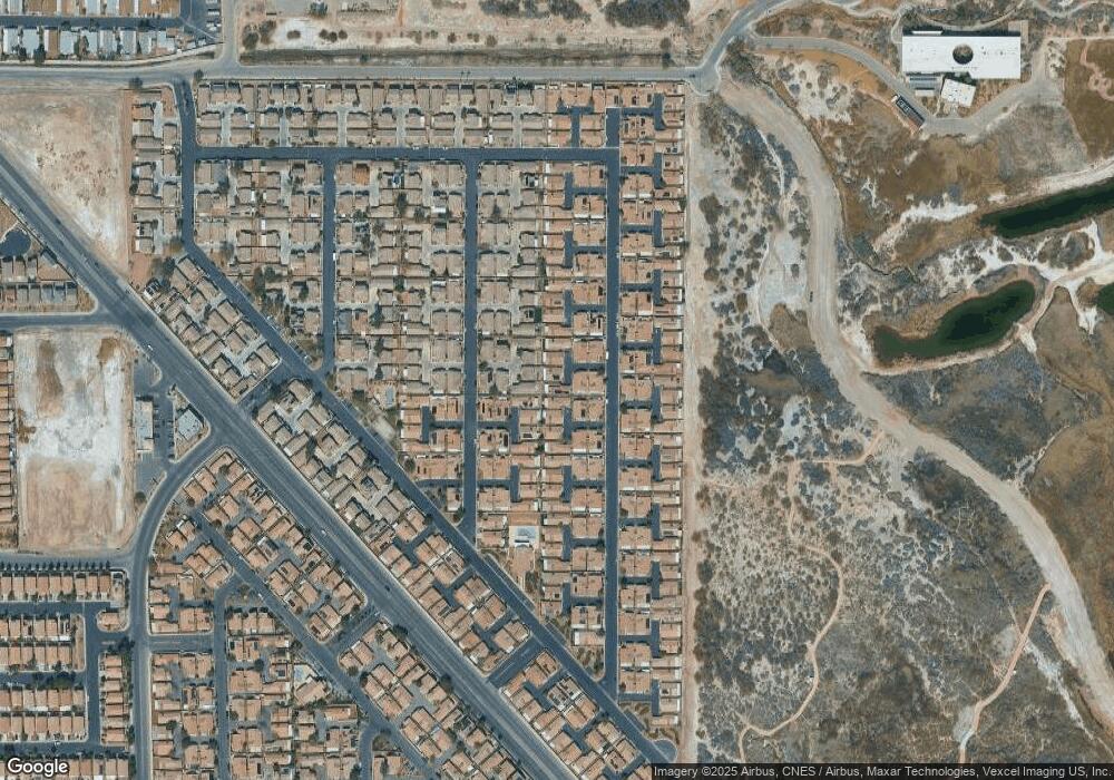
Map
Nearby Homes
- 5043 Mascaro Dr
- 5061 Droubay Dr
- 5114 Mascaro Dr
- 4971 Droubay Dr Unit A
- 5129 Midnight Oil Dr
- 4940 Mascaro Dr
- 6676 Black Oil Dr
- 5196 Mineral Lake Dr
- 5236 Jewel Canyon Dr
- 5230 Panguitch Dr
- 6693 Diamond Care Dr
- 6659 Diamond Care Dr Unit C
- 5279 Mineral Lake Dr Unit C
- 5297 Mineral Lake Dr
- 6483 Brook Cottage Ln
- 5314 Cape Henry St
- 6709 Brick House Ave
- 6495 Chettle House Ln
- 6420 E Tropicana Ave Unit 182
- 6420 E Tropicana Ave Unit 93
- 5021 Mascaro Dr
- 5029 Mascaro Dr
- 5047 Mascaro Dr
- 5017 Mascaro Dr
- 5022 Droubay Dr
- 5039 Mascaro Dr
- 5040 Droubay Dr Unit B
- 5018 Droubay Dr
- 5033 Mascaro Dr
- 5014 Droubay Dr Unit A
- 5051 Mascaro Dr
- 5009 Mascaro Dr
- 5013 Mascaro Dr
- 5035 Mascaro Dr
- 5048 Droubay Dr
- 5026 Droubay Dr
- 5010 Droubay Dr Unit A
- 5005 Mascaro Dr
- 5059 Mascaro Dr Unit B
- 5036 Droubay Dr