Estimated Value: $157,000 - $205,000
Studio
--
Bath
1,200
Sq Ft
$151/Sq Ft
Est. Value
About This Home
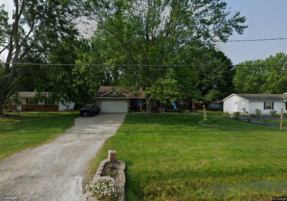
This home is located at 5026 E Stanley Rd, Flint, MI 48506 and is currently estimated at $180,699, approximately $150 per square foot. 5026 E Stanley Rd is a home located in Genesee County with nearby schools including Richfield Early Learning Center, St. Mark Lutheran School, and St. Mary's School.
Ownership History
Date
Name
Owned For
Owner Type
Purchase Details
Closed on
Feb 14, 2002
Sold by
Roda Michael and Roda Rebecca
Bought by
Drummond Jeffrey E and Drummond Kamie S
Current Estimated Value
Home Financials for this Owner
Home Financials are based on the most recent Mortgage that was taken out on this home.
Original Mortgage
$103,200
Outstanding Balance
$42,582
Interest Rate
7.03%
Estimated Equity
$138,117
Purchase Details
Closed on
Feb 23, 2000
Sold by
Novak Lawrence G and Novak Angela
Bought by
Roda Michael
Create a Home Valuation Report for This Property
The Home Valuation Report is an in-depth analysis detailing your home's value as well as a comparison with similar homes in the area
Home Values in the Area
Average Home Value in this Area
Purchase History
| Date | Buyer | Sale Price | Title Company |
|---|---|---|---|
| Drummond Jeffrey E | $129,000 | Lawyers Title Insurance Corp | |
| Roda Michael | $30,000 | Sargents Abstract & Title Co |
Source: Public Records
Mortgage History
| Date | Status | Borrower | Loan Amount |
|---|---|---|---|
| Open | Drummond Jeffrey E | $103,200 |
Source: Public Records
Tax History
| Year | Tax Paid | Tax Assessment Tax Assessment Total Assessment is a certain percentage of the fair market value that is determined by local assessors to be the total taxable value of land and additions on the property. | Land | Improvement |
|---|---|---|---|---|
| 2025 | $1,676 | $77,300 | $0 | $0 |
| 2024 | $358 | $71,100 | $0 | $0 |
| 2023 | $342 | $62,500 | $0 | $0 |
| 2022 | $1,515 | $55,000 | $0 | $0 |
| 2021 | $1,505 | $48,100 | $0 | $0 |
| 2020 | $313 | $44,200 | $0 | $0 |
| 2019 | $308 | $38,700 | $0 | $0 |
| 2018 | $1,398 | $36,600 | $0 | $0 |
| 2017 | $1,809 | $36,400 | $0 | $0 |
| 2016 | $1,794 | $33,800 | $0 | $0 |
| 2015 | $1,569 | $30,600 | $0 | $0 |
| 2014 | $284 | $29,200 | $0 | $0 |
| 2012 | -- | $23,700 | $23,700 | $0 |
Source: Public Records
Map
Nearby Homes
- 0 N Genesee Rd Unit 50142777
- 6478 Oxbow Ln
- 6274 Cree Ct
- 7152 Russell St
- 7047 Birchwood Dr
- 7126 Birchwood Dr
- 475 White Willow Dr
- 654 Basswood Ct
- 649 Basswood Ct
- 254 Green Valley Rd
- 5412 E Stanley Rd
- 18 Timber Ct
- 6065 N Genesee Rd
- 312 Black Oak Ct
- 5492 N Genesee Rd
- 4392 E Coldwater Rd
- 4455 Burgundy Dr
- 7174 N Center Rd
- 5964 Kader Dr
- 7258 N Center Rd
- 5034 E Stanley Rd
- 5014 E Stanley Rd
- 6504 N Genesee Rd
- 5027 Dennis St
- 5035 Dennis St
- 6494 N Genesee Rd
- 5056 E Stanley Rd
- 5049 Dennis St
- 5057 Dennis St
- 6478 N Genesee Rd
- 5067 Dennis St
- 5050 Dennis St
- 5074 E Stanley Rd
- 5074 E Stanley Rd
- 5074 E Stanley Rd
- 5058 Dennis St
- 5077 Dennis St
- 5087 Dennis St
- 5068 Dennis St
- 5076 Dennis St
Your Personal Tour Guide
Ask me questions while you tour the home.