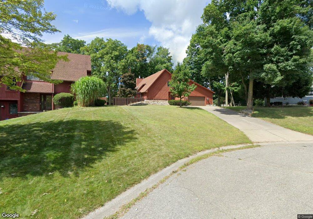
5026 Palisade Dr Lansing, MI 48917
Estimated Value: $299,000 - $328,000
3
Beds
3
Baths
1,751
Sq Ft
$177/Sq Ft
Est. Value
About This Home
This home is located at 5026 Palisade Dr, Lansing, MI 48917 and is currently estimated at $309,749, approximately $176 per square foot. 5026 Palisade Dr is a home located in Eaton County with nearby schools including Waverly Senior High School, Windemere Park Charter Academy, and Greater Lansing Adventist School.
Ownership History
Date
Name
Owned For
Owner Type
Purchase Details
Closed on
Apr 4, 2003
Sold by
Trudell Mark P and Trudell Marlene K
Bought by
Mcintyre Janene
Current Estimated Value
Home Financials for this Owner
Home Financials are based on the most recent Mortgage that was taken out on this home.
Original Mortgage
$149,252
Outstanding Balance
$64,165
Interest Rate
5.76%
Estimated Equity
$245,584
Create a Home Valuation Report for This Property
The Home Valuation Report is an in-depth analysis detailing your home's value as well as a comparison with similar homes in the area
Home Values in the Area
Average Home Value in this Area
Purchase History
| Date | Buyer | Sale Price | Title Company |
|---|---|---|---|
| Mcintyre Janene | $186,565 | First American |
Source: Public Records
Mortgage History
| Date | Status | Borrower | Loan Amount |
|---|---|---|---|
| Open | Mcintyre Janene | $149,252 |
Source: Public Records
Tax History Compared to Growth
Tax History
| Year | Tax Paid | Tax Assessment Tax Assessment Total Assessment is a certain percentage of the fair market value that is determined by local assessors to be the total taxable value of land and additions on the property. | Land | Improvement |
|---|---|---|---|---|
| 2025 | $6,123 | $131,100 | $0 | $0 |
| 2024 | $3,396 | $127,800 | $0 | $0 |
| 2023 | $2,482 | $114,200 | $0 | $0 |
| 2022 | $3,921 | $107,200 | $0 | $0 |
| 2021 | $3,792 | $102,600 | $0 | $0 |
| 2020 | $3,891 | $98,400 | $0 | $0 |
| 2019 | $3,867 | $93,294 | $0 | $0 |
| 2018 | $3,798 | $88,800 | $0 | $0 |
| 2017 | $3,707 | $86,200 | $0 | $0 |
| 2016 | -- | $82,000 | $0 | $0 |
| 2015 | -- | $79,900 | $0 | $0 |
| 2014 | -- | $78,400 | $0 | $0 |
| 2013 | -- | $79,300 | $0 | $0 |
Source: Public Records
Map
Nearby Homes
- 1516 Elmwood Rd
- 4915 Canyon Trail
- 0 San Gabriel
- 4806 W Willow Hwy
- 1049 Maycroft Rd
- 5201 Greenbriar Rd
- 1031 Mall Dr E
- 2212 Holiday Ln
- 4320 Mar Moor Dr
- 5910 Cabrena Dr
- 5754 River Ridge Dr
- 531 Harriet Ave
- 1920 Briarwood Dr
- 1805 Boynton Dr
- 6333 Larocque Cir
- 4120 Arlene Dr
- 1610 Ravenswood Dr
- 215 Winifred Ave Unit A & B
- 3733 Colchester Rd
- 1222 Ravenswood Dr
- 1423 Spearberry Ln
- 5020 Palisade Dr
- 5035 Grape Arbor Ln
- 1417 Spearberry Ln
- 5027 Grape Arbor Ln
- 5043 Grape Arbor Ln
- 5019 Grape Arbor Ln
- 1504 Elmwood Rd
- 5012 Palisade Dr
- 5103 Grape Arbor Ln
- 5027 Grape
- 5011 Palisade Dr
- 5032 Plum Hollow Dr
- 5026 Plum Hollow Dr
- 5011 Grape Arbor Ln
- 5109 Grape Arbor Ln
- 5040 Plum Hollow Dr
- 5004 Palisade Dr
- 5114 Grape
- 5005 Palisade Dr