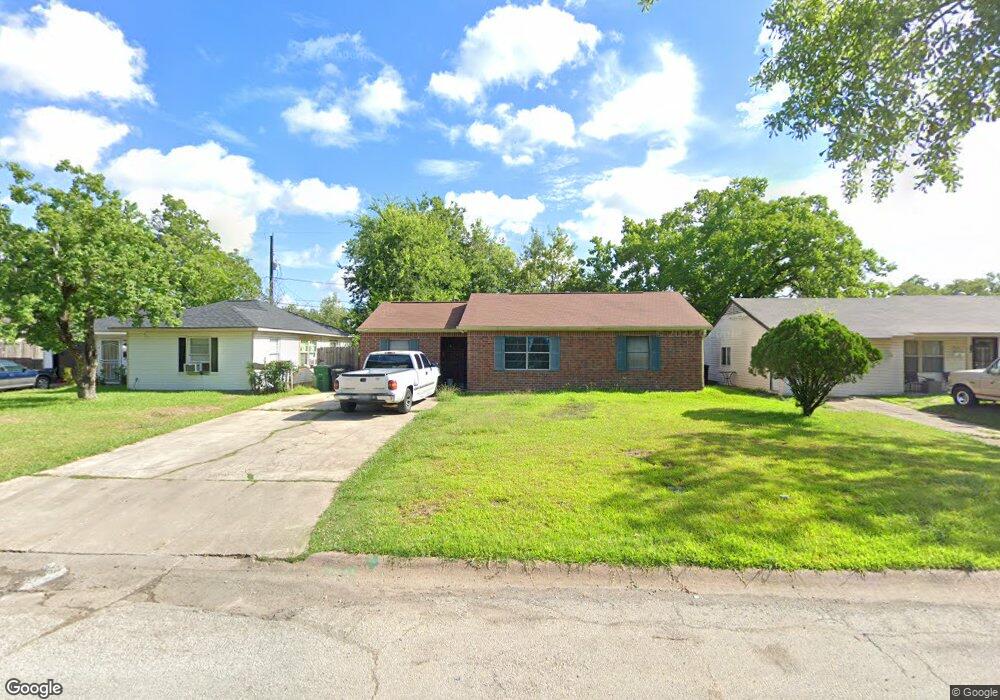
5027 Northridge Dr Houston, TX 77033
South Park NeighborhoodEstimated Value: $126,000 - $172,000
3
Beds
1
Bath
1,000
Sq Ft
$152/Sq Ft
Est. Value
About This Home
This home is located at 5027 Northridge Dr, Houston, TX 77033 and is currently estimated at $151,754, approximately $151 per square foot. 5027 Northridge Dr is a home located in Harris County with nearby schools including Bastian Elementary School, Attucks Middle School, and Worthing High School.
Ownership History
Date
Name
Owned For
Owner Type
Purchase Details
Closed on
Feb 20, 1998
Sold by
Owen Kenneth A and Owen Annette C
Bought by
Washington Robert
Current Estimated Value
Home Financials for this Owner
Home Financials are based on the most recent Mortgage that was taken out on this home.
Original Mortgage
$40,000
Interest Rate
6.92%
Mortgage Type
Seller Take Back
Purchase Details
Closed on
Jul 12, 1993
Sold by
Jackson E Lamar and Jackson Elsie Lillian
Bought by
Washington Robert Earl and Washington Von Doris
Create a Home Valuation Report for This Property
The Home Valuation Report is an in-depth analysis detailing your home's value as well as a comparison with similar homes in the area
Home Values in the Area
Average Home Value in this Area
Purchase History
| Date | Buyer | Sale Price | Title Company |
|---|---|---|---|
| Washington Robert | -- | Texas American Title Company | |
| Washington Robert Earl | -- | -- |
Source: Public Records
Mortgage History
| Date | Status | Borrower | Loan Amount |
|---|---|---|---|
| Closed | Washington Robert | $40,000 |
Source: Public Records
Tax History Compared to Growth
Tax History
| Year | Tax Paid | Tax Assessment Tax Assessment Total Assessment is a certain percentage of the fair market value that is determined by local assessors to be the total taxable value of land and additions on the property. | Land | Improvement |
|---|---|---|---|---|
| 2025 | $1,737 | $129,235 | $66,902 | $62,333 |
| 2024 | $1,737 | $129,235 | $66,902 | $62,333 |
| 2023 | $1,737 | $130,233 | $66,902 | $63,331 |
| 2022 | $1,726 | $110,968 | $54,738 | $56,230 |
| 2021 | $1,661 | $93,910 | $30,410 | $63,500 |
| 2020 | $1,569 | $78,526 | $21,287 | $57,239 |
| 2019 | $1,490 | $66,417 | $13,685 | $52,732 |
| 2018 | $0 | $53,541 | $10,644 | $42,897 |
| 2017 | $1,354 | $53,541 | $10,644 | $42,897 |
| 2016 | $1,264 | $51,654 | $10,644 | $41,010 |
| 2015 | $76 | $45,446 | $10,644 | $34,802 |
| 2014 | $76 | $45,446 | $10,644 | $34,802 |
Source: Public Records
Map
Nearby Homes
- 5103 Northridge Dr
- 5123 Northridge Dr
- 5102 Lyndhurst Dr
- 5027 Willow Glen Dr Unit A-B
- 7810 Darnay Dr
- 0000 Darnay Dr
- 5115 Briscoe St Unit A/B
- 5231 Lyndhurst Dr
- 5019 Edfield St
- 5215 Myrtlewood St
- 4930 Teton St
- 5219 Myrtlewood St
- 5007 Edfield St
- 5223 Myrtlewood St
- 5122 Longmeadow St
- 5211 Pensdale St
- 7606 Darnay Dr
- 5202 Pensdale St
- 5326 Ridgeway Dr
- 5327 Northridge Dr
- 5023 Northridge Dr
- 5031 Northridge Dr
- 5019 Northridge Dr
- 5030 Ridgeway Dr
- 5018 Ridgeway Dr
- 5015 Northridge Dr
- 5030 Northridge Dr
- 5026 Northridge Dr
- 5022 Northridge Dr
- 5014 Ridgeway Dr
- 5018 Northridge Dr
- 5011 Northridge Dr
- 5102 Ridgeway Dr
- 7906 Jutland Rd
- 5010 Ridgeway Dr
- 5102 Northridge Dr
- 5107 Northridge Dr
- 5007 Northridge Dr
- 5027 Ridgeway Dr
- 5023 Ridgeway Dr