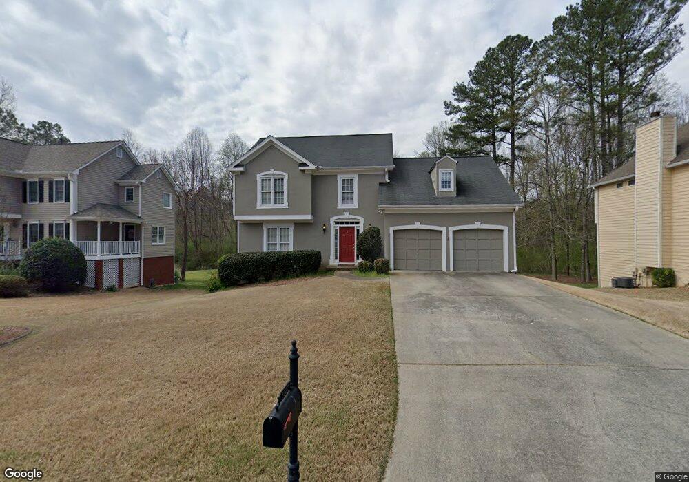
5027 Southland Dr Woodstock, GA 30188
Estimated Value: $449,000 - $463,116
3
Beds
3
Baths
2,020
Sq Ft
$226/Sq Ft
Est. Value
About This Home
This home is located at 5027 Southland Dr, Woodstock, GA 30188 and is currently estimated at $456,058, approximately $225 per square foot. 5027 Southland Dr is a home located in Cherokee County with nearby schools including Arnold Mill Elementary School, Mill Creek Middle School, and River Ridge High School.
Ownership History
Date
Name
Owned For
Owner Type
Purchase Details
Closed on
Jul 5, 2017
Bought by
House Anthony
Current Estimated Value
Home Financials for this Owner
Home Financials are based on the most recent Mortgage that was taken out on this home.
Original Mortgage
$251,275
Outstanding Balance
$207,693
Interest Rate
3.88%
Estimated Equity
$248,365
Purchase Details
Closed on
Sep 24, 2012
Sold by
Cheatham Roy
Bought by
Cheatham Roy and Cheatham Linda S
Home Financials for this Owner
Home Financials are based on the most recent Mortgage that was taken out on this home.
Original Mortgage
$131,000
Interest Rate
2.92%
Mortgage Type
New Conventional
Create a Home Valuation Report for This Property
The Home Valuation Report is an in-depth analysis detailing your home's value as well as a comparison with similar homes in the area
Home Values in the Area
Average Home Value in this Area
Purchase History
| Date | Buyer | Sale Price | Title Company |
|---|---|---|---|
| House Anthony | $288,966 | -- | |
| Cheatham Roy | $131,000 | -- |
Source: Public Records
Mortgage History
| Date | Status | Borrower | Loan Amount |
|---|---|---|---|
| Open | House Anthony | $251,275 | |
| Closed | House Anthony | -- | |
| Previous Owner | Cheatham Roy | $131,000 |
Source: Public Records
Tax History Compared to Growth
Tax History
| Year | Tax Paid | Tax Assessment Tax Assessment Total Assessment is a certain percentage of the fair market value that is determined by local assessors to be the total taxable value of land and additions on the property. | Land | Improvement |
|---|---|---|---|---|
| 2025 | $4,275 | $162,772 | $34,800 | $127,972 |
| 2024 | $4,202 | $161,692 | $34,800 | $126,892 |
| 2023 | $3,803 | $146,332 | $31,600 | $114,732 |
| 2022 | $3,571 | $135,852 | $28,800 | $107,052 |
| 2021 | $3,261 | $114,888 | $24,000 | $90,888 |
| 2020 | $2,879 | $101,328 | $17,600 | $83,728 |
| 2019 | $2,569 | $90,400 | $17,600 | $72,800 |
| 2018 | $2,343 | $81,960 | $17,600 | $64,360 |
| 2017 | $2,316 | $201,000 | $17,600 | $62,800 |
| 2016 | $2,208 | $189,600 | $16,800 | $59,040 |
| 2015 | $1,992 | $169,400 | $12,240 | $55,520 |
| 2014 | $1,872 | $158,900 | $12,240 | $51,320 |
Source: Public Records
Map
Nearby Homes
- 1486 Willow Bend
- 5305 Shotwell Ct Unit III
- 321 Knollwood Ln
- 103 Branch Dr
- Magnolia Plan at Magnolia Reserve
- Chatham Plan at Magnolia Reserve
- Turnberry Plan at Magnolia Reserve
- Heritage Plan at Magnolia Reserve
- 119 Chateau Place
- 504 E Lake Ct
- 212 Fernwood Place
- 120 Fernwood Dr
- LOT 4 Cox Rd
- LOT 3 Cox Rd
- LOT 2 Cox Rd
- 5025 Southland Dr
- 5029 Southland Dr
- 5031 Southland Dr Unit 1
- 5023 Southland Dr
- 5032 Southland Dr
- 5030 Southland Dr
- 5033 Southland Dr
- 5034 Southland Dr
- 5028 Southland Dr
- 5036 Southland Dr
- 5026 Southland Dr
- 4602 Telfair Ct
- 5035 Southland Dr
- 4604 Telfair Ct
- 4809 Augustus Ct
- 5024 Southland Dr
- 4812 Augustus Ct
- 5038 Southland Dr
- 0 Telfair Ct
- 4807 Augustus Ct