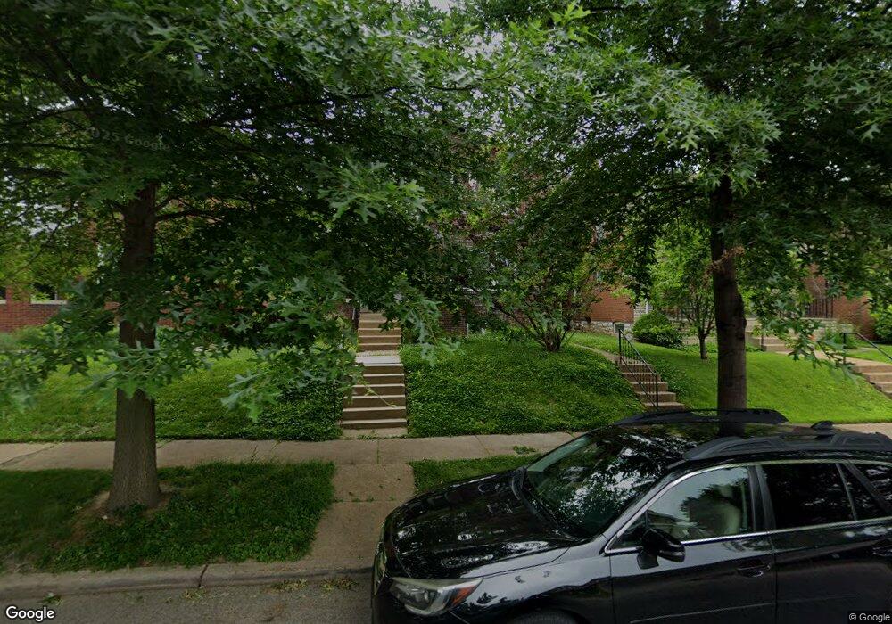
5027 Sutherland Ave Saint Louis, MO 63109
Southampton NeighborhoodEstimated Value: $248,314 - $325,000
Studio
2
Baths
2,424
Sq Ft
$123/Sq Ft
Est. Value
About This Home
This home is located at 5027 Sutherland Ave, Saint Louis, MO 63109 and is currently estimated at $298,329, approximately $123 per square foot. 5027 Sutherland Ave is a home located in St. Louis City with nearby schools including Buder Elementary School, Long International Middle School, and Roosevelt High School.
Ownership History
Date
Name
Owned For
Owner Type
Purchase Details
Closed on
May 10, 2010
Sold by
Fiore Christine
Bought by
Freeman Jan
Current Estimated Value
Home Financials for this Owner
Home Financials are based on the most recent Mortgage that was taken out on this home.
Original Mortgage
$161,820
Outstanding Balance
$108,302
Interest Rate
5.02%
Mortgage Type
FHA
Estimated Equity
$190,027
Purchase Details
Closed on
Dec 12, 2002
Sold by
Fiore Joseph F
Bought by
Fiore Christine
Create a Home Valuation Report for This Property
The Home Valuation Report is an in-depth analysis detailing your home's value as well as a comparison with similar homes in the area
Home Values in the Area
Average Home Value in this Area
Purchase History
| Date | Buyer | Sale Price | Title Company |
|---|---|---|---|
| Freeman Jan | -- | Integrity Land Title Co Inc | |
| Fiore Christine | -- | -- |
Source: Public Records
Mortgage History
| Date | Status | Borrower | Loan Amount |
|---|---|---|---|
| Open | Freeman Jan | $161,820 |
Source: Public Records
Tax History
| Year | Tax Paid | Tax Assessment Tax Assessment Total Assessment is a certain percentage of the fair market value that is determined by local assessors to be the total taxable value of land and additions on the property. | Land | Improvement |
|---|---|---|---|---|
| 2025 | $3,141 | $45,080 | $2,890 | $42,190 |
| 2024 | $2,988 | $37,190 | $2,890 | $34,300 |
| 2023 | $2,988 | $37,190 | $2,890 | $34,300 |
| 2022 | $2,733 | $32,720 | $2,890 | $29,830 |
| 2021 | $2,729 | $32,720 | $2,890 | $29,830 |
| 2020 | $2,407 | $29,050 | $2,890 | $26,160 |
| 2019 | $2,399 | $29,050 | $2,890 | $26,160 |
| 2018 | $2,268 | $26,600 | $2,720 | $23,880 |
| 2017 | $2,229 | $26,600 | $2,720 | $23,880 |
| 2016 | $2,040 | $24,000 | $2,720 | $21,280 |
| 2015 | $1,850 | $24,000 | $2,720 | $21,280 |
| 2014 | $1,832 | $24,000 | $2,720 | $21,280 |
| 2013 | -- | $23,790 | $2,720 | $21,070 |
Source: Public Records
Map
Nearby Homes
- 5031 Sutherland Ave
- 5033 Bancroft Ave
- 5026-5028 Chippewa St
- 5006 - 5008 Chippewa
- 4978 Chippewa St
- 4908 Devonshire Ave
- 5056 Lindenwood Ave
- 4926 Murdoch Ave
- 5045 Lindenwood Ave
- 5339 Murdoch Ave
- 4956 Mardel Ave
- 4967 Mardel Ave
- 4990 Tholozan Ave
- 4931 Mardel Ave
- 4958 Tholozan Ave
- 5001 Pernod Ave
- 4981 Pernod Ave
- 5500 Lindenwood Ave
- 5205 S Kingshighway Blvd
- 5462 Nottingham Ave
- 5025 Sutherland Ave
- 5021 Sutherland Ave
- 5035 Sutherland Ave
- 5017 Sutherland Ave
- 5039 Sutherland Ave
- 5015 Sutherland Ave
- 5028 Bancroft Ave
- 5024 Bancroft Ave
- 5032 Bancroft Ave
- 5020 Bancroft Ave
- 5034 Bancroft Ave
- 5043 Sutherland Ave
- 5018 Bancroft Ave
- 5011 Sutherland Ave
- 5038 Bancroft Ave
- 5028 Sutherland Ave
- 5014 Bancroft Ave
- 5024 Sutherland Ave
- 5018 Sutherland Ave
- 5007 Sutherland Ave
Your Personal Tour Guide
Ask me questions while you tour the home.