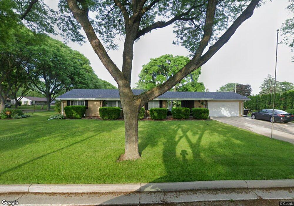
5028 N 131st St Butler, WI 53007
Estimated Value: $283,179 - $415,000
--
Bed
--
Bath
--
Sq Ft
0.36
Acres
About This Home
This home is located at 5028 N 131st St, Butler, WI 53007 and is currently estimated at $347,045. 5028 N 131st St is a home located in Waukesha County with nearby schools including Marcy Elementary School, Templeton Middle School, and Hamilton High School.
Ownership History
Date
Name
Owned For
Owner Type
Purchase Details
Closed on
Mar 1, 2013
Sold by
Mccormick Tim and Mccormick Michelle
Bought by
Mccormick Tim and Mccormick Michelle
Current Estimated Value
Purchase Details
Closed on
Jun 27, 1997
Sold by
Mccormick Anne D and Pritchard Myrtle A
Bought by
Mccormick Timothy J and Mccormick Michelle B
Home Financials for this Owner
Home Financials are based on the most recent Mortgage that was taken out on this home.
Original Mortgage
$99,900
Interest Rate
8%
Mortgage Type
Purchase Money Mortgage
Create a Home Valuation Report for This Property
The Home Valuation Report is an in-depth analysis detailing your home's value as well as a comparison with similar homes in the area
Home Values in the Area
Average Home Value in this Area
Purchase History
| Date | Buyer | Sale Price | Title Company |
|---|---|---|---|
| Mccormick Tim | -- | None Available | |
| Mccormick Timothy J | $130,000 | -- |
Source: Public Records
Mortgage History
| Date | Status | Borrower | Loan Amount |
|---|---|---|---|
| Closed | Mccormick Timothy J | $99,900 |
Source: Public Records
Tax History Compared to Growth
Tax History
| Year | Tax Paid | Tax Assessment Tax Assessment Total Assessment is a certain percentage of the fair market value that is determined by local assessors to be the total taxable value of land and additions on the property. | Land | Improvement |
|---|---|---|---|---|
| 2024 | $3,923 | $234,600 | $49,100 | $185,500 |
| 2023 | $3,090 | $185,300 | $44,600 | $140,700 |
| 2022 | $3,352 | $185,300 | $44,600 | $140,700 |
| 2021 | $3,037 | $185,300 | $44,600 | $140,700 |
| 2020 | $2,967 | $185,300 | $44,600 | $140,700 |
| 2019 | $3,013 | $185,300 | $44,600 | $140,700 |
| 2018 | $3,145 | $185,300 | $44,600 | $140,700 |
| 2017 | $3,113 | $185,300 | $44,600 | $140,700 |
| 2016 | $3,218 | $185,300 | $44,600 | $140,700 |
| 2015 | $3,355 | $185,300 | $44,600 | $140,700 |
| 2014 | $3,274 | $185,300 | $44,600 | $140,700 |
| 2013 | $3,274 | $185,300 | $44,600 | $140,700 |
Source: Public Records
Map
Nearby Homes
- Lt7-8 Lucille Ln
- 12729 W Derby Place
- 4720 Cara Marie Ct Unit A
- W144N4822 Stone Dr Unit C
- N54W14225 Van Buren Dr
- W144N4821 Stone Dr
- 4440 Lilly Rd
- 4602 N 118th St
- 4335 Nighthawk Trail
- 5253 N Lovers Lane Rd Unit 324
- 5253 N Lovers Lane Rd Unit 204
- 5253 N Lovers Lane Rd Unit 232
- 4425 N 143rd St
- 5861 N 121st St
- 11031 W Ruby Ave
- 5935 N 117th St
- 14220 Ranch Rd
- 4655 N 108th St
- 11335 W Carmen Ave
- 4928 N 107th St
- 5025 N 131st St
- 13033 W Colfax Place
- 13050 W Colfax Place
- 5045 N 131st St
- 13032 W Colfax Place
- 5015 N 131st St
- 13015 W Colfax Place
- 13022 W Colfax Place
- 5035 N 131st St
- 13026 W Fairmount Ave
- 5005 N 131st St
- 13039 W Fairmount Ave
- 12945 W Colfax Place
- 13031 W Fairmount Ave
- 13022 W Fairmount Ave
- 13010 W Colfax Place
- 13023 W Fairmount Ave
- 13109 W Fairmount Ave
- 13009 W Fairmount Ave
- 13043 W Lancaster Ave