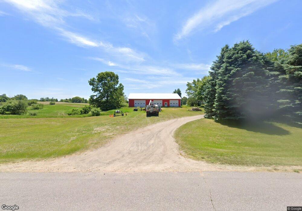
5028 W 12th St Fremont, MI 49412
Estimated Value: $293,000 - $426,000
4
Beds
3
Baths
2,228
Sq Ft
$166/Sq Ft
Est. Value
About This Home
This home is located at 5028 W 12th St, Fremont, MI 49412 and is currently estimated at $369,612, approximately $165 per square foot. 5028 W 12th St is a home located in Newaygo County with nearby schools including Pathfinder Elementary School, Daisy Brook Elementary School, and Fremont Middle School.
Ownership History
Date
Name
Owned For
Owner Type
Purchase Details
Closed on
Jun 1, 2004
Sold by
Hall Donald J and Hall Denise C
Bought by
Tanis Ron A
Current Estimated Value
Home Financials for this Owner
Home Financials are based on the most recent Mortgage that was taken out on this home.
Original Mortgage
$24,000
Outstanding Balance
$11,866
Interest Rate
6.17%
Mortgage Type
Credit Line Revolving
Estimated Equity
$357,746
Purchase Details
Closed on
Jul 23, 2002
Sold by
Rozycki Michelle J N and Rozycki K
Bought by
Hall Donald J
Create a Home Valuation Report for This Property
The Home Valuation Report is an in-depth analysis detailing your home's value as well as a comparison with similar homes in the area
Home Values in the Area
Average Home Value in this Area
Purchase History
| Date | Buyer | Sale Price | Title Company |
|---|---|---|---|
| Tanis Ron A | $160,100 | Metropolitan Title Company | |
| Tanis Ron A | $160,100 | -- | |
| Hall Donald J | $154,000 | -- |
Source: Public Records
Mortgage History
| Date | Status | Borrower | Loan Amount |
|---|---|---|---|
| Open | Tanis Ron A | $24,000 | |
| Open | Tanis Ron A | $128,000 | |
| Closed | Tanis Ron A | $24,000 |
Source: Public Records
Tax History Compared to Growth
Tax History
| Year | Tax Paid | Tax Assessment Tax Assessment Total Assessment is a certain percentage of the fair market value that is determined by local assessors to be the total taxable value of land and additions on the property. | Land | Improvement |
|---|---|---|---|---|
| 2025 | $3,738 | $148,200 | $0 | $0 |
| 2024 | $12 | $148,100 | $0 | $0 |
| 2023 | $1,195 | $120,700 | $0 | $0 |
| 2022 | $3,431 | $113,300 | $0 | $0 |
| 2021 | $3,366 | $109,400 | $0 | $0 |
| 2020 | $3,292 | $101,400 | $0 | $0 |
| 2019 | $3,137 | $108,900 | $0 | $0 |
| 2018 | $3,049 | $102,100 | $0 | $0 |
| 2017 | $2,970 | $97,400 | $0 | $0 |
| 2016 | $2,313 | $82,000 | $0 | $0 |
| 2015 | -- | $85,500 | $0 | $0 |
| 2014 | -- | $81,500 | $0 | $0 |
Source: Public Records
Map
Nearby Homes
- 3283 W Ridge St
- 3268 W Ridge St
- 930 N Meadowbrook
- 2303 S Wisner Ave
- 3710 Ramshorn Dr
- 3484 W Loon Trail
- 1120 N Meadowbrook
- Lot 37 Birch Dr
- 1137 S Bingham Ave
- 1385 N Apple Dr
- 0 Wisner Ave
- 2772 S Wisner Ave
- 0 W 1 Mile Rd Unit 23759984
- 2291 W 22nd St
- 2141 S Parsons Ave
- 4154 Sunset Dr
- 415 Vista Ln
- 895 S Ransom Rd
- 734 N Stewart Ave
- 872 S Ransom Rd
- 4974 W 12th St
- 5065 W 12th St
- 4930 W 12th St
- 4888 W 12th St
- 1321 S Rich Ave
- 1281 S Luce Ave
- 1375 S Rich Ave
- 1232 S Luce Ave
- 1280 S Luce Ave
- 1110 S Luce Ave
- 1203 S Rich Ave
- 1477 S Rich Ave
- 1497 S Luce Ave
- 1372 S Luce Ave
- 1509 S Rich Ave
- 981 S Luce Ave
- 1517 S Luce Ave
- 1198 S Luce Ave
- 1070 S Luce Ave
- 1444 S Luce Ave