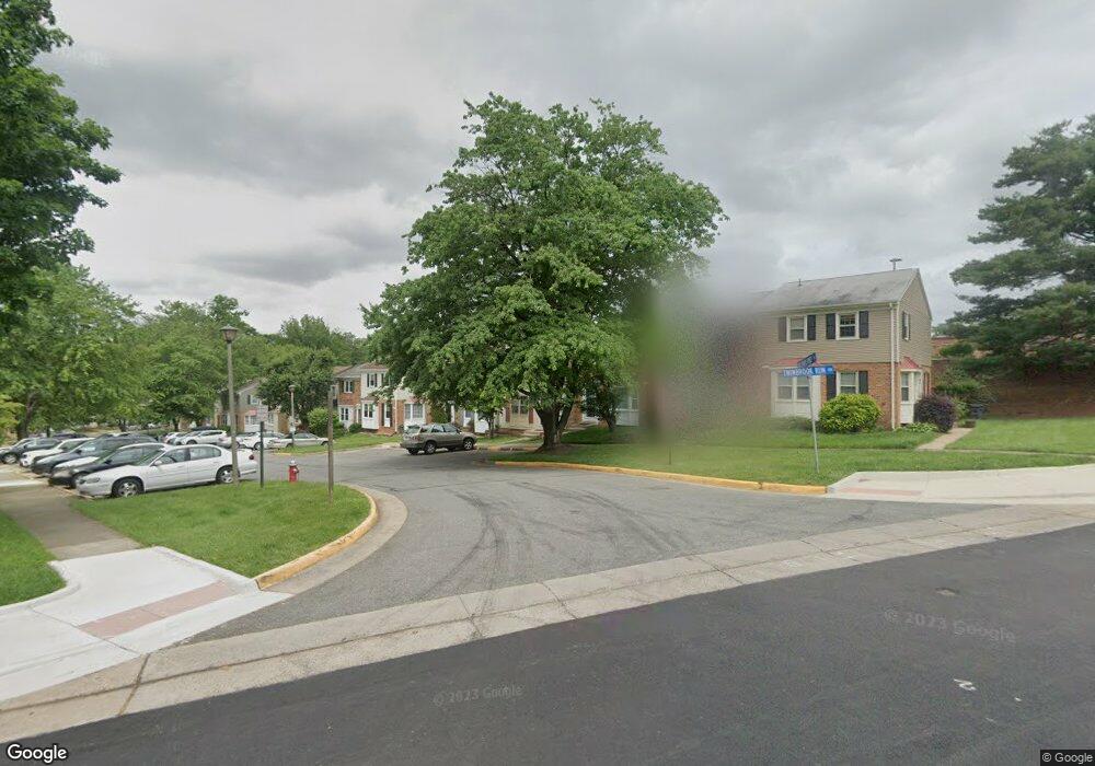
5029 Mcfarland Dr Fairfax, VA 22032
Estimated Value: $580,000 - $616,000
3
Beds
3
Baths
1,297
Sq Ft
$457/Sq Ft
Est. Value
About This Home
This home is located at 5029 Mcfarland Dr, Fairfax, VA 22032 and is currently estimated at $592,733, approximately $457 per square foot. 5029 Mcfarland Dr is a home located in Fairfax County with nearby schools including Laurel Ridge Elementary School, James W Robinson, Jr. Secondary School, and Holy Spirit School.
Ownership History
Date
Name
Owned For
Owner Type
Purchase Details
Closed on
May 16, 2012
Sold by
Flor Jorge G and Flor Eunice
Bought by
Flor Jorge G
Current Estimated Value
Purchase Details
Closed on
Aug 29, 2001
Sold by
Sperry Victoria
Bought by
Flor Eunice
Home Financials for this Owner
Home Financials are based on the most recent Mortgage that was taken out on this home.
Original Mortgage
$192,950
Interest Rate
7.06%
Create a Home Valuation Report for This Property
The Home Valuation Report is an in-depth analysis detailing your home's value as well as a comparison with similar homes in the area
Home Values in the Area
Average Home Value in this Area
Purchase History
| Date | Buyer | Sale Price | Title Company |
|---|---|---|---|
| Flor Jorge G | -- | -- | |
| Flor Eunice | $196,000 | -- |
Source: Public Records
Mortgage History
| Date | Status | Borrower | Loan Amount |
|---|---|---|---|
| Previous Owner | Flor Eunice | $192,950 |
Source: Public Records
Tax History Compared to Growth
Tax History
| Year | Tax Paid | Tax Assessment Tax Assessment Total Assessment is a certain percentage of the fair market value that is determined by local assessors to be the total taxable value of land and additions on the property. | Land | Improvement |
|---|---|---|---|---|
| 2025 | $5,715 | $562,780 | $180,000 | $382,780 |
| 2024 | $5,715 | $493,340 | $155,000 | $338,340 |
| 2023 | $5,490 | $486,510 | $155,000 | $331,510 |
| 2022 | $5,027 | $439,590 | $140,000 | $299,590 |
| 2021 | $4,983 | $424,600 | $135,000 | $289,600 |
| 2020 | $4,619 | $390,270 | $130,000 | $260,270 |
| 2019 | $4,371 | $369,360 | $120,000 | $249,360 |
| 2018 | $4,248 | $369,360 | $120,000 | $249,360 |
| 2017 | $3,946 | $339,860 | $110,000 | $229,860 |
| 2016 | $3,641 | $314,320 | $97,000 | $217,320 |
| 2015 | $3,730 | $334,230 | $97,000 | $237,230 |
| 2014 | $3,722 | $334,230 | $97,000 | $237,230 |
Source: Public Records
Map
Nearby Homes
- 4947 Mcfarland Ct
- 4869 Nash Dr
- 4906 Mcfarland Dr
- 5006 Lone Oak Place
- 9370 Colbert Ct
- 9717 Commonwealth Blvd
- 9883 Becket Ct
- 5137 Richardson Dr
- 9438 Wallingford Dr
- 9896 Becket Ct
- 5039 Kenerson Dr
- 4522 Pickett Rd
- 5055 Kenerson Dr
- 9755 Abington Ct
- 9710 Ashbourn Dr
- 10017 Whitefield St
- 5009 King David Blvd
- 5313 Stonington Dr
- 9513 Burdett Rd
- 5361 Gainsborough Dr
- 5031 Mcfarland Dr
- 5027 Mcfarland Dr
- 5033 Mcfarland Dr
- 5025 Mcfarland Dr
- 5035 Mcfarland Dr
- 5023 Mcfarland Dr
- 5037 Mcfarland Dr
- 5021 Mcfarland Dr
- 5019 Mcfarland Dr
- 5028 Mcfarland Dr
- 5026 Mcfarland Dr
- 5024 Mcfarland Dr
- 5030 Mcfarland Dr
- 5017 Mcfarland Dr
- 5022 Mcfarland Dr
- 5020 Mcfarland Dr
- 5015 Mcfarland Dr
- 5018 Mcfarland Dr
- 5013 Mcfarland Dr
- 5016 Mcfarland Dr