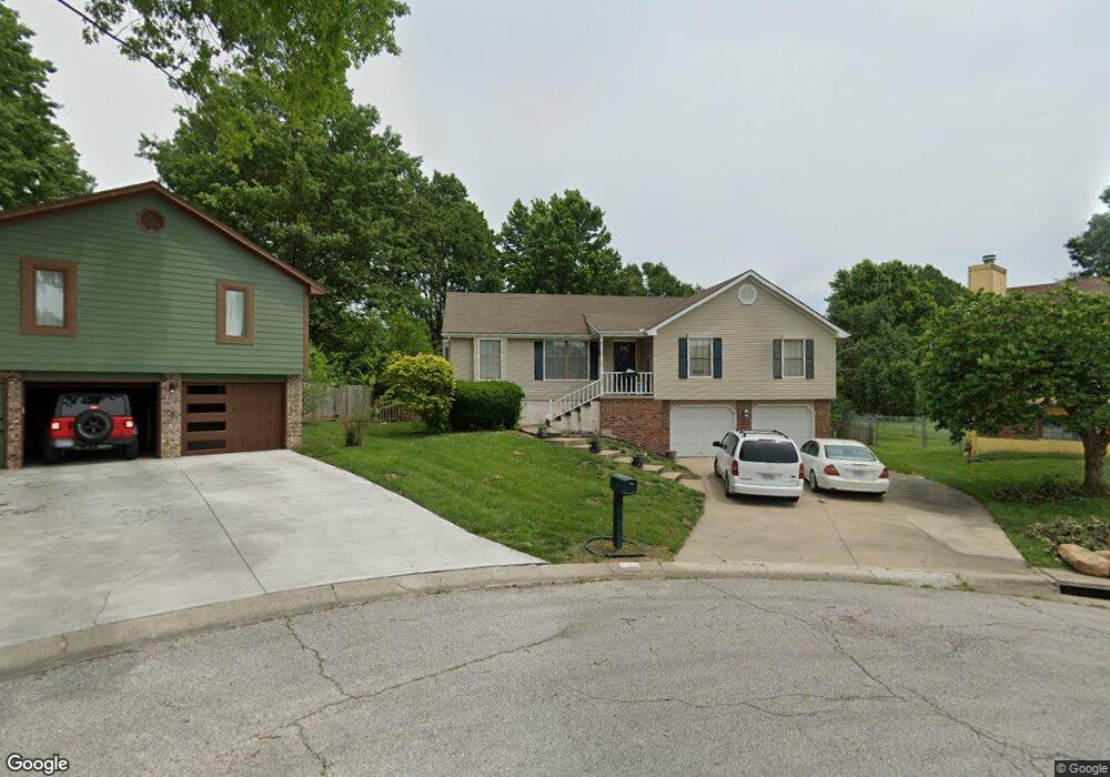
5029 S Bryant Ct Independence, MO 64055
Highland Manor NeighborhoodEstimated Value: $271,091 - $292,000
3
Beds
3
Baths
1,396
Sq Ft
$203/Sq Ft
Est. Value
About This Home
This home is located at 5029 S Bryant Ct, Independence, MO 64055 and is currently estimated at $283,523, approximately $203 per square foot. 5029 S Bryant Ct is a home located in Jackson County with nearby schools including William Southern Elementary School, Bridger Middle School, and Pioneer Ridge Middle School.
Ownership History
Date
Name
Owned For
Owner Type
Purchase Details
Closed on
Apr 13, 2006
Sold by
Parish Charles R
Bought by
Parish Tammie M
Current Estimated Value
Home Financials for this Owner
Home Financials are based on the most recent Mortgage that was taken out on this home.
Original Mortgage
$140,780
Outstanding Balance
$80,714
Interest Rate
6.32%
Mortgage Type
FHA
Estimated Equity
$202,809
Purchase Details
Closed on
Aug 13, 1996
Sold by
Conley James H and Conley Linda K
Bought by
Parish Charles R and Parish Tammie M
Home Financials for this Owner
Home Financials are based on the most recent Mortgage that was taken out on this home.
Original Mortgage
$90,800
Interest Rate
8.32%
Mortgage Type
FHA
Create a Home Valuation Report for This Property
The Home Valuation Report is an in-depth analysis detailing your home's value as well as a comparison with similar homes in the area
Home Values in the Area
Average Home Value in this Area
Purchase History
| Date | Buyer | Sale Price | Title Company |
|---|---|---|---|
| Parish Tammie M | -- | All American Title Company | |
| Parish Charles R | -- | -- |
Source: Public Records
Mortgage History
| Date | Status | Borrower | Loan Amount |
|---|---|---|---|
| Open | Parish Tammie M | $140,780 | |
| Previous Owner | Parish Charles R | $90,800 |
Source: Public Records
Tax History Compared to Growth
Tax History
| Year | Tax Paid | Tax Assessment Tax Assessment Total Assessment is a certain percentage of the fair market value that is determined by local assessors to be the total taxable value of land and additions on the property. | Land | Improvement |
|---|---|---|---|---|
| 2025 | $2,468 | $40,956 | $7,516 | $33,440 |
| 2024 | $2,411 | $35,616 | $5,377 | $30,239 |
| 2023 | $2,411 | $35,616 | $4,851 | $30,765 |
| 2022 | $2,681 | $36,290 | $4,060 | $32,230 |
| 2021 | $2,679 | $36,290 | $4,060 | $32,230 |
| 2020 | $2,405 | $31,643 | $4,060 | $27,583 |
| 2019 | $2,366 | $31,643 | $4,060 | $27,583 |
| 2018 | $887,128 | $27,540 | $3,534 | $24,006 |
| 2017 | $2,157 | $27,540 | $3,534 | $24,006 |
| 2016 | $2,150 | $27,183 | $3,327 | $23,856 |
Source: Public Records
Map
Nearby Homes
- 5017 S Bryant Ct
- 4921 S Peck Ave
- 16900 E 49th Terrace S
- 16600 E 53rd St S Unit 24
- 5222 S Downey Ave
- 16524 E 53rd Terrace Ct S
- 16521 E 53rd Terrace Ct S
- 5300 Lees Summit Rd
- 17305 E 52nd St S
- 5001 Breckenridge Ave
- 5416 S Downey Ct
- 5712 NW Plantation Ln
- 17012 E 46th Street Ct S
- 17318 E Us Highway 40
- 17105 E 45th St S
- 5623 NW Sunrise Meadow Cir
- 4709 S Brentwood Ave
- 4711 S Brentwood Ave
- 15531 E 48th St
- 4714 S Brentwood Ave
- 5033 S Bryant Ct
- 5023 S Bryant Ct
- 16709 E 50th Street Ct S
- 16705 E 50th Street Ct S
- 5032 S Bryant Ct
- 16712 E 51st Street Ct S
- 16708 E 50th Street Ct S
- 5028 S Bryant Ct
- 16708 E 51st Street Ct S
- 5024 S Bryant Ct
- 16701 E 50th Street Ct S
- 5007 S Coachman Dr
- 5020 S Bryant Ct
- 5013 S Coachman Dr
- 16800 E 51st Street Ct S
- 16704 E 50th Street Ct S
- 16713 E 51st Street Ct S
- 4936 S Peck Ave
- 4940 S Peck Ave
- 16700 E 51st Terrace Ct S