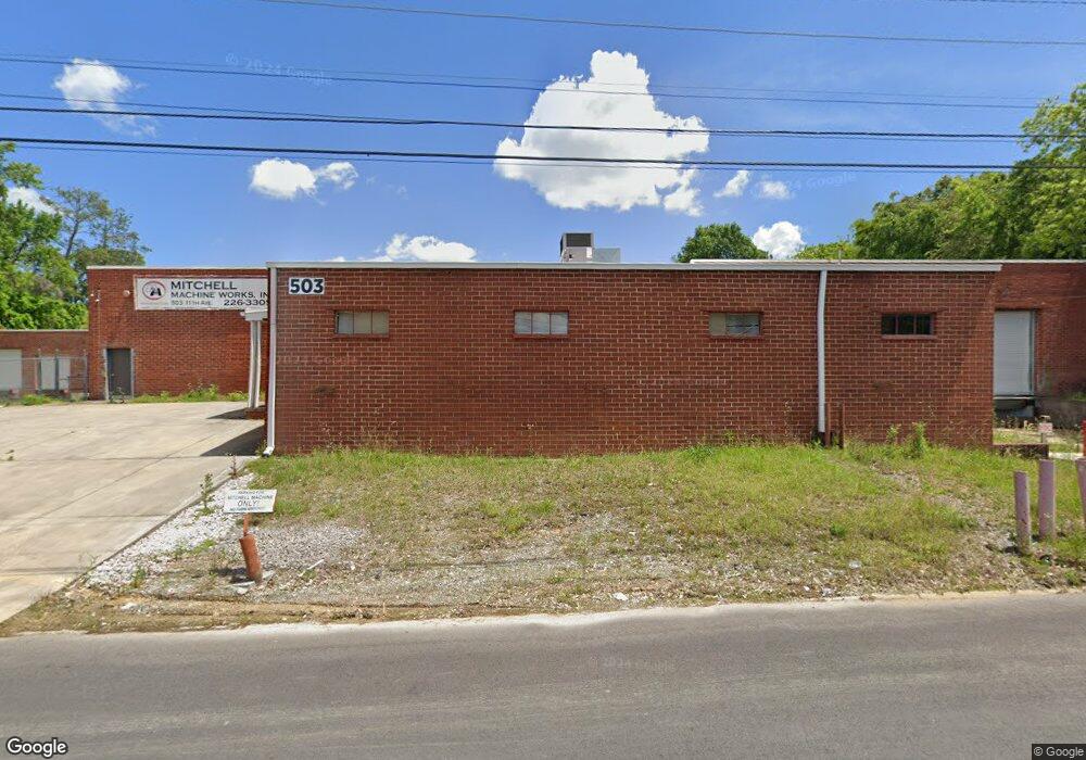
503 11th Ave Dalton, GA 30721
Estimated Value: $837,447
Studio
--
Bath
31,300
Sq Ft
$27/Sq Ft
Est. Value
About This Home
This home is located at 503 11th Ave, Dalton, GA 30721 and is currently estimated at $837,447, approximately $26 per square foot. 503 11th Ave is a home located in Whitfield County with nearby schools including Blue Ridge Elementary School, Dalton High School, and Rock Hill School.
Ownership History
Date
Name
Owned For
Owner Type
Purchase Details
Closed on
Jan 12, 2024
Sold by
11Th Avenue Realty Investments Llc
Bought by
Mhd Real Estate Llc
Current Estimated Value
Purchase Details
Closed on
Jan 16, 2018
Sold by
Norquill Holdings Llc
Bought by
11Th Avenue Realty Investments
Purchase Details
Closed on
Dec 1, 2016
Sold by
Mitchell Mark N
Bought by
Norquill Holdings Llc
Purchase Details
Closed on
Nov 15, 2002
Sold by
Perpetual Machine Company
Bought by
Mitchell Mark N
Purchase Details
Closed on
Dec 1, 1994
Bought by
Perpetual Machine Company
Create a Home Valuation Report for This Property
The Home Valuation Report is an in-depth analysis detailing your home's value as well as a comparison with similar homes in the area
Purchase History
| Date | Buyer | Sale Price | Title Company |
|---|---|---|---|
| Mhd Real Estate Llc | -- | None Listed On Document | |
| Mhd Real Estate Llc | $1,000,000 | None Listed On Document | |
| 11Th Avenue Realty Investments | $440,000 | -- | |
| Norquill Holdings Llc | -- | -- | |
| Mitchell Mark N | $227,500 | -- | |
| Perpetual Machine Company | $199,000 | -- |
Source: Public Records
Tax History
| Year | Tax Paid | Tax Assessment Tax Assessment Total Assessment is a certain percentage of the fair market value that is determined by local assessors to be the total taxable value of land and additions on the property. | Land | Improvement |
|---|---|---|---|---|
| 2025 | $10,459 | $363,712 | $47,200 | $316,512 |
| 2024 | $10,459 | $363,712 | $47,200 | $316,512 |
| 2023 | $6,164 | $175,254 | $18,360 | $156,894 |
| 2022 | $6,036 | $175,254 | $18,360 | $156,894 |
| 2021 | $6,045 | $175,254 | $18,360 | $156,894 |
| 2020 | $6,279 | $175,254 | $18,360 | $156,894 |
| 2019 | $6,474 | $175,254 | $18,360 | $156,894 |
| 2018 | $6,572 | $175,254 | $18,360 | $156,894 |
| 2017 | $4,465 | $123,698 | $10,200 | $113,498 |
| 2016 | $4,493 | $123,698 | $10,200 | $113,498 |
| 2014 | $4,082 | $123,698 | $10,200 | $113,498 |
| 2013 | -- | $123,698 | $10,200 | $113,498 |
Source: Public Records
Map
Nearby Homes
- 514 Sheridan Ave
- 1112 Riverbend Dr
- 1104 May St
- 406 Lester Ave
- 436 Whitener Dr
- 306 Robinwood Dr
- 1302 Jackson Rd
- 626 Fifth Ave
- 902 Mattie Dr
- 1902 Bartenfield Dr
- 1118 Dozier St
- 1629 Roosevelt Dr
- 303 Janice St
- 432 4th Ave
- 1317 Coker Dr
- 171 Keith St
- 204 N Bogle St
- 143 Staten St
- 301B Fields Ave
- 359 Pacer Ln Unit 4
Your Personal Tour Guide
Ask me questions while you tour the home.