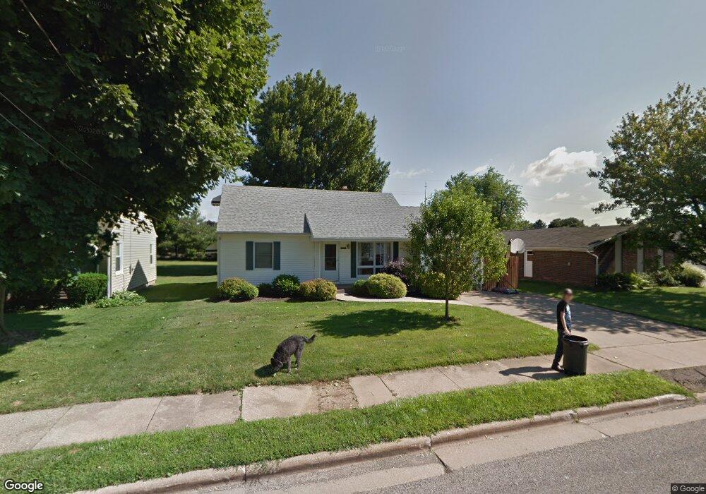
503 7th St NW North Canton, OH 44720
Estimated Value: $191,000 - $206,264
4
Beds
2
Baths
1,224
Sq Ft
$165/Sq Ft
Est. Value
About This Home
This home is located at 503 7th St NW, North Canton, OH 44720 and is currently estimated at $202,316, approximately $165 per square foot. 503 7th St NW is a home located in Stark County with nearby schools including Orchard Hill Intermediate School, North Canton Middle School, and Hoover High School.
Ownership History
Date
Name
Owned For
Owner Type
Purchase Details
Closed on
Jun 30, 2003
Sold by
Stedman Timothy E and Stedman Amy R
Bought by
Ornouski Linda L
Current Estimated Value
Home Financials for this Owner
Home Financials are based on the most recent Mortgage that was taken out on this home.
Original Mortgage
$111,450
Outstanding Balance
$48,275
Interest Rate
5.51%
Mortgage Type
Purchase Money Mortgage
Estimated Equity
$154,041
Purchase Details
Closed on
May 23, 2001
Sold by
Hill Arlene M
Bought by
Stedman Timothy E
Home Financials for this Owner
Home Financials are based on the most recent Mortgage that was taken out on this home.
Original Mortgage
$85,260
Interest Rate
7.07%
Mortgage Type
FHA
Purchase Details
Closed on
Jan 5, 1993
Create a Home Valuation Report for This Property
The Home Valuation Report is an in-depth analysis detailing your home's value as well as a comparison with similar homes in the area
Home Values in the Area
Average Home Value in this Area
Purchase History
| Date | Buyer | Sale Price | Title Company |
|---|---|---|---|
| Ornouski Linda L | $114,900 | -- | |
| Stedman Timothy E | $89,000 | -- | |
| -- | -- | -- |
Source: Public Records
Mortgage History
| Date | Status | Borrower | Loan Amount |
|---|---|---|---|
| Open | Ornouski Linda L | $111,450 | |
| Previous Owner | Stedman Timothy E | $85,260 |
Source: Public Records
Tax History Compared to Growth
Tax History
| Year | Tax Paid | Tax Assessment Tax Assessment Total Assessment is a certain percentage of the fair market value that is determined by local assessors to be the total taxable value of land and additions on the property. | Land | Improvement |
|---|---|---|---|---|
| 2025 | -- | $59,860 | $15,020 | $44,840 |
| 2024 | -- | $59,860 | $15,020 | $44,840 |
| 2023 | $2,477 | $46,310 | $11,940 | $34,370 |
| 2022 | $2,382 | $46,310 | $11,940 | $34,370 |
| 2021 | $2,297 | $46,310 | $11,940 | $34,370 |
| 2020 | $2,212 | $40,040 | $10,360 | $29,680 |
| 2019 | $2,065 | $40,040 | $10,360 | $29,680 |
| 2018 | $2,141 | $40,040 | $10,360 | $29,680 |
| 2017 | $1,916 | $37,630 | $9,590 | $28,040 |
| 2016 | $1,923 | $37,630 | $9,590 | $28,040 |
| 2015 | $1,930 | $37,630 | $9,590 | $28,040 |
| 2014 | $1,960 | $35,670 | $9,100 | $26,570 |
| 2013 | $984 | $35,670 | $9,100 | $26,570 |
Source: Public Records
Map
Nearby Homes
- 404 7th St NW
- 608 Werstler Ave NW
- 455 Royer Ave NW
- 742 Portage St NW
- 624 Portage St NW
- 140 5th St NE
- 1263 Los Angeles Blvd NW
- 1015 Lois Ave NW
- 1060 Park Ave NE
- 1350 Overland Ave NE
- 1171 Terrace Rd NW
- 0 W Maple St Unit 5135089
- 406 Hower St NE
- 1482 Democracy Dr NW
- 448 Hower St NE
- 727 Lorena St SW
- 1222 W Maple St Unit 6A
- 360 Woodside Ave NE
- 945 Royal Oak Ave NE
- 434 Heather Cir NE