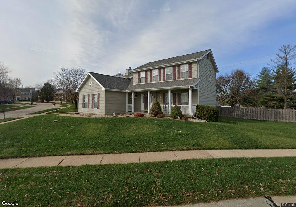
503 Arbor Meadow Dr Ballwin, MO 63021
Estimated Value: $551,118 - $592,000
5
Beds
4
Baths
2,799
Sq Ft
$205/Sq Ft
Est. Value
About This Home
This home is located at 503 Arbor Meadow Dr, Ballwin, MO 63021 and is currently estimated at $574,780, approximately $205 per square foot. 503 Arbor Meadow Dr is a home located in St. Louis County with nearby schools including Oak Brook Elementary School, Parkway Southwest Middle School, and Parkway South High School.
Ownership History
Date
Name
Owned For
Owner Type
Purchase Details
Closed on
Aug 6, 2010
Sold by
Agolia Richard and Agolia Sandra L
Bought by
Agolia Richard and Agolia Sandra L
Current Estimated Value
Home Financials for this Owner
Home Financials are based on the most recent Mortgage that was taken out on this home.
Original Mortgage
$285,000
Outstanding Balance
$184,694
Interest Rate
4.54%
Mortgage Type
New Conventional
Estimated Equity
$390,086
Purchase Details
Closed on
Jan 11, 2001
Sold by
Jacobson Linda L
Bought by
Agolia Richard and Agolia Sandra
Home Financials for this Owner
Home Financials are based on the most recent Mortgage that was taken out on this home.
Original Mortgage
$172,000
Interest Rate
7.55%
Create a Home Valuation Report for This Property
The Home Valuation Report is an in-depth analysis detailing your home's value as well as a comparison with similar homes in the area
Home Values in the Area
Average Home Value in this Area
Purchase History
| Date | Buyer | Sale Price | Title Company |
|---|---|---|---|
| Agolia Richard | -- | Northwest Title Agency Inc | |
| Agolia Richard | $215,000 | -- | |
| Agolia Richard | -- | -- |
Source: Public Records
Mortgage History
| Date | Status | Borrower | Loan Amount |
|---|---|---|---|
| Open | Agolia Richard | $285,000 | |
| Closed | Agolia Richard | $172,000 |
Source: Public Records
Tax History
| Year | Tax Paid | Tax Assessment Tax Assessment Total Assessment is a certain percentage of the fair market value that is determined by local assessors to be the total taxable value of land and additions on the property. | Land | Improvement |
|---|---|---|---|---|
| 2025 | $5,717 | $96,290 | $35,150 | $61,140 |
| 2024 | $5,717 | $88,390 | $24,610 | $63,780 |
| 2023 | $5,637 | $88,390 | $24,610 | $63,780 |
| 2022 | $4,816 | $68,590 | $21,090 | $47,500 |
| 2021 | $4,788 | $68,590 | $21,090 | $47,500 |
| 2020 | $4,814 | $65,360 | $20,790 | $44,570 |
| 2019 | $4,759 | $65,360 | $20,790 | $44,570 |
| 2018 | $4,702 | $59,910 | $17,350 | $42,560 |
| 2017 | $4,568 | $59,910 | $17,350 | $42,560 |
| 2016 | $4,291 | $53,520 | $13,050 | $40,470 |
| 2015 | $4,492 | $53,520 | $13,050 | $40,470 |
| 2014 | $4,086 | $51,990 | $16,170 | $35,820 |
Source: Public Records
Map
Nearby Homes
- 706 Woodside Trails Dr Unit B
- 604 Pine Ridge Trails Ct Unit 202
- 643 Nanceen Ct
- 760 Woodside Trails Dr Unit 203
- 800 Whispering Village Cir
- 648 Running Creek Dr
- 677 Rustic Valley Dr
- 725 Whispering Forest Dr
- 700 Juniper Glen Ct
- 1217 Kiefer Creek Rd
- 1110 Kiefer Creek Rd
- 1155 Kiefer Creek Rd
- 280 Arbors at Bridle Path
- 6 Pleasant Valley Dr
- 713 Village Wood Ct
- 370 Marywood Ct
- 215 Straightoak Ct
- 210 Vistaoak Ct
- 15927 Forest Valley Dr
- 15963 Fox Trotter Ct
- 507 Arbor Meadow Dr
- 437 Arbor Meadow Ct
- 511 Arbor Meadow Dr
- 502 Arbor Meadow Dr
- 510 Arbor Meadow Dr
- 440 Arbor Meadow Ct
- 515 Arbor Meadow Dr
- 433 Arbor Meadow Ct
- 550 Oak Commons Dr
- 566 Oak Leaf Manor Ct
- 551 Oak Commons Dr
- 436 Arbor Meadow Ct
- 522 Arbor Meadow Dr
- 613 Arbor Haven Dr
- 614 Arbor Haven Dr
- 564 Oak Leaf Manor Ct
- 432 Arbor Meadow Ct
- 542 Oak Commons Dr
- 543 Oak Commons Dr
- 519 Arbor Meadow Dr
Your Personal Tour Guide
Ask me questions while you tour the home.