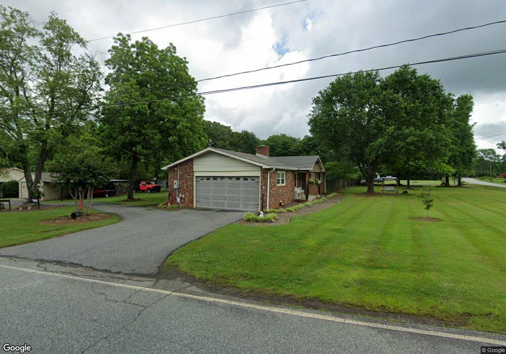
503 Battleground Rd Chesnee, SC 29323
Estimated Value: $213,000 - $269,000
4
Beds
2
Baths
1,386
Sq Ft
$171/Sq Ft
Est. Value
About This Home
This home is located at 503 Battleground Rd, Chesnee, SC 29323 and is currently estimated at $236,834, approximately $170 per square foot. 503 Battleground Rd is a home located in Spartanburg County with nearby schools including Chesnee Elementary School, Chesnee Middle School, and Chesnee High School.
Ownership History
Date
Name
Owned For
Owner Type
Purchase Details
Closed on
Aug 6, 2018
Sold by
Guy Dennis W and Guy Candace D
Bought by
Peterson Ryan T and Peterson Robyn
Current Estimated Value
Purchase Details
Closed on
Jun 17, 2014
Sold by
Schelnutt Louise Pruitt and Shelnutt Louise H
Bought by
Fisher Phillip L and Fisher Kelly D
Purchase Details
Closed on
Dec 30, 2009
Sold by
Shelnutt Louise H
Bought by
Fisher Phillip L and Fisher Kelly D
Create a Home Valuation Report for This Property
The Home Valuation Report is an in-depth analysis detailing your home's value as well as a comparison with similar homes in the area
Home Values in the Area
Average Home Value in this Area
Purchase History
| Date | Buyer | Sale Price | Title Company |
|---|---|---|---|
| Peterson Ryan T | $160,000 | None Available | |
| Fisher Phillip L | -- | -- | |
| Fisher Phillip L | $65,208 | -- |
Source: Public Records
Mortgage History
| Date | Status | Borrower | Loan Amount |
|---|---|---|---|
| Closed | Fisher Phillip L | $0 |
Source: Public Records
Tax History
| Year | Tax Paid | Tax Assessment Tax Assessment Total Assessment is a certain percentage of the fair market value that is determined by local assessors to be the total taxable value of land and additions on the property. | Land | Improvement |
|---|---|---|---|---|
| 2025 | $1,059 | $6,219 | $814 | $5,405 |
| 2024 | $1,059 | $6,219 | $814 | $5,405 |
| 2023 | $1,059 | $6,219 | $814 | $5,405 |
| 2022 | $958 | $5,408 | $600 | $4,808 |
| 2021 | $912 | $5,408 | $600 | $4,808 |
| 2020 | $894 | $5,408 | $600 | $4,808 |
| 2019 | $894 | $5,408 | $600 | $4,808 |
| 2018 | $872 | $5,408 | $600 | $4,808 |
| 2017 | $789 | $4,844 | $600 | $4,244 |
| 2016 | $789 | $4,844 | $600 | $4,244 |
| 2015 | $2,591 | $7,266 | $900 | $6,366 |
| 2014 | $603 | $3,677 | $455 | $3,222 |
Source: Public Records
Map
Nearby Homes
- 506 Battleground Rd
- 201 Lee Dr
- 304 Scenic View Dr
- 3002 Margaret Ct
- 480 Green Lake Rd
- 309 Green Valley Dr
- 150 Colonial Dr
- 114 Mossburg Rd
- 1264 Piedmont Rd
- 616 Mcarthur St
- 700 Red Line Ave
- 00 Woods Farm Rd
- 131 Mcginnis Rd
- 312 E Union St
- 5565 Henderson Hill Rd
- 309 S Lee St
- 384 Edgefield St
- 303 Edgefield St
- 308 Lexington St
- 254 York St
- 315 Scruggs Rd
- 497 Battleground Rd
- 511 Battleground Rd
- 103 Splawn Rd
- 515 Battleground Rd
- 423 Battleground Rd
- 512 Battleground Rd
- 307 Scruggs Rd
- 105 Lee Dr
- 215 Pine Grove Cir
- 419 Battleground Rd
- 113 Splawn Rd
- 104 Splawn Rd
- 225 Pine Grove Cir
- 520 Battleground Rd
- 418 Battleground Rd
- 523 Battleground Rd
- 117 Pine Grove Cir
- 113 Pine Grove Cir
- 121 Pine Grove Cir
Your Personal Tour Guide
Ask me questions while you tour the home.