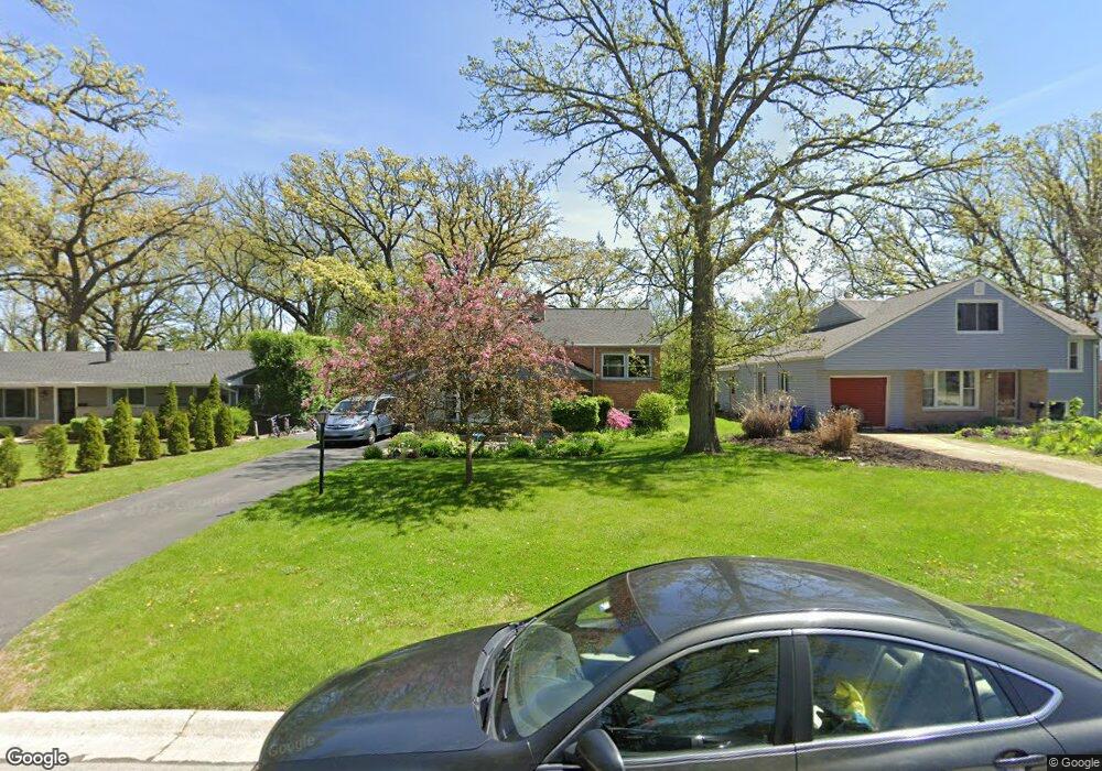
503 Birch Dr Wheaton, IL 60187
West Wheaton NeighborhoodEstimated Value: $399,000 - $485,000
5
Beds
2
Baths
1,787
Sq Ft
$248/Sq Ft
Est. Value
About This Home
This home is located at 503 Birch Dr, Wheaton, IL 60187 and is currently estimated at $443,853, approximately $248 per square foot. 503 Birch Dr is a home located in DuPage County with nearby schools including Emerson Elementary School, Monroe Middle School, and Wheaton North High School.
Ownership History
Date
Name
Owned For
Owner Type
Purchase Details
Closed on
Apr 15, 2008
Sold by
Guy Thomas E and Guy Diane
Bought by
Zurawski Garry M and Zurawski Jacqueline M
Current Estimated Value
Home Financials for this Owner
Home Financials are based on the most recent Mortgage that was taken out on this home.
Original Mortgage
$229,261
Outstanding Balance
$144,544
Interest Rate
5.88%
Mortgage Type
FHA
Estimated Equity
$299,309
Purchase Details
Closed on
Aug 14, 1995
Sold by
Mccarthy Raymond A and Mccarthy Pamela K
Bought by
Guy Thomas E and Guy Diane
Home Financials for this Owner
Home Financials are based on the most recent Mortgage that was taken out on this home.
Original Mortgage
$73,400
Interest Rate
6.6%
Create a Home Valuation Report for This Property
The Home Valuation Report is an in-depth analysis detailing your home's value as well as a comparison with similar homes in the area
Home Values in the Area
Average Home Value in this Area
Purchase History
| Date | Buyer | Sale Price | Title Company |
|---|---|---|---|
| Zurawski Garry M | $232,500 | Pntn | |
| Guy Thomas E | $135,000 | Chicago Title Insurance Co |
Source: Public Records
Mortgage History
| Date | Status | Borrower | Loan Amount |
|---|---|---|---|
| Open | Zurawski Garry M | $229,261 | |
| Previous Owner | Guy Thomas E | $73,400 |
Source: Public Records
Tax History
| Year | Tax Paid | Tax Assessment Tax Assessment Total Assessment is a certain percentage of the fair market value that is determined by local assessors to be the total taxable value of land and additions on the property. | Land | Improvement |
|---|---|---|---|---|
| 2024 | $7,830 | $129,488 | $33,744 | $95,744 |
| 2023 | $7,514 | $119,190 | $31,060 | $88,130 |
| 2022 | $7,385 | $112,630 | $29,350 | $83,280 |
| 2021 | $7,357 | $109,950 | $28,650 | $81,300 |
| 2020 | $7,333 | $108,920 | $28,380 | $80,540 |
| 2019 | $7,162 | $106,040 | $27,630 | $78,410 |
| 2018 | $6,568 | $96,680 | $26,030 | $70,650 |
| 2017 | $6,465 | $93,110 | $25,070 | $68,040 |
| 2016 | $6,374 | $89,390 | $24,070 | $65,320 |
| 2015 | $6,319 | $85,280 | $22,960 | $62,320 |
| 2014 | $6,172 | $82,120 | $20,840 | $61,280 |
| 2013 | $6,013 | $82,360 | $20,900 | $61,460 |
Source: Public Records
Map
Nearby Homes
- 107 N Pierce Ave
- 833 Parkside Dr
- n 071 Stanley St
- 0N105 Lot 1 Nepil Ave
- 0N105 Lot 2 Nepil Ave
- 100 N Gary Ave Unit 304
- 455 W Front St Unit 2208
- 100 N Gary Ave Unit 208
- 405 W Front St Unit 3207
- 0S064 Calvin Ct
- 1785 Grosvenor Cir Unit A
- 1907 Gresham Cir Unit D
- 536 W Evergreen St
- 522 S West St
- 26W548 Prairie Ave
- 26W181 Grand Ave
- 1110 S Gables Blvd
- 114 W Prairie Ave
- 325 W Park Ave
- 1108 N Main St