503 Boston Rd Unit A Groton, MA 01450
Estimated Value: $377,000 - $608,000
2
Beds
2
Baths
1,092
Sq Ft
$417/Sq Ft
Est. Value
About This Home
This home is located at 503 Boston Rd Unit A, Groton, MA 01450 and is currently estimated at $454,905, approximately $416 per square foot. 503 Boston Rd Unit A is a home located in Middlesex County with nearby schools including Groton Dunstable Regional High School, Groton Community School, and Seven Hills At Groton.
Ownership History
Date
Name
Owned For
Owner Type
Purchase Details
Closed on
May 18, 2022
Sold by
Bonica Jason
Bought by
Noe Daniel J and Bonica Jason
Current Estimated Value
Purchase Details
Closed on
Jul 28, 2006
Sold by
Moy Winifred L
Bought by
Bonica Jason
Home Financials for this Owner
Home Financials are based on the most recent Mortgage that was taken out on this home.
Original Mortgage
$167,250
Interest Rate
6.67%
Mortgage Type
Purchase Money Mortgage
Create a Home Valuation Report for This Property
The Home Valuation Report is an in-depth analysis detailing your home's value as well as a comparison with similar homes in the area
Home Values in the Area
Average Home Value in this Area
Purchase History
| Date | Buyer | Sale Price | Title Company |
|---|---|---|---|
| Noe Daniel J | -- | None Available | |
| Noe Daniel J | -- | None Available | |
| Bonica Jason | $223,000 | -- | |
| Bonica Jason | $223,000 | -- |
Source: Public Records
Mortgage History
| Date | Status | Borrower | Loan Amount |
|---|---|---|---|
| Previous Owner | Bonica Jason | $167,250 |
Source: Public Records
Tax History Compared to Growth
Tax History
| Year | Tax Paid | Tax Assessment Tax Assessment Total Assessment is a certain percentage of the fair market value that is determined by local assessors to be the total taxable value of land and additions on the property. | Land | Improvement |
|---|---|---|---|---|
| 2025 | $5,357 | $351,300 | $0 | $351,300 |
| 2024 | $5,301 | $351,300 | $0 | $351,300 |
| 2023 | $5,058 | $323,400 | $0 | $323,400 |
| 2022 | $4,873 | $283,500 | $0 | $283,500 |
| 2021 | $3,666 | $208,300 | $0 | $208,300 |
| 2020 | $3,620 | $208,300 | $0 | $208,300 |
| 2019 | $3,414 | $188,500 | $0 | $188,500 |
| 2018 | $3,519 | $188,500 | $0 | $188,500 |
| 2017 | $3,442 | $188,500 | $0 | $188,500 |
| 2016 | $3,594 | $191,400 | $0 | $191,400 |
| 2015 | $3,497 | $191,400 | $0 | $191,400 |
Source: Public Records
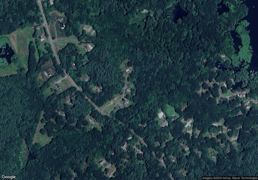
Map
Nearby Homes
- 12 Oriole Dr
- 35 Oxbow Ln
- 227 Boston Rd
- 55 Wenuchas Trail
- 61 Arrow Trail
- 65 Skyfields Dr
- 100 Whitman Rd
- 6 Little Hollow Ln
- 0 Arrow Trail
- 45 Legacy Ln Unit B
- PL 639 Indian Hill Rd
- 26 New Pond Rd
- 40 Hemlock Park Dr
- 72 Dale Ln
- 6 Winterberry Ln
- 222 Forge Village Rd
- Lot 7 Noble Path
- Lot 6 Noble Path
- 21 Heritage Ln
- 284 Martins Pond Rd
- 503 Boston Rd Unit B
- 503 Boston Rd Unit 503B
- 505 Boston Rd Unit B
- 505 Boston Rd Unit A
- 499 Boston Rd Unit A
- 499A Boston Rd
- 499B Boston Rd Unit B
- 499B Boston Rd
- 499B Boston Rd Unit 499B
- 501 Boston Rd Unit B
- 501 Boston Rd Unit A
- 501 Boston Rd Unit 501A
- 501 Boston Rd Unit B 501
- 487 Boston Rd
- 509 Boston Rd Unit A
- 509 Boston Rd Unit B
- 479 Boston Rd
- 0 Nate Nutting Rd
- 498 Boston Rd
- 10 Nate Nutting Rd