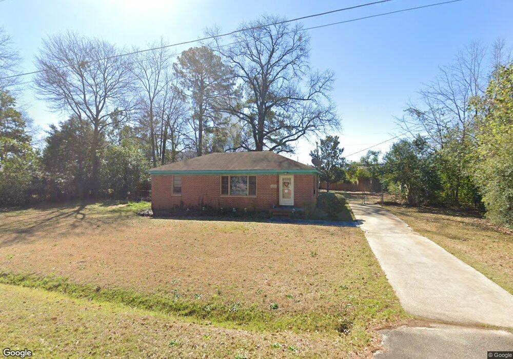
503 Cherokee Dr Warner Robins, GA 31093
Estimated Value: $98,033 - $146,000
--
Bed
1
Bath
952
Sq Ft
$130/Sq Ft
Est. Value
About This Home
This home is located at 503 Cherokee Dr, Warner Robins, GA 31093 and is currently estimated at $123,758, approximately $129 per square foot. 503 Cherokee Dr is a home located in Houston County with nearby schools including Westside Elementary School, Northside Middle School, and Northside High School.
Ownership History
Date
Name
Owned For
Owner Type
Purchase Details
Closed on
Apr 3, 1986
Sold by
Greer Kenneth E
Bought by
Fisher John A
Current Estimated Value
Purchase Details
Closed on
Dec 14, 1979
Sold by
Corrects 553 and Corrects 637
Bought by
Greer Kenneth E
Purchase Details
Closed on
Oct 29, 1979
Sold by
Fliehman Cynthia M
Bought by
Greer Kenneth E
Purchase Details
Closed on
Jun 29, 1979
Sold by
Morrow Marvin T Estate
Bought by
Fliehman Cynthia M
Purchase Details
Closed on
May 26, 1977
Sold by
Orr Harry B and Orr Mildred B
Bought by
Morrow Marvin T
Purchase Details
Closed on
Oct 29, 1956
Bought by
Orr Harry B and Orr Mildred B
Create a Home Valuation Report for This Property
The Home Valuation Report is an in-depth analysis detailing your home's value as well as a comparison with similar homes in the area
Home Values in the Area
Average Home Value in this Area
Purchase History
| Date | Buyer | Sale Price | Title Company |
|---|---|---|---|
| Fisher John A | -- | -- | |
| Greer Kenneth E | -- | -- | |
| Greer Kenneth E | -- | -- | |
| Fliehman Cynthia M | -- | -- | |
| Morrow Marvin T | -- | -- | |
| Orr Harry B | -- | -- |
Source: Public Records
Tax History Compared to Growth
Tax History
| Year | Tax Paid | Tax Assessment Tax Assessment Total Assessment is a certain percentage of the fair market value that is determined by local assessors to be the total taxable value of land and additions on the property. | Land | Improvement |
|---|---|---|---|---|
| 2024 | $398 | $25,844 | $4,800 | $21,044 |
| 2023 | $301 | $22,244 | $4,800 | $17,444 |
| 2022 | $269 | $20,844 | $4,800 | $16,044 |
| 2021 | $209 | $18,188 | $4,800 | $13,388 |
| 2020 | $600 | $18,028 | $4,800 | $13,228 |
| 2019 | $206 | $18,028 | $4,800 | $13,228 |
| 2018 | $206 | $18,028 | $4,800 | $13,228 |
| 2017 | $207 | $18,028 | $4,800 | $13,228 |
| 2016 | $207 | $18,028 | $4,800 | $13,228 |
| 2015 | $207 | $18,040 | $4,800 | $13,240 |
| 2014 | -- | $18,040 | $4,800 | $13,240 |
| 2013 | -- | $20,360 | $4,800 | $15,560 |
Source: Public Records
Map
Nearby Homes
- 800 N Briarcliff Rd
- 105 Briardale Ave
- 110 Briardale Ave
- 112 Briardale Ave
- 504 Sunset Dr
- 133 Briardale Ave
- 103 Draper St
- 213 Briarcliff Rd
- 125 Anne Dr
- 214 Kingsbury Cir
- 402 & 404 Green St
- 113 Pearce Dr
- 113 Sandra Ave
- 100 Ravenwood Way
- 113 Vernon Dr
- 118 Meadowcliff Cir
- 344 Orchard Way
- 122 Jay Dr
- 216 Randall Dr
- 103 Edna Place