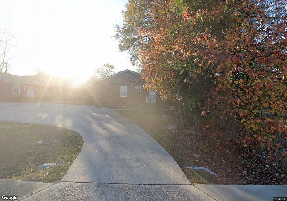
503 Dorn St Grovetown, GA 30813
Estimated Value: $217,387 - $246,000
4
Beds
2
Baths
816
Sq Ft
$284/Sq Ft
Est. Value
About This Home
This home is located at 503 Dorn St, Grovetown, GA 30813 and is currently estimated at $231,694, approximately $283 per square foot. 503 Dorn St is a home located in Columbia County with nearby schools including Grovetown Elementary School, Grovetown Middle School, and Grovetown High School.
Ownership History
Date
Name
Owned For
Owner Type
Purchase Details
Closed on
Oct 12, 2004
Sold by
Sand Terrace Properties Llc
Bought by
Polhamus Jonathan R and Polhamus Adam J
Current Estimated Value
Home Financials for this Owner
Home Financials are based on the most recent Mortgage that was taken out on this home.
Original Mortgage
$89,910
Outstanding Balance
$44,037
Interest Rate
5.71%
Mortgage Type
Unknown
Estimated Equity
$187,657
Purchase Details
Closed on
Nov 10, 2003
Sold by
Toney Brenda I
Bought by
Newman James M
Create a Home Valuation Report for This Property
The Home Valuation Report is an in-depth analysis detailing your home's value as well as a comparison with similar homes in the area
Home Values in the Area
Average Home Value in this Area
Purchase History
| Date | Buyer | Sale Price | Title Company |
|---|---|---|---|
| Polhamus Jonathan R | $99,900 | -- | |
| Sand Terrace Properties Llc | -- | -- | |
| Newman James M | $16,000 | -- |
Source: Public Records
Mortgage History
| Date | Status | Borrower | Loan Amount |
|---|---|---|---|
| Open | Sand Terrace Properties Llc | $89,910 |
Source: Public Records
Tax History Compared to Growth
Tax History
| Year | Tax Paid | Tax Assessment Tax Assessment Total Assessment is a certain percentage of the fair market value that is determined by local assessors to be the total taxable value of land and additions on the property. | Land | Improvement |
|---|---|---|---|---|
| 2025 | $1,560 | $55,721 | $12,704 | $43,017 |
| 2024 | $1,644 | $55,740 | $10,404 | $45,336 |
| 2023 | $1,644 | $45,224 | $9,204 | $36,020 |
| 2022 | $1,393 | $45,224 | $9,204 | $36,020 |
| 2021 | $1,455 | $45,224 | $9,204 | $36,020 |
| 2020 | $1,482 | $0 | $0 | $0 |
| 2019 | $1,437 | $43,472 | $0 | $0 |
| 2018 | $1,458 | $43,472 | $0 | $0 |
| 2017 | $1,208 | $0 | $0 | $0 |
| 2016 | $1,118 | $0 | $0 | $0 |
| 2015 | $1,146 | $0 | $0 | $0 |
| 2014 | $1,176 | $0 | $0 | $0 |
Source: Public Records
Map
Nearby Homes
- 141/137 Lewiston Rd
- 100 Walton Dr
- 116 Bennett St
- 102 Walton Dr
- 104 Bennett St
- 106 Bennett St
- 406 Williams St
- 118 Bennett St
- 106 Walton Dr
- 211 Whiskey Rd
- 213 Whiskey Rd
- 705 Cottonwood Ct
- 939 N Willowick Dr
- 218 Harvestwood Dr
- 425 Whiskey Rd
- 4917 Cavan Place
- 303 Hazelnut Dr
- 100 Buck Ave
- 3508 Patron Dr
- 4907 Selkirk Way