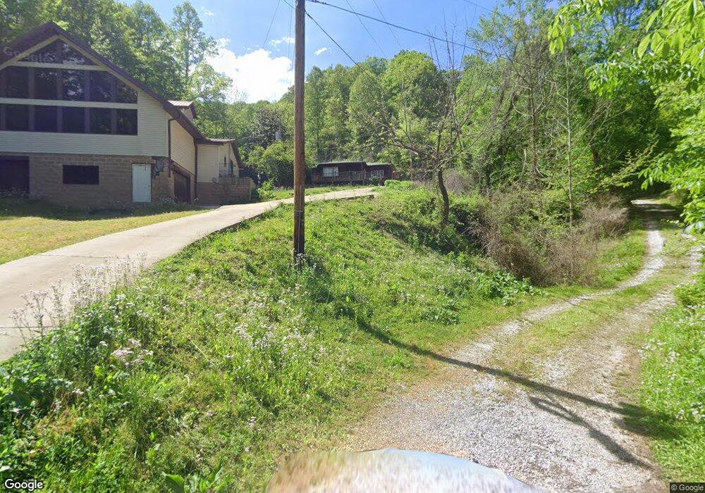
503 Dry Fork Rd Mousie, KY 41839
Estimated Value: $113,000 - $174,000
3
Beds
1
Bath
1,500
Sq Ft
$96/Sq Ft
Est. Value
About This Home
This home is located at 503 Dry Fork Rd, Mousie, KY 41839 and is currently estimated at $143,500, approximately $95 per square foot. 503 Dry Fork Rd is a home with nearby schools including Jones Fork Elementary School, Hindman Elementary School, and Emmalena Elementary School.
Ownership History
Date
Name
Owned For
Owner Type
Purchase Details
Closed on
Jan 24, 2025
Sold by
Slone Emily and Lander Juan
Bought by
Slone Emily
Current Estimated Value
Home Financials for this Owner
Home Financials are based on the most recent Mortgage that was taken out on this home.
Original Mortgage
$51,500
Outstanding Balance
$51,182
Interest Rate
6.72%
Mortgage Type
New Conventional
Estimated Equity
$92,318
Purchase Details
Closed on
Aug 12, 2005
Sold by
Whitaker Administratrix Brenda and Slone Mason
Bought by
Slone Mason
Create a Home Valuation Report for This Property
The Home Valuation Report is an in-depth analysis detailing your home's value as well as a comparison with similar homes in the area
Home Values in the Area
Average Home Value in this Area
Purchase History
| Date | Buyer | Sale Price | Title Company |
|---|---|---|---|
| Slone Emily | $59,000 | None Listed On Document | |
| Slone Emily | $59,000 | None Listed On Document | |
| Slone Mason | -- | -- |
Source: Public Records
Mortgage History
| Date | Status | Borrower | Loan Amount |
|---|---|---|---|
| Open | Slone Emily | $51,500 | |
| Closed | Slone Emily | $51,500 |
Source: Public Records
Tax History Compared to Growth
Tax History
| Year | Tax Paid | Tax Assessment Tax Assessment Total Assessment is a certain percentage of the fair market value that is determined by local assessors to be the total taxable value of land and additions on the property. | Land | Improvement |
|---|---|---|---|---|
| 2024 | $1,003 | $93,000 | $18,000 | $75,000 |
| 2023 | $962 | $93,000 | $0 | $0 |
| 2022 | $1,039 | $93,000 | $0 | $0 |
| 2021 | $0 | $93,000 | $0 | $0 |
| 2020 | $1,043 | $93,000 | $18,000 | $75,000 |
| 2019 | $930 | $93,000 | $18,000 | $75,000 |
| 2018 | $930 | $93,000 | $18,000 | $75,000 |
| 2017 | $930 | $93,000 | $18,000 | $75,000 |
| 2016 | $930 | $93,000 | $18,000 | $75,000 |
| 2015 | $780 | $75,000 | $0 | $0 |
| 2011 | -- | $35,000 | $20,000 | $15,000 |
Source: Public Records
Map
Nearby Homes
- 513 Bear Fork Rd
- 0 Hunter Branch Rd
- 14376 Highway 550 E
- 00 Estill Bottom
- 811 W Garrett Rd
- 644 Clearwater Rd
- 25 Pack Castle Rd
- 87 Springfield Dr
- 3023 Kentucky 7
- 0 State Highway 1086
- 48 Camp Rd
- 543 Jefferson Rd
- 0 Shop Branch Rd
- 3083 Kentucky 550
- 608 Kentucky 1087
- 0 Db 702 Dp 418 Ky Rt 550
- 0 Db 702 Dp 418 Midas Rd
- 3083 Ky Route 550
- 45 Cedar Dr
- 2094 Straight Fork Rd
- 490 Dry Fk Rd
- 415 Dry Fork Rd
- 233 Dry Fork Rd
- 157 Dry Fork Rd
- 126 Dry Fork Rd
- 124 Dry Fork Rd
- 115 Dry Fork Rd
- 11759 Highway 550 E
- 10422 Highway 550 E
- 10470 Highway 550 E
- 9951 Highway 550 E
- 9836 Highway 550 E
- 9843 Highway 550 E
- 9878 Highway 550 E
- 120 Timothy Ln
- 53 White Oak Flats
- 12473 Highway 550 Fork E
- 144 White Oak Flats
- 159 White Oak Flats
- 810 Chaffins Branch Rd