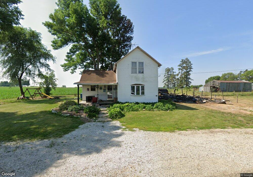
503 E Mill Rd Sheffield, IL 61361
Estimated Value: $52,714 - $142,000
Studio
--
Bath
--
Sq Ft
13,765
Sq Ft Lot
About This Home
This home is located at 503 E Mill Rd, Sheffield, IL 61361 and is currently estimated at $85,429. 503 E Mill Rd is a home located in Bureau County with nearby schools including Bureau Valley Wyanet Elementary School and Bureau Valley High School.
Ownership History
Date
Name
Owned For
Owner Type
Purchase Details
Closed on
Jul 8, 2025
Sold by
Village Of Sheffield
Bought by
American Commercial Bank & Trust
Current Estimated Value
Purchase Details
Closed on
Nov 7, 2024
Sold by
Gutschlag Donna and Crow Donna
Bought by
Village Of Sheffield
Purchase Details
Closed on
Feb 25, 2009
Sold by
Barrow Wesley L and Barrow Beverly J
Bought by
Gutschlag Donna
Create a Home Valuation Report for This Property
The Home Valuation Report is an in-depth analysis detailing your home's value as well as a comparison with similar homes in the area
Purchase History
| Date | Buyer | Sale Price | Title Company |
|---|---|---|---|
| American Commercial Bank & Trust | -- | None Listed On Document | |
| Village Of Sheffield | -- | None Listed On Document | |
| Village Of Sheffield | -- | None Listed On Document | |
| Gutschlag Donna | $35,000 | None Available |
Source: Public Records
Tax History
| Year | Tax Paid | Tax Assessment Tax Assessment Total Assessment is a certain percentage of the fair market value that is determined by local assessors to be the total taxable value of land and additions on the property. | Land | Improvement |
|---|---|---|---|---|
| 2024 | $1,305 | $14,388 | $3,202 | $11,186 |
| 2023 | $1,305 | $13,403 | $2,983 | $10,420 |
| 2022 | $639 | $12,455 | $2,772 | $9,683 |
| 2021 | $551 | $11,494 | $2,558 | $8,936 |
| 2020 | $542 | $11,342 | $2,524 | $8,818 |
| 2019 | $524 | $11,131 | $2,477 | $8,654 |
| 2018 | $446 | $10,579 | $2,354 | $8,225 |
| 2017 | $403 | $10,341 | $2,301 | $8,040 |
| 2016 | $407 | $10,013 | $2,228 | $7,785 |
| 2015 | -- | $7,502 | $0 | $7,502 |
| 2014 | -- | $9,649 | $2,147 | $7,502 |
| 2013 | -- | $9,886 | $2,200 | $7,686 |
Source: Public Records
Map
Nearby Homes
- 204 E South St
- 101 W Mill Rd
- 210 W South St
- 340 S Main St
- 302 W Cook St
- 136 N Washington St
- 13422 State 40
- 319 N 4th St
- 14651 1200 St E
- 227 E 2nd St
- 0000 North Ave
- 17580 1200 St E
- 0 County Road 00 E
- 13166 1200 N
- 21111 550 East St
- 510 Greencastle Dr
- 21446 County Road 700 E
- 220 E 2nd St
- 13386 1450 East St
- 21882 410 East St
- 714 S Thomas St
- 713 S School St
- 712 S Thomas St
- 501 E Mill Rd
- 446 E Mill Rd
- 710 S Thomas St
- 440 E Mill Rd
- 525 E South St
- 702 E Mill Rd
- 501 E South St
- 720 S School St
- 625 E South St
- 712 S School St
- 621 E South St
- 438 E Mill Rd
- 441 E South St
- 710 S School St
- 437 E South St Unit 353
- 437 E South St Unit 353
- 437 E South St
Your Personal Tour Guide
Ask me questions while you tour the home.