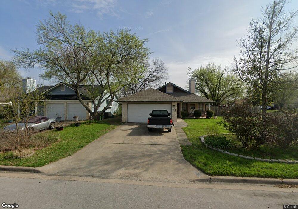
503 Edwards Dr Round Rock, TX 78664
Stony Point NeighborhoodEstimated Value: $307,934 - $380,000
3
Beds
2
Baths
1,482
Sq Ft
$230/Sq Ft
Est. Value
About This Home
This home is located at 503 Edwards Dr, Round Rock, TX 78664 and is currently estimated at $341,234, approximately $230 per square foot. 503 Edwards Dr is a home located in Williamson County with nearby schools including Union Hill Elementary School, Hernandez Middle School, and Stony Point High IB World School.
Ownership History
Date
Name
Owned For
Owner Type
Purchase Details
Closed on
Aug 25, 2008
Sold by
Dowell Joe and Dowell Roswitha
Bought by
Crocker Michael Ray and Torres Crocker Alondra
Current Estimated Value
Home Financials for this Owner
Home Financials are based on the most recent Mortgage that was taken out on this home.
Original Mortgage
$121,500
Outstanding Balance
$79,919
Interest Rate
6.29%
Mortgage Type
Purchase Money Mortgage
Estimated Equity
$261,315
Create a Home Valuation Report for This Property
The Home Valuation Report is an in-depth analysis detailing your home's value as well as a comparison with similar homes in the area
Home Values in the Area
Average Home Value in this Area
Purchase History
| Date | Buyer | Sale Price | Title Company |
|---|---|---|---|
| Crocker Michael Ray | -- | Gracy |
Source: Public Records
Mortgage History
| Date | Status | Borrower | Loan Amount |
|---|---|---|---|
| Open | Crocker Michael Ray | $121,500 |
Source: Public Records
Tax History
| Year | Tax Paid | Tax Assessment Tax Assessment Total Assessment is a certain percentage of the fair market value that is determined by local assessors to be the total taxable value of land and additions on the property. | Land | Improvement |
|---|---|---|---|---|
| 2025 | $4,289 | $325,518 | -- | -- |
| 2024 | $4,289 | $295,925 | -- | -- |
| 2023 | $3,748 | $269,023 | $0 | $0 |
| 2022 | $4,638 | $244,566 | $0 | $0 |
| 2021 | $4,991 | $222,333 | $52,000 | $200,620 |
| 2020 | $4,563 | $202,121 | $48,521 | $180,928 |
| 2019 | $4,242 | $183,746 | $44,482 | $181,476 |
| 2018 | $3,523 | $167,042 | $35,738 | $170,279 |
| 2017 | $3,578 | $151,856 | $33,400 | $154,031 |
| 2016 | $3,252 | $138,051 | $33,400 | $123,705 |
| 2015 | $2,478 | $125,501 | $30,200 | $120,588 |
| 2014 | $2,478 | $114,092 | $0 | $0 |
Source: Public Records
Map
Nearby Homes
- 2006 Heathwood Cir
- 902 E Bowman Rd
- 607 Saunders Dr
- 514 Sara Dr
- 1904 Cameo Dr
- 609 Clearwater Trail
- 801 Saunders Dr
- 1901 Bradmore Dr
- 800 Saunders Dr
- 1708 W Mesa Park Dr
- 504 Virginia Dr
- 1008 Ridgeline Dr
- 909 Clearwater Trail
- 2407 Curry Loop
- 902 Virginia Dr
- 2101 Jester Farms
- 1301 Wayne Dr
- 1500 Wildflower Dr
- 1402 Wayne Dr
- 1204 Melbourne Ln
- 505 Edwards Dr
- 2015 James Place
- 507 Edwards Dr
- 2100 James Place
- 2013 James Place
- 2016 James Place
- 502 Edwards Dr
- 2102 James Place
- 504 Edwards Dr
- 501 Egger Cove
- 509 Edwards Dr
- 2014 James Place
- 500 Edwards Dr
- 500 Egger Cove
- 506 Edwards Dr
- 2011 James Place
- 2104 James Place
- 2012 James Place
- 511 Edwards Dr
- 508 Edwards Dr
Your Personal Tour Guide
Ask me questions while you tour the home.