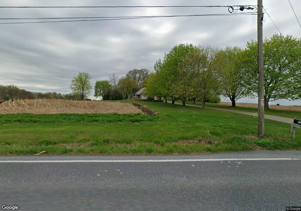
503 Lauschtown Rd Denver, PA 17517
Estimated Value: $697,212 - $909,000
3
Beds
5
Baths
3,633
Sq Ft
$210/Sq Ft
Est. Value
About This Home
This home is located at 503 Lauschtown Rd, Denver, PA 17517 and is currently estimated at $763,303, approximately $210 per square foot. 503 Lauschtown Rd is a home located in Lancaster County with nearby schools including Garden Spot Middle School, Garden Spot Senior High School, and Gehmans Mennonite School.
Ownership History
Date
Name
Owned For
Owner Type
Purchase Details
Closed on
Jul 14, 2008
Sold by
Horning C Nelson and Horning Cynthia Kay
Bought by
Horning C Nelson and Horning Cynthia Kay
Current Estimated Value
Purchase Details
Closed on
Jul 11, 2008
Sold by
Horning Harvey W and Horning Ruth A
Bought by
Horning C Nelson and Horning Cynthia Kay
Create a Home Valuation Report for This Property
The Home Valuation Report is an in-depth analysis detailing your home's value as well as a comparison with similar homes in the area
Home Values in the Area
Average Home Value in this Area
Purchase History
| Date | Buyer | Sale Price | Title Company |
|---|---|---|---|
| Horning C Nelson | -- | None Available | |
| Horning C Nelson | -- | None Available |
Source: Public Records
Tax History Compared to Growth
Tax History
| Year | Tax Paid | Tax Assessment Tax Assessment Total Assessment is a certain percentage of the fair market value that is determined by local assessors to be the total taxable value of land and additions on the property. | Land | Improvement |
|---|---|---|---|---|
| 2025 | $6,469 | $375,900 | $103,200 | $272,700 |
| 2024 | $6,469 | $375,900 | $103,200 | $272,700 |
| 2023 | $6,337 | $375,900 | $103,200 | $272,700 |
| 2022 | $6,228 | $375,900 | $103,200 | $272,700 |
| 2021 | $5,916 | $375,900 | $103,200 | $272,700 |
| 2020 | $5,916 | $375,900 | $103,200 | $272,700 |
| 2019 | $5,846 | $375,900 | $103,200 | $272,700 |
| 2018 | $9,311 | $375,900 | $103,200 | $272,700 |
| 2017 | $4,388 | $230,400 | $63,100 | $167,300 |
| 2016 | $4,388 | $230,400 | $63,100 | $167,300 |
| 2015 | $923 | $230,400 | $63,100 | $167,300 |
| 2014 | $3,321 | $230,400 | $63,100 | $167,300 |
Source: Public Records
Map
Nearby Homes
- 256 W Valley Rd
- 346 Aplomado St
- Westbrooke Plan at Hawk Valley Estates
- Callahan Plan at Hawk Valley Estates
- Silverbrooke Plan at Hawk Valley Estates
- Wesley Plan at Hawk Valley Estates
- Bridgemont Plan at Hawk Valley Estates
- Logan Plan at Hawk Valley Estates
- Brookfield Plan at Hawk Valley Estates
- Kingston Plan at Hawk Valley Estates
- Berkley Plan at Hawk Valley Estates
- Sullivan Plan at Hawk Valley Estates
- 01 W Valley Rd
- 101 Hawk Valley Ln
- 117 Hawk Valley Ln Unit 105
- 4 Eagle Cir
- 1393 Douglas Dr
- 297 Orchard Rd
- 1395 Bowmansville Rd Unit 40
- 114 Cedarwood Dr
- 488 Panorama Dr
- 495 Panorama Dr
- 463 Lauschtown Rd
- 455 Lauschtown Rd
- 515 Panorama Dr
- 448 Lauschtown Rd
- 465 Panorama Dr
- 519 Panorama Dr
- 457 Panorama Dr
- 523 Panorama Dr
- 487 Panorama Dr
- 487 Panorama Dr
- 527 Panorama Dr
- 553 Lauschtown Rd
- 443 Lauschtown Rd
- 531 Panorama Dr
- 551 Lauschtown Rd Unit 5
- 551 Lauschtown Rd Unit 4
- 551 Lauschtown Rd Unit 3
- 551 Lauschtown Rd