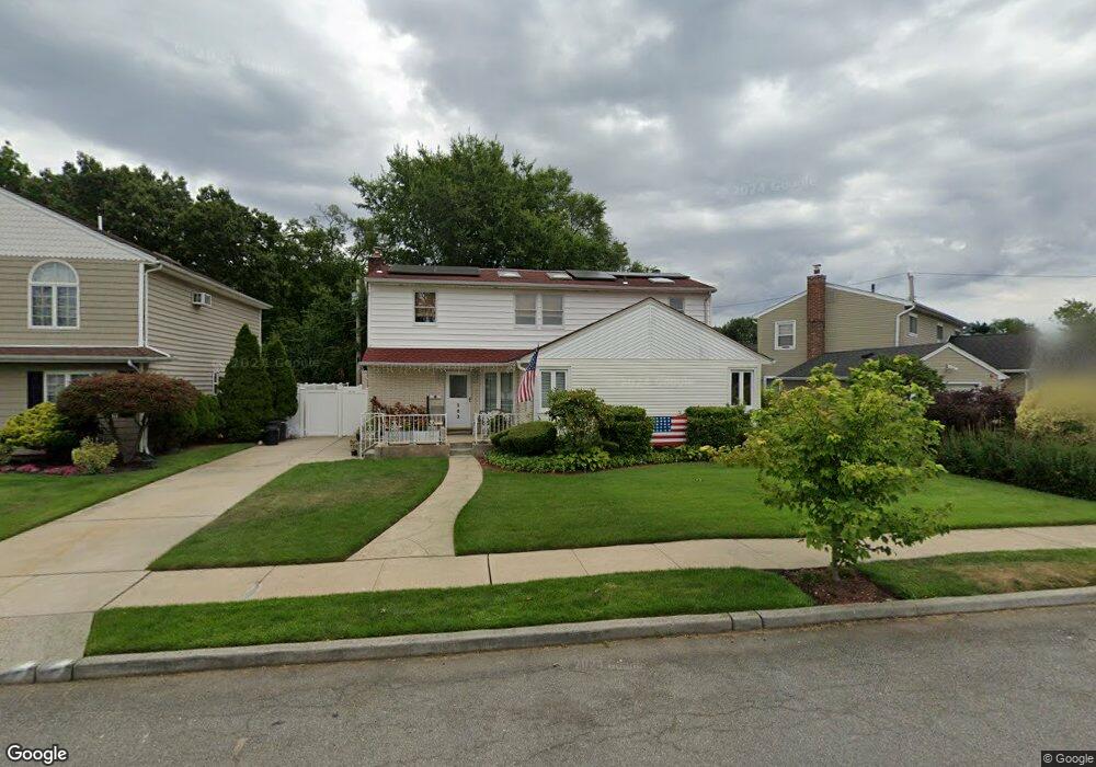
503 Lawrence Rd West Hempstead, NY 11552
Estimated Value: $865,000 - $879,944
Studio
2
Baths
2,016
Sq Ft
$433/Sq Ft
Est. Value
About This Home
This home is located at 503 Lawrence Rd, West Hempstead, NY 11552 and is currently estimated at $872,472, approximately $432 per square foot. 503 Lawrence Rd is a home located in Nassau County with nearby schools including Hebrew Academy of Nassau County (HANC).
Ownership History
Date
Name
Owned For
Owner Type
Purchase Details
Closed on
Jun 14, 2024
Sold by
Mateo Carlos and Mateo Michele
Bought by
Bald Howard Reeven and Bald Sheri Ellen
Current Estimated Value
Purchase Details
Closed on
Dec 22, 2021
Sold by
Mateo Michele and Mateo Daxter
Bought by
Mateo Carlos and Mateo Michele
Purchase Details
Closed on
Mar 13, 2013
Sold by
Mateo Carlos and Mateos Michele
Bought by
Mateo Michele and Mateo Daxter
Create a Home Valuation Report for This Property
The Home Valuation Report is an in-depth analysis detailing your home's value as well as a comparison with similar homes in the area
Home Values in the Area
Average Home Value in this Area
Purchase History
| Date | Buyer | Sale Price | Title Company |
|---|---|---|---|
| Bald Howard Reeven | $850,000 | New York Title Research Corp | |
| Bald Howard Reeven | $850,000 | New York Title Research Corp | |
| Bald Howard Reeven | $850,000 | New York Title Research Corp | |
| Mateo Carlos | -- | New York Title | |
| Mateo Carlos | -- | New York Title | |
| Mateo Carlos | -- | New York Title | |
| Mateo Carlos | -- | New York Title | |
| Mateo Michele | -- | -- | |
| Mateo Michele | -- | -- | |
| Mateo Michele | -- | -- |
Source: Public Records
Tax History
| Year | Tax Paid | Tax Assessment Tax Assessment Total Assessment is a certain percentage of the fair market value that is determined by local assessors to be the total taxable value of land and additions on the property. | Land | Improvement |
|---|---|---|---|---|
| 2025 | $11,442 | $548 | $246 | $302 |
| 2024 | $4,698 | $545 | $244 | $301 |
| 2023 | $11,138 | $595 | $267 | $328 |
| 2022 | $11,138 | $580 | $260 | $320 |
| 2021 | $13,095 | $595 | $267 | $328 |
| 2020 | $9,181 | $653 | $437 | $216 |
| 2019 | $3,661 | $653 | $437 | $216 |
| 2018 | $3,471 | $653 | $0 | $0 |
| 2017 | $4,738 | $694 | $413 | $281 |
| 2016 | $8,268 | $735 | $393 | $342 |
| 2015 | $3,688 | $776 | $415 | $361 |
| 2014 | $3,688 | $776 | $415 | $361 |
| 2013 | $3,629 | $817 | $437 | $380 |
Source: Public Records
Map
Nearby Homes
- 350 Paul Place
- 550 Nassau Blvd
- 708 Anderson Ave
- 575 Hawthorne St
- 27 Richard St
- 738 Sprague Ave
- 303 Nassau Blvd
- 635 Hempstead Ave
- 590 Langley Ave
- 618 Wall St
- 249 Grange St
- 232 Ribbon St
- 660 Hewlett St
- 734 Berry Ct
- 912 Oaks Dr
- 597 Seminole Rd
- 292 Madison St
- 824 Lawrence Ct
- 771 Maple Place
- 837 Cleveland St
- 515 Lawrence Rd
- 497 Lawrence Rd
- 491 Lawrence Rd
- 596 Buxton Ave
- 543 Lawrence Rd
- 508 Lawrence Rd
- 502 Lawrence Rd
- 590 Buxton Ave
- 514 Lawrence Rd
- 496 Lawrence Rd
- 584 Buxton Ave
- 485 Lawrence Rd
- 520 Lawrence Rd
- 490 Lawrence Rd
- 544 Lawrence Rd
- 578 Buxton Ave
- 505 Dogwood Ave
- 509 Dogwood Ave
- 479 Lawrence Rd
- 499 Dogwood Ave
Your Personal Tour Guide
Ask me questions while you tour the home.