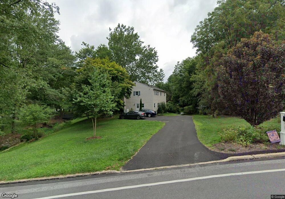
503 Mackenzie Dr West Chester, PA 19380
Estimated Value: $677,594 - $770,000
5
Beds
3
Baths
2,372
Sq Ft
$307/Sq Ft
Est. Value
About This Home
This home is located at 503 Mackenzie Dr, West Chester, PA 19380 and is currently estimated at $727,649, approximately $306 per square foot. 503 Mackenzie Dr is a home located in Chester County with nearby schools including East Bradford Elementary School, E.N. Peirce Middle School, and Henderson High School.
Ownership History
Date
Name
Owned For
Owner Type
Purchase Details
Closed on
Nov 17, 1993
Sold by
Roach William A and Roach Diane S
Bought by
Deminski Michael P and Deminski Lynn B
Current Estimated Value
Home Financials for this Owner
Home Financials are based on the most recent Mortgage that was taken out on this home.
Original Mortgage
$159,900
Interest Rate
6.75%
Create a Home Valuation Report for This Property
The Home Valuation Report is an in-depth analysis detailing your home's value as well as a comparison with similar homes in the area
Home Values in the Area
Average Home Value in this Area
Purchase History
| Date | Buyer | Sale Price | Title Company |
|---|---|---|---|
| Deminski Michael P | $199,900 | -- |
Source: Public Records
Mortgage History
| Date | Status | Borrower | Loan Amount |
|---|---|---|---|
| Previous Owner | Deminski Michael P | $159,900 |
Source: Public Records
Tax History Compared to Growth
Tax History
| Year | Tax Paid | Tax Assessment Tax Assessment Total Assessment is a certain percentage of the fair market value that is determined by local assessors to be the total taxable value of land and additions on the property. | Land | Improvement |
|---|---|---|---|---|
| 2025 | $5,358 | $184,830 | $48,000 | $136,830 |
| 2024 | $5,358 | $184,830 | $48,000 | $136,830 |
| 2023 | $5,358 | $184,830 | $48,000 | $136,830 |
| 2022 | $5,288 | $184,830 | $48,000 | $136,830 |
| 2021 | $5,215 | $184,830 | $48,000 | $136,830 |
| 2020 | $5,181 | $184,830 | $48,000 | $136,830 |
| 2019 | $5,109 | $184,830 | $48,000 | $136,830 |
| 2018 | $5,000 | $184,830 | $48,000 | $136,830 |
| 2017 | $4,892 | $184,830 | $48,000 | $136,830 |
| 2016 | $3,987 | $184,830 | $48,000 | $136,830 |
| 2015 | $3,987 | $184,830 | $48,000 | $136,830 |
| 2014 | $3,987 | $184,830 | $48,000 | $136,830 |
Source: Public Records
Map
Nearby Homes
- 4 Amanda Ln
- Lot 1 Susan Dr
- 1280 Cardinal Ave
- 1252 Memory Ln
- 530 Legion Dr
- 479 Douglas Dr
- 1430 Grove Ave
- 48 Sheffield Ln
- 1432 Grove Ave
- 112 Crosspointe Dr
- 510 Pine Needle Dr
- 806 Downingtown Pike
- 306 Greenhill Rd
- 1500 Cardiff Terrace
- 1354 Old Pottstown Pike
- 456 Cardigan Terrace Unit 456
- 1402 Redwood Ct Unit 57
- 81 Four Leaf Dr
- 415 Anglesey Terrace
- 1405 Gorky Ln
- 501 Mackenzie Dr
- 560 Grubbs Mill Rd
- 500 Sunset Hollow Rd
- 419 Sunset Hollow Rd
- 1166 Macpherson Dr
- 556 Grubbs Mill Rd
- 1168 Macpherson Dr
- 440 Mackenzie Dr
- 520 Sunset Hollow Rd
- 1163 Macpherson Dr
- 415 Sunset Hollow Rd
- 1167 Macpherson Dr
- 430 Mackenzie Dr
- 5 Amanda Ln
- 411 Sunset Hollow Rd
- 522 Sunset Hollow Rd
- 520 Mackenzie Dr
- 421 Mackenzie Dr
- 6 Amanda Ln
- 554 Grubbs Mill Rd