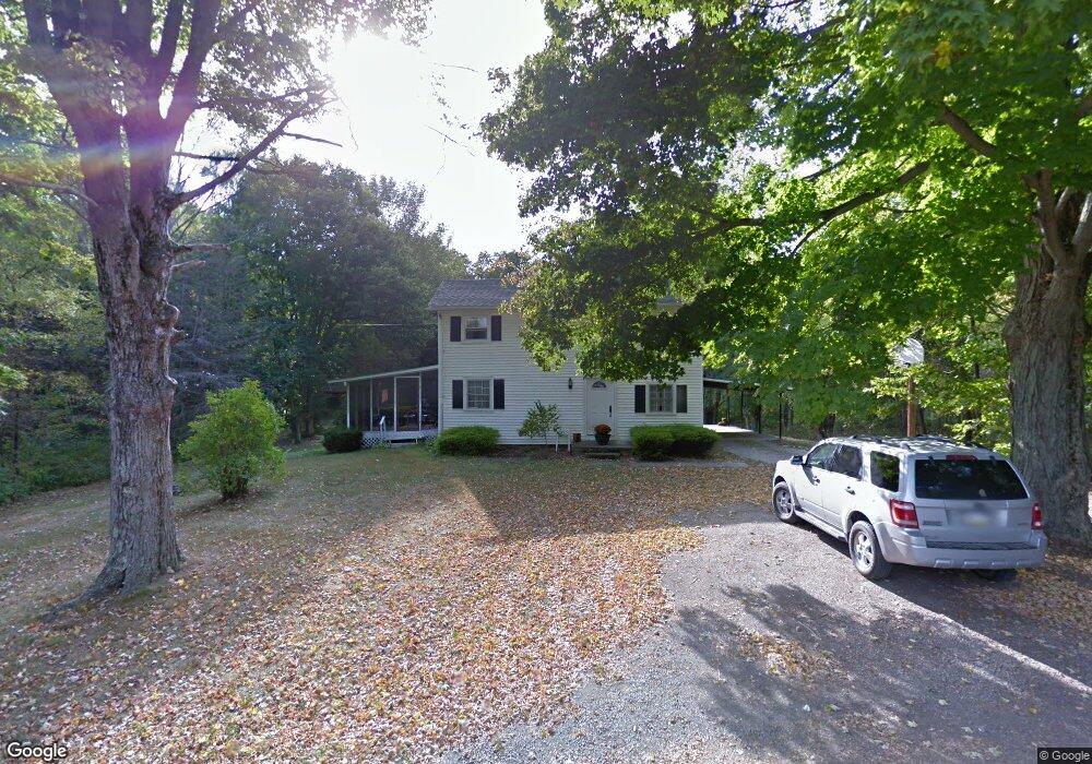
503 N Minnequa Ave Canton, PA 17724
Estimated Value: $157,834 - $188,000
4
Beds
2
Baths
2,220
Sq Ft
$80/Sq Ft
Est. Value
About This Home
This home is located at 503 N Minnequa Ave, Canton, PA 17724 and is currently estimated at $176,709, approximately $79 per square foot. 503 N Minnequa Ave is a home located in Bradford County with nearby schools including Canton Area Elementary School and Canton Junior/Senior High School.
Ownership History
Date
Name
Owned For
Owner Type
Purchase Details
Closed on
Jul 31, 2017
Sold by
Herman Adam M and Herman Andrea E
Bought by
Bagley Chad L
Current Estimated Value
Purchase Details
Closed on
Aug 10, 2011
Sold by
Williams Kenneth S and Williams Barbara P
Bought by
Herman Adam M and Herman Andrea E
Home Financials for this Owner
Home Financials are based on the most recent Mortgage that was taken out on this home.
Original Mortgage
$125,800
Interest Rate
3.68%
Mortgage Type
New Conventional
Create a Home Valuation Report for This Property
The Home Valuation Report is an in-depth analysis detailing your home's value as well as a comparison with similar homes in the area
Home Values in the Area
Average Home Value in this Area
Purchase History
| Date | Buyer | Sale Price | Title Company |
|---|---|---|---|
| Bagley Chad L | $145,000 | None Available | |
| Herman Adam M | $148,000 | New York Bankers Title Agenc |
Source: Public Records
Mortgage History
| Date | Status | Borrower | Loan Amount |
|---|---|---|---|
| Previous Owner | Herman Adam M | $125,800 |
Source: Public Records
Tax History Compared to Growth
Tax History
| Year | Tax Paid | Tax Assessment Tax Assessment Total Assessment is a certain percentage of the fair market value that is determined by local assessors to be the total taxable value of land and additions on the property. | Land | Improvement |
|---|---|---|---|---|
| 2025 | $2,086 | $30,400 | $0 | $0 |
| 2024 | $1,959 | $30,400 | $0 | $0 |
| 2023 | $1,959 | $30,400 | $0 | $0 |
| 2022 | $1,957 | $30,400 | $0 | $0 |
| 2021 | $1,950 | $30,400 | $0 | $0 |
| 2020 | $1,932 | $30,400 | $0 | $0 |
| 2019 | $1,930 | $30,400 | $0 | $0 |
| 2018 | $1,877 | $30,400 | $0 | $0 |
| 2017 | $1,857 | $30,400 | $0 | $0 |
| 2016 | -- | $30,200 | $0 | $0 |
| 2015 | -- | $30,200 | $0 | $0 |
| 2014 | $752 | $30,200 | $0 | $0 |
Source: Public Records
Map
Nearby Homes
- 386 Troy St
- 290 Troy St
- 0 Upper Mountain Rd
- 85 N Minnequa Ave
- 127 Troy St
- 94 N Center St
- Upper Mountain Rd Lot Unit WP001
- 63 Brann St
- 108 S Washington St
- 55 Clinton St
- 49-51 T-329
- 19 Lovell Ln
- 374 S Minnequa Ave
- 118 E South Ave
- 1616 W Union St
- 1616 W Union Rd
- 14751 Route 14
- 417 Furman Rd
- 7129 Route 14
- 1751 Douglas Rd
- 492 N Minnequa Ave
- 434 N Minnequa Ave
- 532 N Center St
- 490 N Center St
- 486 N Center St
- 620 N Center St
- 545 N Center St
- 422 N Minnequa Ave
- 173 N Center St
- 525 N Center St
- 464 N Center St
- 515 N Center St
- 652 N Center St
- 411 N Minnequa Ave
- 503 N Center St
- 599 N Center St
- 360 N Minnequa Ave
- 442 N Center St
- 477 N Center St
- 416 N Center St