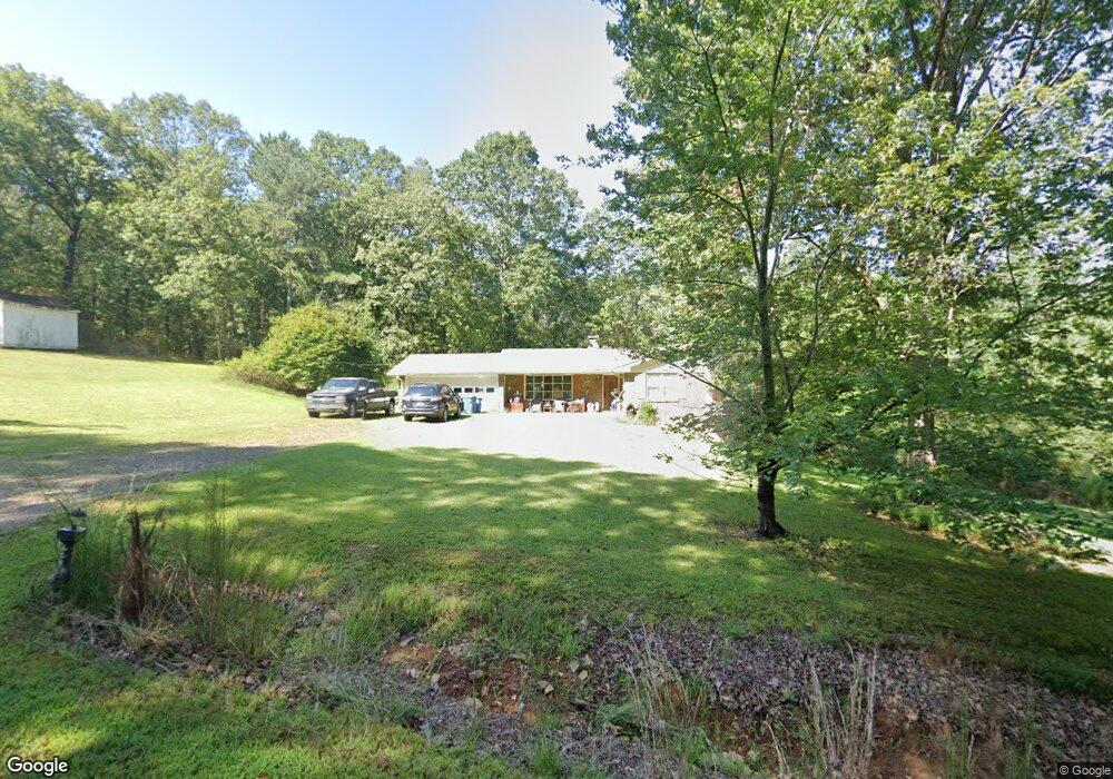
503 Old Freeman Mill Rd Dacula, GA 30019
Estimated Value: $233,000 - $345,000
3
Beds
2
Baths
1,384
Sq Ft
$217/Sq Ft
Est. Value
About This Home
This home is located at 503 Old Freeman Mill Rd, Dacula, GA 30019 and is currently estimated at $299,800, approximately $216 per square foot. 503 Old Freeman Mill Rd is a home located in Gwinnett County with nearby schools including Dacula Elementary School, Dacula Middle School, and Dacula High School.
Ownership History
Date
Name
Owned For
Owner Type
Purchase Details
Closed on
Oct 13, 1997
Sold by
Morgan Thomas B
Bought by
Nash Jacqueline M and Nash Robert
Current Estimated Value
Home Financials for this Owner
Home Financials are based on the most recent Mortgage that was taken out on this home.
Original Mortgage
$85,500
Outstanding Balance
$12,827
Interest Rate
7.55%
Mortgage Type
New Conventional
Estimated Equity
$286,973
Purchase Details
Closed on
Sep 30, 1993
Sold by
Nash Robert T Alice A
Bought by
Morgan Thomas B Jill
Create a Home Valuation Report for This Property
The Home Valuation Report is an in-depth analysis detailing your home's value as well as a comparison with similar homes in the area
Home Values in the Area
Average Home Value in this Area
Purchase History
| Date | Buyer | Sale Price | Title Company |
|---|---|---|---|
| Nash Jacqueline M | $90,000 | -- | |
| Morgan Thomas B Jill | $65,000 | -- |
Source: Public Records
Mortgage History
| Date | Status | Borrower | Loan Amount |
|---|---|---|---|
| Open | Nash Jacqueline M | $85,500 | |
| Closed | Morgan Thomas B Jill | -- |
Source: Public Records
Tax History
| Year | Tax Paid | Tax Assessment Tax Assessment Total Assessment is a certain percentage of the fair market value that is determined by local assessors to be the total taxable value of land and additions on the property. | Land | Improvement |
|---|---|---|---|---|
| 2025 | $400 | $61,600 | $11,600 | $50,000 |
| 2024 | $3,259 | $95,360 | $23,960 | $71,400 |
| 2023 | $3,259 | $95,360 | $23,960 | $71,400 |
| 2022 | $2,686 | $66,120 | $14,360 | $51,760 |
| 2021 | $2,493 | $66,120 | $14,360 | $51,760 |
| 2020 | $2,507 | $66,120 | $14,360 | $51,760 |
| 2019 | $1,779 | $47,560 | $10,720 | $36,840 |
| 2018 | $1,774 | $47,560 | $10,720 | $36,840 |
| 2016 | $1,796 | $47,560 | $10,720 | $36,840 |
| 2015 | $1,815 | $47,560 | $10,720 | $36,840 |
| 2014 | $1,481 | $37,960 | $9,520 | $28,440 |
Source: Public Records
Map
Nearby Homes
- 79 Auburn Crossing Dr
- 182 Depot Landing Rd Unit 65A
- 183 Depot Landing Rd Unit 29A
- 181 Depot Landing Rd Unit 28A
- 179 Depot Landing Rd Unit 27A
- 96 Auburn Crossing Dr
- 177 Depot Landing Rd Unit 26A
- 94 Depot Landing Rd
- 206 Auburn Crossing Dr
- 22 Depot Landing Rd
- 335 Brook Landing Cir
- 339 Brook Landing Cir
- 733 Exchange Mill Place Unit 3
- 369 Brook Landing Cir
- 369 Brook Landing Cir Unit 2A
- 365 Brook Landing Cir Unit 3A
- 365 Brook Landing Cir
- 361 Brook Landing Cir Unit 4A
- 357 Brook Landing Cir Unit 5A
- 357 Brook Landing Cir
- 463 Old Freeman Mill Rd
- 2262 Venable Ln
- 373 Old Freeman Mill Rd
- 324 Old Freeman Mill Rd
- 3294 Still Rd
- 3040 Venable Ln
- 595 Old Freeman Mill Rd
- 307 Freemans Mill Rd
- 177 Creekside Bluff Way
- 368 Auburn Station Dr Unit 46A
- 196 Creekside Bluff Way Unit 77
- 196 Creekside Bluff Way
- 507 Oaklawn Park
- 192 Creekside Bluff Way
- 372 Auburn Station Dr Unit 45
- 384 Auburn Station Dr Unit 44
- 390 Auburn Station Dr Unit A
- 360 Auburn Station Dr Unit 48A
- 398 Auburn Station Dr
- 420 Auburn Station Dr Unit 39A
Your Personal Tour Guide
Ask me questions while you tour the home.