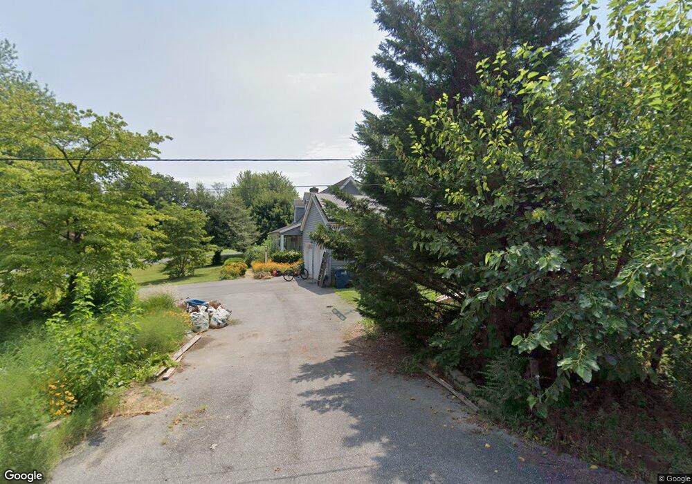
503 Paul Dr Stevensville, MD 21666
Estimated Value: $343,967 - $506,000
--
Bed
1
Bath
988
Sq Ft
$440/Sq Ft
Est. Value
About This Home
This home is located at 503 Paul Dr, Stevensville, MD 21666 and is currently estimated at $434,242, approximately $439 per square foot. 503 Paul Dr is a home located in Queen Anne's County with nearby schools including Matapeake Elementary School, Matapeake Middle School, and Kent Island High School.
Ownership History
Date
Name
Owned For
Owner Type
Purchase Details
Closed on
Aug 4, 2005
Sold by
Frazier Marie A and Frazier George T
Bought by
Frazier George
Current Estimated Value
Home Financials for this Owner
Home Financials are based on the most recent Mortgage that was taken out on this home.
Original Mortgage
$280,000
Outstanding Balance
$145,952
Interest Rate
5.54%
Mortgage Type
New Conventional
Estimated Equity
$288,290
Purchase Details
Closed on
May 1, 2001
Sold by
Frazier Marie A
Bought by
Frazier Marie A and Frazier George
Purchase Details
Closed on
Feb 9, 1999
Sold by
Hofmann Gary H
Bought by
Frazier Marie A
Create a Home Valuation Report for This Property
The Home Valuation Report is an in-depth analysis detailing your home's value as well as a comparison with similar homes in the area
Home Values in the Area
Average Home Value in this Area
Purchase History
| Date | Buyer | Sale Price | Title Company |
|---|---|---|---|
| Frazier George | -- | -- | |
| Frazier Marie A | -- | -- | |
| Frazier Marie A | -- | -- |
Source: Public Records
Mortgage History
| Date | Status | Borrower | Loan Amount |
|---|---|---|---|
| Open | Frazier George | $280,000 | |
| Closed | Frazier Marie A | -- |
Source: Public Records
Tax History Compared to Growth
Tax History
| Year | Tax Paid | Tax Assessment Tax Assessment Total Assessment is a certain percentage of the fair market value that is determined by local assessors to be the total taxable value of land and additions on the property. | Land | Improvement |
|---|---|---|---|---|
| 2025 | $1,542 | $327,900 | $0 | $0 |
| 2024 | $1,626 | $303,300 | $0 | $0 |
| 2023 | $2,625 | $278,700 | $161,000 | $117,700 |
| 2022 | $2,587 | $274,667 | $0 | $0 |
| 2021 | $2,557 | $270,633 | $0 | $0 |
| 2020 | $2,557 | $266,600 | $161,000 | $105,600 |
| 2019 | $2,445 | $254,900 | $0 | $0 |
| 2018 | $2,331 | $243,200 | $0 | $0 |
| 2017 | $2,220 | $231,500 | $0 | $0 |
| 2016 | -- | $231,500 | $0 | $0 |
| 2015 | $966 | $231,500 | $0 | $0 |
| 2014 | $966 | $243,700 | $0 | $0 |
Source: Public Records
Map
Nearby Homes
- 312 William Way
- 320 William Way
- 802 Broadcreek Dr
- 515 Bayside Dr
- 306 Irene Way
- 423 Victoria Way
- 219 Bay City Rd
- 412 Bay City Rd
- 410 Stafford Rd
- 440 Moorings Cir Unit 85
- 509 Moorings Cir Unit 249
- 298 Moorings Cir
- 312 Topside Dr Unit 223
- 1000 Chesapeake Dr
- 349 Topside Dr
- 821 Moorings Cir Unit 144
- 0 Sunset Wharf Lot D-3 Unit MDQA2010280
- 858 Moorings Cir Unit 11
- 0 Sunset Wharf Lot D-1 Unit MDQA2010276
- 912 Moorings Cir Unit 8
- 505 Paul Dr
- 513 Broadcreek Dr
- 507 Paul Dr
- 509 Broadcreek Dr
- 509 Paul Dr
- 506 Paul Dr
- 507 Broadcreek Dr
- 508 Paul Dr
- 601 Broadcreek Dr
- 511 Paul Dr
- 304 Chenowith Dr
- 524 Broadcreek Dr
- 510 Paul Dr
- 520 Broadcreek Dr
- 507 Buckingham Dr
- 505 Broadcreek Dr
- 526 Broadcreek Dr
- 512 Paul Dr
- 528 Broadcreek Dr
- 503 Broadcreek Dr