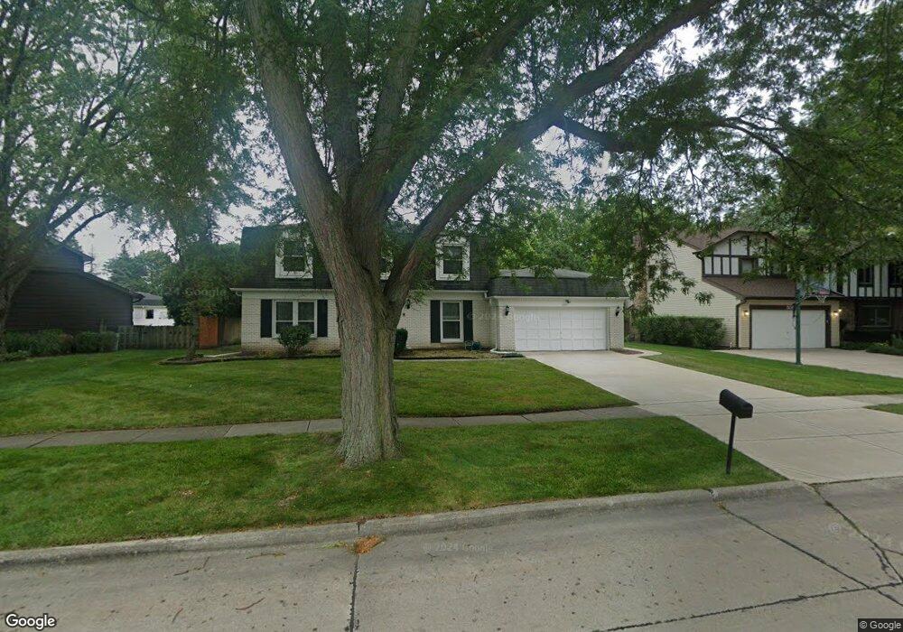
503 Roosevelt Dr Libertyville, IL 60048
Cambridge-Liberty Village NeighborhoodEstimated Value: $423,000 - $695,000
--
Bed
3
Baths
2,656
Sq Ft
$226/Sq Ft
Est. Value
About This Home
This home is located at 503 Roosevelt Dr, Libertyville, IL 60048 and is currently estimated at $600,798, approximately $226 per square foot. 503 Roosevelt Dr is a home located in Lake County with nearby schools including Rockland Elementary School, Highland Middle School, and Libertyville High School.
Ownership History
Date
Name
Owned For
Owner Type
Purchase Details
Closed on
Jul 11, 2025
Sold by
Sheriff Of Lake County Illinois
Bought by
Chicago Asset Management Llc
Current Estimated Value
Purchase Details
Closed on
Dec 31, 2008
Sold by
Bhatia Chandrakant R and Bhatia Shashi C
Bought by
Bhatia Chandrakant R and Bhatia Shashi C
Create a Home Valuation Report for This Property
The Home Valuation Report is an in-depth analysis detailing your home's value as well as a comparison with similar homes in the area
Home Values in the Area
Average Home Value in this Area
Purchase History
| Date | Buyer | Sale Price | Title Company |
|---|---|---|---|
| Chicago Asset Management Llc | $417,000 | None Listed On Document | |
| Bhatia Chandrakant R | -- | None Available |
Source: Public Records
Tax History Compared to Growth
Tax History
| Year | Tax Paid | Tax Assessment Tax Assessment Total Assessment is a certain percentage of the fair market value that is determined by local assessors to be the total taxable value of land and additions on the property. | Land | Improvement |
|---|---|---|---|---|
| 2024 | $12,609 | $187,096 | $66,439 | $120,657 |
| 2023 | $12,609 | $172,566 | $61,279 | $111,287 |
| 2022 | $12,470 | $166,916 | $58,900 | $108,016 |
| 2021 | $11,996 | $163,323 | $57,632 | $105,691 |
| 2020 | $11,539 | $160,577 | $56,663 | $103,914 |
| 2019 | $11,253 | $159,050 | $56,124 | $102,926 |
| 2018 | $11,551 | $168,335 | $55,896 | $112,439 |
| 2017 | $11,384 | $163,020 | $54,131 | $108,889 |
| 2016 | $10,987 | $154,566 | $51,324 | $103,242 |
| 2015 | $10,861 | $144,468 | $47,971 | $96,497 |
| 2014 | $9,647 | $129,612 | $45,073 | $84,539 |
| 2012 | $9,713 | $128,173 | $44,573 | $83,600 |
Source: Public Records
Map
Nearby Homes
- 747 Garfield Ave Unit C
- 777 Garfield Ave Unit A
- 851 Garfield Ave Unit C
- 323 W Golf Rd
- 0 Ames St
- 1017 Juniper Pkwy
- 423 Ames St
- 533 Drake St
- 164 W Golf Rd Unit A
- 501 Hemlock Ln
- 1754 Glenmore Rd
- 308 Mckinley Ave
- 426 S Milwaukee Ave
- 551 W Park Ave Unit E
- 2245 Hazeltime Dr
- 1137 Pine Tree Ln
- 401 S 4th Ave
- 1969 Royal Birkdale Dr
- 1330 W Park Ave
- 212 Elm Ct
- 505 Roosevelt Dr
- 627 Garfield Ave
- 506 Fairlawn Ave
- 509 Roosevelt Dr
- 500 Fairlawn Ave
- 510 Fairlawn Ave
- 504 Roosevelt Dr
- 500 Roosevelt Dr
- 506 Roosevelt Dr
- 513 Roosevelt Dr
- 514 Fairlawn Ave
- 510 Roosevelt Dr
- 507 Fairlawn Ave
- 516 Fairlawn Ave
- 515 Roosevelt Dr
- 629 Ames St
- 514 Roosevelt Dr
- 513 Fairlawn Ave
- 625 Ames St
- 505 Fairlawn Ave