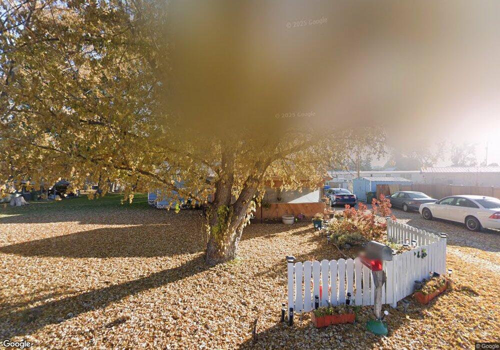
503 S 11th St Payette, ID 83661
Estimated Value: $257,000 - $300,921
2
Beds
1
Bath
1,020
Sq Ft
$270/Sq Ft
Est. Value
About This Home
This home is located at 503 S 11th St, Payette, ID 83661 and is currently estimated at $275,480, approximately $270 per square foot. 503 S 11th St is a home located in Payette County with nearby schools including Payette Primary School, Westside Elementary School, and McCain Middle School.
Ownership History
Date
Name
Owned For
Owner Type
Purchase Details
Closed on
Jul 20, 2005
Sold by
Wilson Rod G
Bought by
Wilson Sharie E
Current Estimated Value
Home Financials for this Owner
Home Financials are based on the most recent Mortgage that was taken out on this home.
Original Mortgage
$3,000
Interest Rate
5.51%
Mortgage Type
Seller Take Back
Purchase Details
Closed on
Jun 6, 2005
Sold by
Guthrie Eugene E
Bought by
Wilson Rod G and Wilson Sharie E
Home Financials for this Owner
Home Financials are based on the most recent Mortgage that was taken out on this home.
Original Mortgage
$3,000
Interest Rate
5.51%
Mortgage Type
Seller Take Back
Create a Home Valuation Report for This Property
The Home Valuation Report is an in-depth analysis detailing your home's value as well as a comparison with similar homes in the area
Home Values in the Area
Average Home Value in this Area
Purchase History
| Date | Buyer | Sale Price | Title Company |
|---|---|---|---|
| Wilson Sharie E | -- | -- | |
| Wilson Rod G | -- | -- |
Source: Public Records
Mortgage History
| Date | Status | Borrower | Loan Amount |
|---|---|---|---|
| Previous Owner | Wilson Rod G | $3,000 |
Source: Public Records
Tax History
| Year | Tax Paid | Tax Assessment Tax Assessment Total Assessment is a certain percentage of the fair market value that is determined by local assessors to be the total taxable value of land and additions on the property. | Land | Improvement |
|---|---|---|---|---|
| 2025 | $2,270 | $299,032 | $207,300 | $91,732 |
| 2024 | $2,059 | $272,576 | $176,900 | $95,676 |
| 2023 | $1,602 | $202,542 | $106,200 | $96,342 |
| 2022 | $1,647 | $202,542 | $106,200 | $96,342 |
| 2021 | $1,595 | $144,682 | $61,140 | $83,542 |
| 2020 | $1,360 | $108,724 | $39,431 | $69,293 |
| 2017 | $1,218 | $0 | $0 | $0 |
| 2016 | $982 | $0 | $0 | $0 |
| 2015 | $1,073 | $51,260 | $30,374 | $20,886 |
| 2014 | $1,066 | $43,700 | $30,380 | $13,320 |
Source: Public Records
Map
Nearby Homes
- 414 S 11th St
- tbd 3rd Ave S
- TBD S 14th St
- 684 S Park St
- 1440 Chaparral Way
- 3513 Highway 52
- TBD Hwy 95
- TBD Little Willow Rd
- 313 Sunrise Dr
- 335 S 20th St
- TBD Consolidated Lot On Perry Dr
- 309 N 9th St Unit Blk 1 Lot 5
- L18-B6 Perry Dr
- L11-B6 Perry Dr
- 311 N 9th St
- 311 N 9th St Unit Blk 1 Lot 4
- 313 N 9th St Unit Blk 1 Lot 3
- 315 N 9th St
- 315 N 9th St Unit Blk 1 Lot 2
- 129 Country Lane Loop
Your Personal Tour Guide
Ask me questions while you tour the home.