Estimated Value: $280,000 - $322,000
3
Beds
2
Baths
1,341
Sq Ft
$222/Sq Ft
Est. Value
About This Home
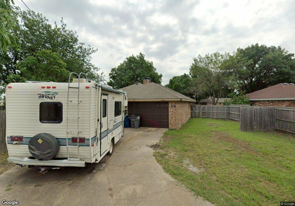
This home is located at 503 Sheffield Dr, Wylie, TX 75098 and is currently estimated at $297,773, approximately $222 per square foot. 503 Sheffield Dr is a home located in Collin County with nearby schools including P M Akin Elementary School, AB Harrison Intermediate School, and Grady Burnett J High School.
Ownership History
Date
Name
Owned For
Owner Type
Purchase Details
Closed on
Jun 1, 2015
Sold by
Brown Neil J and Brown Deborah K
Bought by
Blackford George D and Blackford Diane S
Current Estimated Value
Home Financials for this Owner
Home Financials are based on the most recent Mortgage that was taken out on this home.
Original Mortgage
$120,000
Interest Rate
3.7%
Mortgage Type
Purchase Money Mortgage
Create a Home Valuation Report for This Property
The Home Valuation Report is an in-depth analysis detailing your home's value as well as a comparison with similar homes in the area
Home Values in the Area
Average Home Value in this Area
Purchase History
| Date | Buyer | Sale Price | Title Company |
|---|---|---|---|
| Blackford George D | -- | Attorney |
Source: Public Records
Mortgage History
| Date | Status | Borrower | Loan Amount |
|---|---|---|---|
| Closed | Blackford George D | $120,000 |
Source: Public Records
Tax History Compared to Growth
Tax History
| Year | Tax Paid | Tax Assessment Tax Assessment Total Assessment is a certain percentage of the fair market value that is determined by local assessors to be the total taxable value of land and additions on the property. | Land | Improvement |
|---|---|---|---|---|
| 2025 | $5,313 | $262,610 | $88,825 | $173,785 |
| 2024 | $5,313 | $288,457 | $88,825 | $180,175 |
| 2023 | $5,313 | $269,000 | $88,825 | $180,175 |
| 2022 | $5,812 | $262,000 | $73,150 | $188,850 |
| 2021 | $4,995 | $212,301 | $57,475 | $154,826 |
| 2020 | $5,147 | $207,292 | $47,025 | $160,267 |
| 2019 | $5,000 | $190,251 | $47,025 | $145,352 |
| 2018 | $4,658 | $172,955 | $47,025 | $143,839 |
| 2017 | $4,234 | $157,232 | $41,800 | $115,432 |
| 2016 | $4,107 | $147,823 | $31,350 | $116,473 |
| 2015 | $2,911 | $133,520 | $31,350 | $102,170 |
| 2014 | $2,911 | $113,121 | $0 | $0 |
Source: Public Records
Map
Nearby Homes
- 1312 Wyndham Dr
- 1308 London Dr
- 107 Windy Knoll Ln
- 2801-3 N State Highway 78
- 2801-1 N State Highway 78
- 702 Lynda Ln
- 213 N West A Allen Blvd
- 702 Ireland Way
- 1056 Fairview Dr
- 700 Ireland Way
- 704 Ireland Way
- 1115 Nighthawk Dr
- 310 Hawthorn Dr
- 304 Hawthorn Dr
- 1209 Surrey Cir
- 207 Gatwick Ct
- 209 Duck Blind Ave
- 2800 Gold Hill Dr
- 312 Maltese Cir
- 2002 Trinity Ln
- 505 Sheffield Dr
- 501 Sheffield Dr
- 1201 Devonshire Ln
- 407 Sheffield Dr
- TBD E Stone Rd
- LOT 3 Aztec Trail
- LOT 2 Aztec Trail
- 00 Alanis Ballard
- Lot37A Carrie Ln
- Tract1 Carrie Ln
- 000 Maxwell Creek Rd
- 2818 Raven Ct
- 2826 Raven Ct
- 1323 Spirit Trail
- 1203 Devonshire Ln
- 405 Sheffield Dr
- 1200 Devonshire Ln
- 1205 Devonshire Ln
- 1202 Devonshire Ln
- 403 Sheffield Dr