503 State Route 1002 Tunkhannock, PA 18657
Estimated Value: $337,000 - $683,000
4
Beds
3
Baths
2,970
Sq Ft
$183/Sq Ft
Est. Value
About This Home
This home is located at 503 State Route 1002, Tunkhannock, PA 18657 and is currently estimated at $542,371, approximately $182 per square foot. 503 State Route 1002 is a home located in Wyoming County with nearby schools including Tunkhannock Middle School and Tunkhannock High School.
Ownership History
Date
Name
Owned For
Owner Type
Purchase Details
Closed on
Apr 17, 2014
Sold by
Howard Jonathan W and Howard Margaret Mary
Bought by
Howard Jonathan W and Howard Margaret Mary
Current Estimated Value
Home Financials for this Owner
Home Financials are based on the most recent Mortgage that was taken out on this home.
Original Mortgage
$130,000
Interest Rate
4.26%
Mortgage Type
New Conventional
Create a Home Valuation Report for This Property
The Home Valuation Report is an in-depth analysis detailing your home's value as well as a comparison with similar homes in the area
Home Values in the Area
Average Home Value in this Area
Purchase History
| Date | Buyer | Sale Price | Title Company |
|---|---|---|---|
| Howard Jonathan W | -- | None Available |
Source: Public Records
Mortgage History
| Date | Status | Borrower | Loan Amount |
|---|---|---|---|
| Closed | Howard Jonathan W | $130,000 |
Source: Public Records
Tax History Compared to Growth
Tax History
| Year | Tax Paid | Tax Assessment Tax Assessment Total Assessment is a certain percentage of the fair market value that is determined by local assessors to be the total taxable value of land and additions on the property. | Land | Improvement |
|---|---|---|---|---|
| 2025 | $7,706 | $73,750 | $10,055 | $63,695 |
| 2024 | $8,544 | $73,750 | $10,055 | $63,695 |
| 2023 | $7,639 | $73,750 | $10,055 | $63,695 |
| 2022 | $8,302 | $73,240 | $10,055 | $63,185 |
| 2021 | $8,138 | $80,705 | $12,135 | $68,570 |
| 2020 | $8,138 | $80,705 | $12,135 | $68,570 |
| 2019 | $8,785 | $80,705 | $12,135 | $68,570 |
| 2018 | $7,734 | $80,705 | $12,135 | $68,570 |
| 2017 | $7,624 | $73,415 | $4,845 | $68,570 |
| 2016 | -- | $73,415 | $4,845 | $68,570 |
| 2015 | -- | $73,415 | $4,845 | $68,570 |
| 2014 | -- | $74,720 | $4,845 | $69,875 |
Source: Public Records
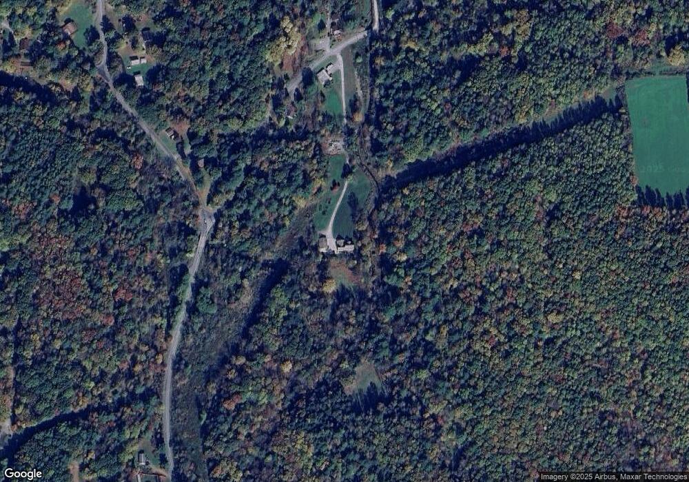
Map
Nearby Homes
- 9 Marcy Rd
- 22 Mount Airy Estate
- 32 Shore Dr
- 0 Sr 29n Unit GSBSC256186
- 1 Pennsylvania 29
- 5 Fieldcrest Dr
- 828 W Avery Station Rd
- 7 Doran Dr
- 9 Doran Dr
- 0 Dark Hollow Rd Unit GSBSC255658
- 40 Winola Ave
- 1 Sullivan St
- 43 1/2 Mccord St
- 13 Reed St
- 5 E Harrison St
- 28 Pine St
- 1 Ford Dr
- 7 Hollow Crest Rd
- 21 Wyoming Ave
- L77 Eastwoods Rd
- 503 Sr 1002
- 509 Sr 1002
- 508 Billings Mill Rd
- 502 Sr 1002
- 409 Billings Mill Rd
- 405 Billings Mill Rd
- 600 Billings Mill Rd
- 4 Whipporwill Rd
- 9 Cove Rd
- 604 Billings Mill Rd
- 55 Ridge Rd
- 147 Harley Hut Dr
- 133 Harley Hut Dr
- 159 Harley Hut Dr
- 167 Harley Hut Dr
- 6 Marina Dr
- 6 Marina Dr
- 454 Sr 1002
- 19 Cove Rd
- 173 Harley Hut Dr