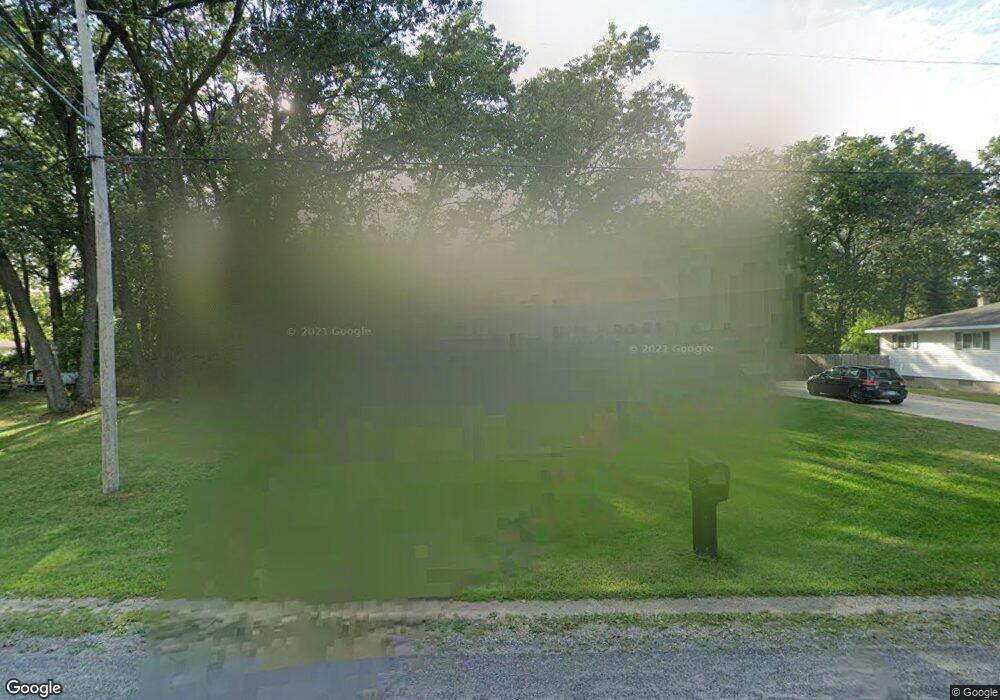
503 Terry St Muskegon, MI 49442
Estimated Value: $235,177 - $281,000
3
Beds
2
Baths
1,300
Sq Ft
$194/Sq Ft
Est. Value
About This Home
This home is located at 503 Terry St, Muskegon, MI 49442 and is currently estimated at $252,294, approximately $194 per square foot. 503 Terry St is a home located in Muskegon County with nearby schools including Orchard View Early Elementary School, Cardinal Elementary School, and Orchard View Middle School.
Ownership History
Date
Name
Owned For
Owner Type
Purchase Details
Closed on
Apr 29, 2010
Sold by
Community Shores Bank
Bought by
Kroening John F and Kroening Kelley
Current Estimated Value
Home Financials for this Owner
Home Financials are based on the most recent Mortgage that was taken out on this home.
Original Mortgage
$54,985
Outstanding Balance
$37,427
Interest Rate
5.37%
Mortgage Type
FHA
Estimated Equity
$214,867
Purchase Details
Closed on
Mar 20, 2009
Sold by
Gelderloos Virginia
Bought by
Community Shores Bank
Create a Home Valuation Report for This Property
The Home Valuation Report is an in-depth analysis detailing your home's value as well as a comparison with similar homes in the area
Home Values in the Area
Average Home Value in this Area
Purchase History
| Date | Buyer | Sale Price | Title Company |
|---|---|---|---|
| Kroening John F | $56,000 | Chicago Title | |
| Community Shores Bank | $81,075 | None Available |
Source: Public Records
Mortgage History
| Date | Status | Borrower | Loan Amount |
|---|---|---|---|
| Open | Kroening John F | $54,985 |
Source: Public Records
Tax History Compared to Growth
Tax History
| Year | Tax Paid | Tax Assessment Tax Assessment Total Assessment is a certain percentage of the fair market value that is determined by local assessors to be the total taxable value of land and additions on the property. | Land | Improvement |
|---|---|---|---|---|
| 2025 | $1,978 | $103,700 | $0 | $0 |
| 2024 | $578 | $95,800 | $0 | $0 |
| 2023 | $553 | $79,100 | $0 | $0 |
| 2022 | $2,419 | $68,200 | $0 | $0 |
| 2021 | $2,299 | $60,900 | $0 | $0 |
| 2020 | $1,887 | $55,300 | $0 | $0 |
| 2019 | $1,743 | $48,300 | $0 | $0 |
| 2018 | $1,586 | $46,800 | $0 | $0 |
| 2017 | $1,554 | $46,300 | $0 | $0 |
| 2016 | $456 | $42,900 | $0 | $0 |
| 2015 | -- | $40,300 | $0 | $0 |
| 2014 | -- | $40,700 | $0 | $0 |
| 2013 | -- | $37,700 | $0 | $0 |
Source: Public Records
Map
Nearby Homes
- 2756 Marquette Ave
- 415 S Densmore St
- 470 S Sheridan Dr
- 517 S Sheridan Dr
- 2369 James Ave
- 687 S Sheridan Dr
- 123 Darwin Dr
- 2916 E Apple Ave
- 16 S Densmore St
- 3172 Hall Rd
- 30 S Sheridan Dr
- 3075 Lenore Ave
- 3186 E Apple Ave
- 3110 Meyers Dr
- 2028 Marcoux Ave
- 936 West St
- 2770 Macarthur Rd
- 960 Carlton St
- 947 Carlton St
- 1190 Center St