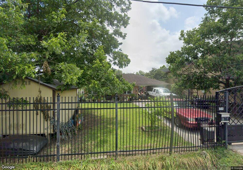
503 Thornton Rd Houston, TX 77018
Independence Heights NeighborhoodEstimated Value: $391,000 - $562,513
5
Beds
2
Baths
1,503
Sq Ft
$323/Sq Ft
Est. Value
About This Home
This home is located at 503 Thornton Rd, Houston, TX 77018 and is currently estimated at $485,628, approximately $323 per square foot. 503 Thornton Rd is a home located in Harris County with nearby schools including Kennedy Elementary School, Williams Middle, and Booker T Washington Sr High.
Ownership History
Date
Name
Owned For
Owner Type
Purchase Details
Closed on
Feb 10, 2010
Sold by
Schneider Grace and Schneider Grace L
Bought by
Moyeda Geronimo
Current Estimated Value
Home Financials for this Owner
Home Financials are based on the most recent Mortgage that was taken out on this home.
Original Mortgage
$79,900
Interest Rate
4.41%
Mortgage Type
Seller Take Back
Create a Home Valuation Report for This Property
The Home Valuation Report is an in-depth analysis detailing your home's value as well as a comparison with similar homes in the area
Home Values in the Area
Average Home Value in this Area
Purchase History
| Date | Buyer | Sale Price | Title Company |
|---|---|---|---|
| Moyeda Geronimo | -- | American Title |
Source: Public Records
Mortgage History
| Date | Status | Borrower | Loan Amount |
|---|---|---|---|
| Closed | Moyeda Geronimo | $79,900 |
Source: Public Records
Tax History Compared to Growth
Tax History
| Year | Tax Paid | Tax Assessment Tax Assessment Total Assessment is a certain percentage of the fair market value that is determined by local assessors to be the total taxable value of land and additions on the property. | Land | Improvement |
|---|---|---|---|---|
| 2025 | $2,271 | $567,983 | $510,185 | $57,798 |
| 2024 | $2,271 | $520,000 | $477,620 | $42,380 |
| 2023 | $2,271 | $539,083 | $477,620 | $61,463 |
| 2022 | $3,407 | $476,083 | $434,200 | $41,883 |
| 2021 | $3,278 | $325,695 | $282,230 | $43,465 |
| 2020 | $3,097 | $304,646 | $260,520 | $44,126 |
| 2019 | $6,973 | $275,563 | $217,100 | $58,463 |
| 2018 | $2,969 | $117,322 | $54,263 | $63,059 |
| 2017 | $2,429 | $96,075 | $32,558 | $63,517 |
| 2016 | $2,429 | $96,075 | $32,558 | $63,517 |
| 2015 | $2,200 | $85,596 | $32,558 | $53,038 |
| 2014 | $2,200 | $85,596 | $32,558 | $53,038 |
Source: Public Records
Map
Nearby Homes
- 405 Alvia Run Ln
- 409 Alvia Run Ln
- 4606 Crown Grove Ln
- 4604 Crown Grove Ln
- 413 Sikes St
- 4710 Thornton Villas Ln
- 4707 Thornton Villas Ln
- 407 Sikes St
- 505 Sikes St Unit 770
- 4707 Independence Heights Ln
- 320 Thornton Rd
- 543 Heidrich St
- 416 Fenn St
- 406 Fenn St Unit A
- 4605 Yale St Unit C
- 4605 Yale St Unit A
- 4605 Yale St Unit J
- 401 Fenn St
- 4510 Old Yale St Unit A
- 4702 Thornton Grove
- 505 Thornton Rd
- 417 Thornton Rd Unit 3
- 508 Thornton Rd
- 4702 Independence Heights Ln
- 4704 Independence Heights Ln
- 4706 Independence Heights Ln
- 4620 Crown Grove Ln
- 4618 Crown Grove Ln
- 4616 Crown Grove Ln
- 4703 Independence Heights Ln
- 4606 Crown Grove Ln Unit A1
- 4612 Crown Grove Ln
- 4614 Crown Grove Ln
- 4610 Crown Grove Ln
- 4608 Crown Grove Ln
- 4708 Independence Heights Ln
- 4705 Independence Heights Ln
- 413 Thornton Rd
- 506 Thornton Rd
- 4710 Independence Heights Ln