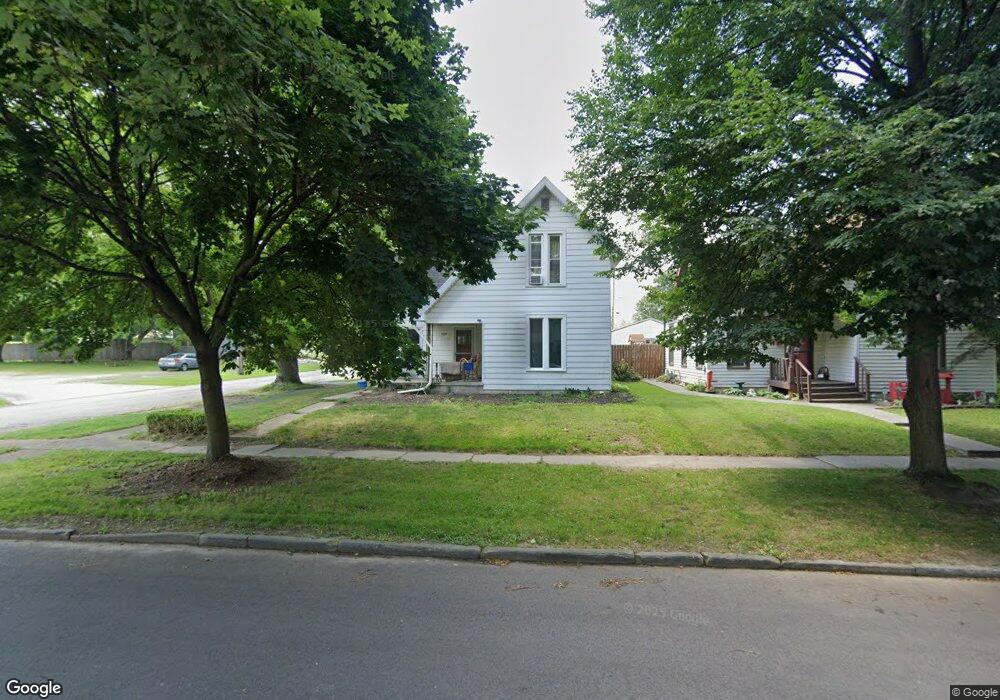
503 W Center St Fostoria, OH 44830
Estimated Value: $110,527 - $153,000
3
Beds
2
Baths
1,168
Sq Ft
$106/Sq Ft
Est. Value
About This Home
This home is located at 503 W Center St, Fostoria, OH 44830 and is currently estimated at $124,132, approximately $106 per square foot. 503 W Center St is a home located in Hancock County with nearby schools including Fostoria Intermediate Elementary School and Fostoria Junior/Senior High School.
Ownership History
Date
Name
Owned For
Owner Type
Purchase Details
Closed on
Feb 28, 2022
Sold by
Oman John D and Oman Deborah A
Bought by
Strausbaugh Ronald L
Current Estimated Value
Home Financials for this Owner
Home Financials are based on the most recent Mortgage that was taken out on this home.
Original Mortgage
$25,793
Interest Rate
5.5%
Mortgage Type
New Conventional
Purchase Details
Closed on
Nov 8, 2013
Sold by
Miller Clara and Miller James L
Bought by
Oman Joan D
Create a Home Valuation Report for This Property
The Home Valuation Report is an in-depth analysis detailing your home's value as well as a comparison with similar homes in the area
Home Values in the Area
Average Home Value in this Area
Purchase History
| Date | Buyer | Sale Price | Title Company |
|---|---|---|---|
| Strausbaugh Ronald L | -- | None Listed On Document | |
| Oman Joan D | $20,000 | Assured Title Agency |
Source: Public Records
Mortgage History
| Date | Status | Borrower | Loan Amount |
|---|---|---|---|
| Previous Owner | Strausbaugh Ronald L | $25,793 |
Source: Public Records
Tax History Compared to Growth
Tax History
| Year | Tax Paid | Tax Assessment Tax Assessment Total Assessment is a certain percentage of the fair market value that is determined by local assessors to be the total taxable value of land and additions on the property. | Land | Improvement |
|---|---|---|---|---|
| 2024 | $1,380 | $27,720 | $2,330 | $25,390 |
| 2023 | $1,377 | $27,720 | $2,330 | $25,390 |
| 2022 | $1,500 | $27,720 | $2,330 | $25,390 |
| 2021 | $1,321 | $22,980 | $2,390 | $20,590 |
| 2020 | $1,327 | $22,980 | $2,390 | $20,590 |
| 2019 | $1,321 | $22,980 | $2,390 | $20,590 |
| 2018 | $1,179 | $19,990 | $2,080 | $17,910 |
| 2017 | $589 | $19,990 | $2,080 | $17,910 |
| 2016 | $1,039 | $19,990 | $2,080 | $17,910 |
| 2015 | $619 | $11,930 | $1,660 | $10,270 |
| 2014 | $619 | $11,930 | $1,660 | $10,270 |
| 2012 | $277 | $14,180 | $1,660 | $12,520 |
Source: Public Records
Map
Nearby Homes
- 509 College Ave
- 634 W Tiffin St
- 348 W South St
- 351 W South St
- 203 N Union St
- 603 N Vine St
- 520 N Union St
- 0 W South Route 12
- 723 N Union St
- 133 E South St
- 461 W Lytle St Unit 43
- 461 W Lytle St Unit 145
- 461 W Lytle St Unit 106
- 220 E High St
- 321 Mcdougal St
- 411 Monticello Dr
- 931 N Union St
- 540 N Poplar St
- 633 Maple St
- 892 N Countyline St
- 105 S Grant St
- 507 W Center St
- 511 W Center St
- 107 S Grant St
- 515 W Center St
- 502 W Center St
- 106 S Grant St
- 456 W Center St
- 508 W Center St
- 521 W Center St
- 521 W Center St
- 111 N Grant St
- 516 W Center St
- 456 W Tiffin St
- 110 N Grant St
- 525 W Center St
- 448 W Center St
- 520 W Center St
- 525 W Center St
- 504 W Tiffin St