503 W New York St Brazoria, TX 77422
Estimated Value: $149,000 - $210,000
--
Bed
5
Baths
1,152
Sq Ft
$156/Sq Ft
Est. Value
About This Home
This home is located at 503 W New York St, Brazoria, TX 77422 and is currently estimated at $179,843, approximately $156 per square foot. 503 W New York St is a home located in Brazoria County.
Ownership History
Date
Name
Owned For
Owner Type
Purchase Details
Closed on
Feb 28, 2025
Sold by
Barton Roger L and Barton Rhonda
Bought by
Schneider Amie Lynn and Schneider Karl Gene
Current Estimated Value
Purchase Details
Closed on
Sep 5, 2003
Sold by
Roye Jerry Wayne and Roye Jo Ann
Bought by
Kaspar Curtis D and Kaspar Deborah A
Home Financials for this Owner
Home Financials are based on the most recent Mortgage that was taken out on this home.
Original Mortgage
$28,800
Interest Rate
6.08%
Mortgage Type
Purchase Money Mortgage
Create a Home Valuation Report for This Property
The Home Valuation Report is an in-depth analysis detailing your home's value as well as a comparison with similar homes in the area
Home Values in the Area
Average Home Value in this Area
Purchase History
| Date | Buyer | Sale Price | Title Company |
|---|---|---|---|
| Schneider Amie Lynn | -- | None Listed On Document | |
| Kaspar Curtis D | -- | Alamo Title Company |
Source: Public Records
Mortgage History
| Date | Status | Borrower | Loan Amount |
|---|---|---|---|
| Previous Owner | Kaspar Curtis D | $28,800 |
Source: Public Records
Tax History Compared to Growth
Tax History
| Year | Tax Paid | Tax Assessment Tax Assessment Total Assessment is a certain percentage of the fair market value that is determined by local assessors to be the total taxable value of land and additions on the property. | Land | Improvement |
|---|---|---|---|---|
| 2025 | $3,261 | $158,260 | $25,200 | $133,060 |
| 2023 | $3,261 | $160,800 | $22,950 | $137,850 |
| 2022 | $3,133 | $138,710 | $20,250 | $118,460 |
| 2021 | $2,864 | $121,520 | $17,550 | $103,970 |
| 2020 | $2,905 | $117,440 | $16,200 | $101,240 |
| 2019 | $2,344 | $91,810 | $12,750 | $79,060 |
| 2018 | $2,716 | $105,800 | $12,600 | $93,200 |
| 2017 | $2,808 | $105,800 | $12,600 | $93,200 |
| 2016 | $2,547 | $95,940 | $10,500 | $85,440 |
| 2015 | $1,950 | $74,130 | $10,500 | $63,630 |
| 2014 | $1,950 | $72,670 | $10,500 | $62,170 |
Source: Public Records
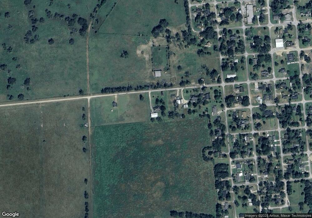
Map
Nearby Homes
- 34654 Fm 521 Rd
- 8922 Fm 521 Rd
- 111 Georgia St
- 1208 S Brooks St
- 0 N Highway 36
- 0 Cr-747a
- TBD Cr-318
- 320 Cr-320
- 0 Cr-318 Unit 18304666
- TBD Cr-318 Tract 7c
- 1625 Cr 244 E
- 0 Cr-316 Unit 22897568
- TBD Segundo
- 0 Cr-244 Unit 85659212
- 316 & 627 County Rd
- 0 Cr-495 Unit 5641415
- 00 Cr-244
- 0 W Elm St
- 206 S Market St
- 230 E New York St
- 503 W New York St
- 501 W New York St
- 507 W New York St
- 0 New York St
- 502 S Indiana St
- 504 S Indiana St
- 420 S Indiana St
- 602 S Indiana St
- 606 S Indiana St
- 603 S Indiana St
- 406 W New York St
- 504 S Oregon St
- 514 S Oregon St
- 310 S Indiana St
- 405 S Indiana St
- 604 S Oregon St
- 610 S Indiana St
- 413 W Washington St
- 406 W Washington St
- 402 W Louisiana St