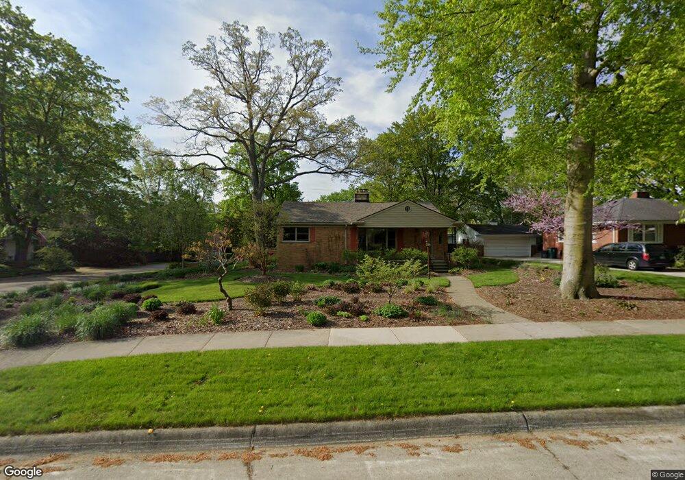
503 W Webster Rd Royal Oak, MI 48073
Estimated Value: $383,000 - $502,000
3
Beds
2
Baths
1,514
Sq Ft
$295/Sq Ft
Est. Value
About This Home
This home is located at 503 W Webster Rd, Royal Oak, MI 48073 and is currently estimated at $446,984, approximately $295 per square foot. 503 W Webster Rd is a home located in Oakland County with nearby schools including Northwood Elementary School, Royal Oak Middle School, and Royal Oak High School.
Ownership History
Date
Name
Owned For
Owner Type
Purchase Details
Closed on
Jul 21, 2020
Sold by
Glenn William and Glenn Debra
Bought by
Glenn William P and Glenn Debra L
Current Estimated Value
Purchase Details
Closed on
Mar 27, 2009
Sold by
Kiefer Richard E and Kiefer Paul J
Bought by
Glenn William and Glenn Debra
Purchase Details
Closed on
Feb 16, 2005
Sold by
Kiefer Edgar C and Kiefer Martha J
Bought by
Kiefer Edgar C and Kiefer Martha J
Create a Home Valuation Report for This Property
The Home Valuation Report is an in-depth analysis detailing your home's value as well as a comparison with similar homes in the area
Home Values in the Area
Average Home Value in this Area
Purchase History
| Date | Buyer | Sale Price | Title Company |
|---|---|---|---|
| Glenn William P | -- | None Available | |
| Glenn William | $164,000 | Capital Title Ins Agency | |
| Kiefer Edgar C | -- | None Available |
Source: Public Records
Tax History Compared to Growth
Tax History
| Year | Tax Paid | Tax Assessment Tax Assessment Total Assessment is a certain percentage of the fair market value that is determined by local assessors to be the total taxable value of land and additions on the property. | Land | Improvement |
|---|---|---|---|---|
| 2024 | $3,409 | $163,660 | $0 | $0 |
| 2022 | $4,028 | $142,190 | $0 | $0 |
| 2020 | $3,313 | $128,410 | $0 | $0 |
| 2018 | $4,028 | $118,780 | $0 | $0 |
| 2017 | $3,871 | $118,780 | $0 | $0 |
| 2015 | -- | $110,090 | $0 | $0 |
| 2014 | -- | $101,980 | $0 | $0 |
| 2011 | -- | $89,980 | $0 | $0 |
Source: Public Records
Map
Nearby Homes
- 3303 Vinsetta Blvd
- 903 Hickory Ave
- 3316 Vinsetta Blvd
- 817 Magnolia Ave
- 2115 Marywood Dr
- 816 Royal Ave
- 508 W Houstonia Ave
- 2931 N Main St
- 127 La Plaza Ct
- 629 W Houstonia Ave
- 227 W Houstonia Ave
- 922 Butternut Ave
- 1123 Royal Ave
- 1211 Smith Ave
- 1833 N Washington Ave
- 1828 N Lafayette Ave
- 1821 N Washington Ave
- 306 W 13 Mile Rd
- 140 E Lawrence Ave
- 214 W 12 Mile Rd
- 511 W Webster Rd
- 517 W Webster Rd
- 423 W Webster Rd
- 2935 Vinsetta Blvd
- 512 W Webster Rd
- 527 W Webster Rd
- 2927 Vinsetta Blvd
- 502 W Webster Rd
- 2931 Vinsetta Blvd
- 516 W Webster Rd
- 417 W Webster Rd
- 428 W Webster Rd
- 522 W Webster Rd
- 2917 Vinsetta Blvd
- 3003 Vinsetta Blvd
- 3007 Vinsetta Blvd
- 422 W Webster Rd
- 3013 Vinsetta Blvd
- 603 W Webster Rd
- 2909 Vinsetta Blvd