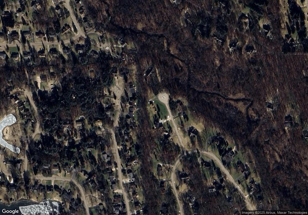
5030 Bradford Ct Brighton, MI 48114
Estimated Value: $459,000 - $683,000
3
Beds
3
Baths
2,049
Sq Ft
$258/Sq Ft
Est. Value
About This Home
This home is located at 5030 Bradford Ct, Brighton, MI 48114 and is currently estimated at $527,721, approximately $257 per square foot. 5030 Bradford Ct is a home located in Livingston County with nearby schools including Spencer Road Elementary School, Scranton Middle School, and Brighton High School.
Ownership History
Date
Name
Owned For
Owner Type
Purchase Details
Closed on
Jun 17, 2021
Sold by
Gildersleeve Roy R
Bought by
Gildersleeve Roy R
Current Estimated Value
Purchase Details
Closed on
Sep 26, 2013
Sold by
Barlow Elizabeth
Bought by
Gildersleeve Roy R
Home Financials for this Owner
Home Financials are based on the most recent Mortgage that was taken out on this home.
Original Mortgage
$220,000
Outstanding Balance
$58,042
Interest Rate
4.5%
Estimated Equity
$469,679
Purchase Details
Closed on
Aug 23, 2012
Sold by
Barlow Elizabeth E and Barlow William A
Bought by
Barlow Elizabeth
Create a Home Valuation Report for This Property
The Home Valuation Report is an in-depth analysis detailing your home's value as well as a comparison with similar homes in the area
Home Values in the Area
Average Home Value in this Area
Purchase History
| Date | Buyer | Sale Price | Title Company |
|---|---|---|---|
| Gildersleeve Roy R | -- | None Available | |
| Gildersleeve Roy R | $275,000 | -- | |
| Barlow Elizabeth | -- | -- |
Source: Public Records
Mortgage History
| Date | Status | Borrower | Loan Amount |
|---|---|---|---|
| Open | Gildersleeve Roy R | $220,000 |
Source: Public Records
Tax History Compared to Growth
Tax History
| Year | Tax Paid | Tax Assessment Tax Assessment Total Assessment is a certain percentage of the fair market value that is determined by local assessors to be the total taxable value of land and additions on the property. | Land | Improvement |
|---|---|---|---|---|
| 2025 | $3,861 | $207,500 | $0 | $0 |
| 2024 | $2,205 | $202,500 | $0 | $0 |
| 2023 | $2,107 | $180,400 | $0 | $0 |
| 2022 | $3,542 | $153,600 | $0 | $0 |
| 2021 | $3,542 | $155,100 | $0 | $0 |
| 2020 | $3,527 | $153,900 | $0 | $0 |
| 2019 | $3,476 | $153,600 | $0 | $0 |
| 2018 | $3,279 | $152,400 | $0 | $0 |
| 2017 | $3,220 | $152,400 | $0 | $0 |
| 2016 | $3,200 | $151,700 | $0 | $0 |
| 2014 | $2,498 | $130,410 | $0 | $0 |
| 2012 | $2,498 | $117,720 | $0 | $0 |
Source: Public Records
Map
Nearby Homes
- 10836 Cartier Dr
- 11180 Spencer Rd
- 11200 Ford Rd
- 11152 Spruce Point Dr
- 4893 Canyon Oaks Dr
- 11306 Woodruff Lake Dr
- 5908 Woodruff View Dr
- 5585 Woodruff Shore Dr Unit 1
- 5980 Alan Dr Unit 2
- 5955 Alan Dr Unit 60
- 5959 Alan Dr
- 5959 Alan Dr Unit 56
- 5959 Alan Dr Unit 53
- 4163 Nancy Dr
- 11910 Brandywine Dr
- 5920 Pleasant Valley Rd
- 4445 Old Warner Ct
- 11426 Wolfort Spur Unit 41
- 5821 Felske Dr
- 10584 Kenrich Dr
- 5063 Greenfield Rd
- 5075 Greenfield Rd Unit Bldg-Unit
- 5075 Greenfield Rd
- 5044 Bradford Ct
- 5055 Greenfield Rd
- 5081 Greenfield Rd
- 5045 Bradford Ct
- 5015 Bradford Ct
- 5115 Greenfield Rd
- 5082 Bradford Ct
- 5011 Greenfield Rd
- 5090 Greenfield Rd
- 5133 Greenfield Rd
- 5061 Bradford Ct
- 5044 Greenfield Rd
- 5008 Greenfield Rd
- 5151 Greenfield Rd
- 5060 Greenfield Rd
- 10960 Arbour Dr
- 10883 Reynard Rd
