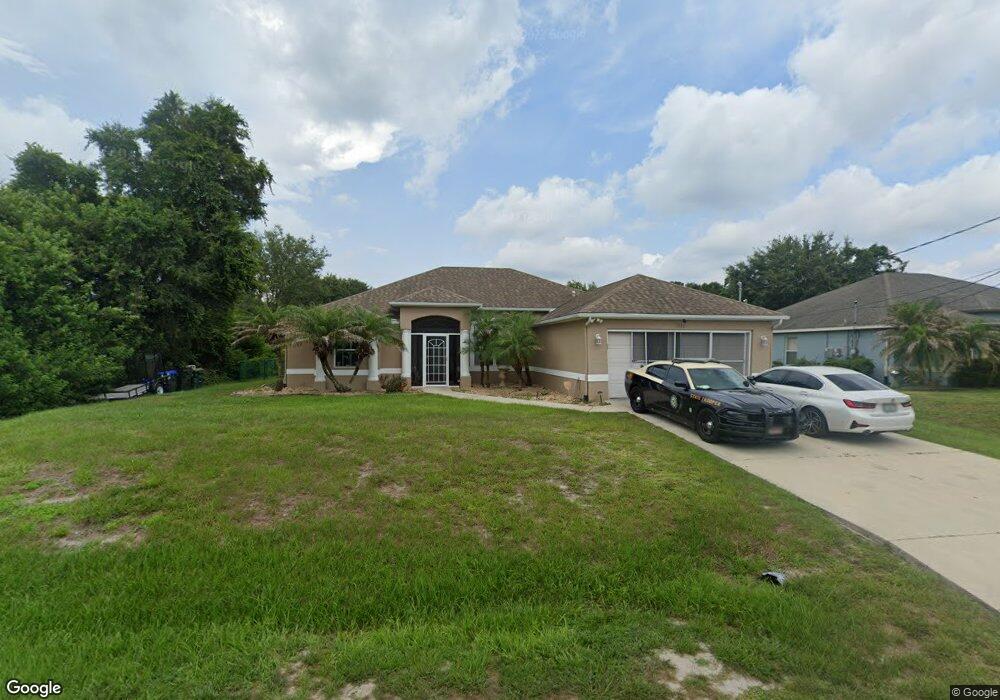
5030 Dewberry St North Port, FL 34288
Estimated Value: $372,000 - $448,000
4
Beds
3
Baths
2,188
Sq Ft
$182/Sq Ft
Est. Value
About This Home
This home is located at 5030 Dewberry St, North Port, FL 34288 and is currently estimated at $398,154, approximately $181 per square foot. 5030 Dewberry St is a home located in Sarasota County with nearby schools including Atwater Elementary School, North Port High School, and Woodland Middle School.
Ownership History
Date
Name
Owned For
Owner Type
Purchase Details
Closed on
Jun 22, 2004
Sold by
Allstate Builders Of Southwest Fl Inc
Bought by
Pierre Louis Kenol and Pierre Louis Hollyette
Current Estimated Value
Home Financials for this Owner
Home Financials are based on the most recent Mortgage that was taken out on this home.
Original Mortgage
$192,473
Outstanding Balance
$95,662
Interest Rate
6.25%
Mortgage Type
FHA
Estimated Equity
$302,492
Create a Home Valuation Report for This Property
The Home Valuation Report is an in-depth analysis detailing your home's value as well as a comparison with similar homes in the area
Home Values in the Area
Average Home Value in this Area
Purchase History
| Date | Buyer | Sale Price | Title Company |
|---|---|---|---|
| Pierre Louis Kenol | $195,500 | Aaction Title Agency Inc |
Source: Public Records
Mortgage History
| Date | Status | Borrower | Loan Amount |
|---|---|---|---|
| Open | Pierre Louis Kenol | $192,473 |
Source: Public Records
Tax History Compared to Growth
Tax History
| Year | Tax Paid | Tax Assessment Tax Assessment Total Assessment is a certain percentage of the fair market value that is determined by local assessors to be the total taxable value of land and additions on the property. | Land | Improvement |
|---|---|---|---|---|
| 2024 | $3,018 | $192,057 | -- | -- |
| 2023 | $3,018 | $186,463 | $0 | $0 |
| 2022 | $2,515 | $151,517 | $0 | $0 |
| 2021 | $2,461 | $147,104 | $0 | $0 |
| 2020 | $2,431 | $145,073 | $0 | $0 |
| 2019 | $2,359 | $141,811 | $0 | $0 |
| 2018 | $2,188 | $139,167 | $0 | $0 |
| 2017 | $2,145 | $136,305 | $0 | $0 |
| 2016 | $2,136 | $187,800 | $5,600 | $182,200 |
| 2015 | $2,170 | $170,700 | $4,500 | $166,200 |
| 2014 | $2,133 | $129,577 | $0 | $0 |
Source: Public Records
Map
Nearby Homes
- 5174 Foxhall Rd
- 0 Foxhall Rd
- 5509 Fairlane Dr
- 5574 Fairlane Dr
- 00 Andris St
- 0 Prosch Cir Unit MFRA4641672
- 0 Prosch Cir Unit MFRA4646491
- 1415 Hedgewood Cir
- 1434 Hedgewood Cir
- 1889 Northland Ave
- 0 Jonquil Terrace
- 0 Kenvil Dr Unit MFRC7505533
- 0 Kenvil Dr Unit MFRN6141208
- 0 Argonne Ct Unit MFRN6139149
- 0 Andris Ct Unit 2025010834
- 0 Hedgewood Cir Unit MFRA4671292
- 0 Hightower Rd Unit MFRC7514108
- 0 Hightower Rd Unit C7448539
- 0 Hightower Rd Unit MFRC7506192
- LOT 2 Calahan Ave
- 5048 Dewberry St
- 1491 Rugby Ct
- 0 Dewberry Unit C690260
- 0 Dewberry St Unit N5913832
- 0 Dewberry St Unit D6120948
- 0 Dewberry St Unit C7436535
- 0 Dewberry St Unit D6114120
- 5029 Dewberry St
- 5065 Dewberry St
- 5098 Dewberry St
- 4993 Dewberry St
- 4955 Alseir Rd
- 4948 Dewberry St
- 4975 Dewberry St
- 4945 Alseir Rd
- 4948 Camelot St
- 4957 Dewberry St
- 5016 Camelot St
- 1008255903 Foxhall Rd
- 4912 Camelot St