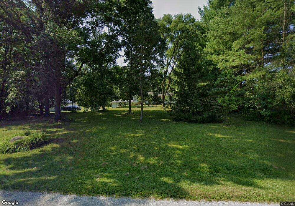
5030 Patrick Rd Sunbury, OH 43074
Porter NeighborhoodEstimated Value: $432,192 - $554,000
3
Beds
2
Baths
1,384
Sq Ft
$350/Sq Ft
Est. Value
About This Home
This home is located at 5030 Patrick Rd, Sunbury, OH 43074 and is currently estimated at $484,798, approximately $350 per square foot. 5030 Patrick Rd is a home located in Delaware County with nearby schools including Big Walnut Intermediate School, Big Walnut Middle School, and Big Walnut High School.
Ownership History
Date
Name
Owned For
Owner Type
Purchase Details
Closed on
Nov 20, 2007
Sold by
Bueckman Lynn A and Bueckman Sherry L
Bought by
Garee Kenneth M and Garee Sarah D
Current Estimated Value
Home Financials for this Owner
Home Financials are based on the most recent Mortgage that was taken out on this home.
Original Mortgage
$190,800
Outstanding Balance
$120,409
Interest Rate
6.33%
Mortgage Type
Purchase Money Mortgage
Estimated Equity
$364,389
Purchase Details
Closed on
Mar 10, 1995
Sold by
Limings Judy A
Bought by
Bueckman Lynn A and Bueckman Sherry L
Create a Home Valuation Report for This Property
The Home Valuation Report is an in-depth analysis detailing your home's value as well as a comparison with similar homes in the area
Home Values in the Area
Average Home Value in this Area
Purchase History
| Date | Buyer | Sale Price | Title Company |
|---|---|---|---|
| Garee Kenneth M | $212,000 | Talon Group | |
| Bueckman Lynn A | $164,000 | -- |
Source: Public Records
Mortgage History
| Date | Status | Borrower | Loan Amount |
|---|---|---|---|
| Open | Garee Kenneth M | $190,800 |
Source: Public Records
Tax History Compared to Growth
Tax History
| Year | Tax Paid | Tax Assessment Tax Assessment Total Assessment is a certain percentage of the fair market value that is determined by local assessors to be the total taxable value of land and additions on the property. | Land | Improvement |
|---|---|---|---|---|
| 2024 | $4,275 | $105,740 | $44,240 | $61,500 |
| 2023 | $4,253 | $105,740 | $44,240 | $61,500 |
| 2022 | $4,505 | $97,130 | $36,440 | $60,690 |
| 2021 | $3,729 | $97,130 | $36,440 | $60,690 |
| 2020 | $4,350 | $97,130 | $36,440 | $60,690 |
| 2019 | $3,672 | $79,040 | $28,040 | $51,000 |
| 2018 | $3,450 | $79,040 | $28,040 | $51,000 |
| 2017 | $3,197 | $75,600 | $27,160 | $48,440 |
| 2016 | $3,090 | $75,600 | $27,160 | $48,440 |
| 2015 | $3,107 | $75,600 | $27,160 | $48,440 |
| 2014 | $3,218 | $75,600 | $27,160 | $48,440 |
| 2013 | $3,424 | $74,200 | $27,160 | $47,040 |
Source: Public Records
Map
Nearby Homes
- 5520 Fredricks Rd
- 5455 Plantation Rd
- 0 Plantation Rd Unit 225008491
- 3412 Creek Rd
- 14121 Perfect Rd
- 4444 N State Route 61
- 11880 Wildwood Ln
- 14926 Olive Green Rd
- 15330 Olive Green Rd
- 3319 N State Route 61
- 15230 Meredith State Rd
- 0 N State Route 61 Unit Lot 4 225027787
- 0 N State Route 61 Unit Lot 3 225027777
- 0 N State Route 61 Unit Lot 2 225027762
- 6337 N State Route 61
- 1309 Goldwell Dr
- 11418 Rosecrans Rd
- 2100 Blayney Rd
- 3237 Blue Church Rd
- 15186 Hartford Rd
- 5015 Patrick Rd
- 4945 Patrick Rd
- 4930 Patrick Rd
- 5055 Patrick Rd
- 5122 Patrick Rd
- 5111 Patrick Rd
- 4925 Patrick Rd
- 4919 Patrick Rd
- 4860 Patrick Rd
- 5185 Patrick Rd
- 0 Patrick Rd
- 0000 Patrick Rd
- 000000 Patrick Rd
- 000 Patrick Rd
- 00 Patrick Rd
- 5001 Patrick Rd
- 5180 Patrick Rd
- 4825 Patrick Rd
- 5353 Fredricks Rd
- 5325 Fredricks Rd
