50300 Hanford Rd Unit Bldg-Unit Canton, MI 48187
Estimated Value: $615,000 - $684,853
--
Bed
4
Baths
2,270
Sq Ft
$283/Sq Ft
Est. Value
About This Home
This home is located at 50300 Hanford Rd Unit Bldg-Unit, Canton, MI 48187 and is currently estimated at $641,713, approximately $282 per square foot. 50300 Hanford Rd Unit Bldg-Unit is a home located in Wayne County with nearby schools including Canton High School, Plymouth High School, and Salem High School.
Ownership History
Date
Name
Owned For
Owner Type
Purchase Details
Closed on
Aug 27, 2019
Sold by
Heins Scott M and Heins Dana T
Bought by
Blashak Theodore and Blashak Dawn
Current Estimated Value
Home Financials for this Owner
Home Financials are based on the most recent Mortgage that was taken out on this home.
Original Mortgage
$376,000
Outstanding Balance
$330,020
Interest Rate
3.7%
Mortgage Type
Purchase Money Mortgage
Estimated Equity
$311,693
Purchase Details
Closed on
Feb 7, 2018
Sold by
Ying Rodney L and Ying Susan F
Bought by
Heins Scott M
Home Financials for this Owner
Home Financials are based on the most recent Mortgage that was taken out on this home.
Original Mortgage
$272,000
Interest Rate
3.95%
Mortgage Type
New Conventional
Purchase Details
Closed on
May 9, 2014
Sold by
Ying Lloyd and Ying Joan Marie
Bought by
Ying Rodney L
Purchase Details
Closed on
May 24, 2010
Sold by
Ying Lloyd and Ying Joan Marie
Bought by
Ying Rodney Lloyd
Create a Home Valuation Report for This Property
The Home Valuation Report is an in-depth analysis detailing your home's value as well as a comparison with similar homes in the area
Home Values in the Area
Average Home Value in this Area
Purchase History
| Date | Buyer | Sale Price | Title Company |
|---|---|---|---|
| Blashak Theodore | $470,000 | Title Solutions Agency Llc | |
| Heins Scott M | $340,000 | None Available | |
| Ying Rodney L | $350,000 | Liberty Title | |
| Ying Rodney Lloyd | -- | None Available |
Source: Public Records
Mortgage History
| Date | Status | Borrower | Loan Amount |
|---|---|---|---|
| Open | Blashak Theodore | $376,000 | |
| Previous Owner | Heins Scott M | $272,000 |
Source: Public Records
Tax History Compared to Growth
Tax History
| Year | Tax Paid | Tax Assessment Tax Assessment Total Assessment is a certain percentage of the fair market value that is determined by local assessors to be the total taxable value of land and additions on the property. | Land | Improvement |
|---|---|---|---|---|
| 2025 | $4,872 | $280,800 | $0 | $0 |
| 2024 | $4,872 | $295,800 | $0 | $0 |
| 2023 | $4,645 | $257,200 | $0 | $0 |
| 2022 | $8,845 | $235,500 | $0 | $0 |
| 2021 | $8,582 | $236,800 | $0 | $0 |
| 2020 | $8,473 | $206,900 | $0 | $0 |
| 2019 | $7,791 | $189,810 | $0 | $0 |
| 2018 | $3,227 | $197,120 | $0 | $0 |
| 2017 | $7,733 | $197,800 | $0 | $0 |
| 2016 | $10,223 | $198,200 | $0 | $0 |
| 2015 | $17,149 | $171,490 | $0 | $0 |
| 2013 | $15,318 | $157,840 | $0 | $0 |
| 2010 | -- | $166,040 | $0 | $0 |
Source: Public Records
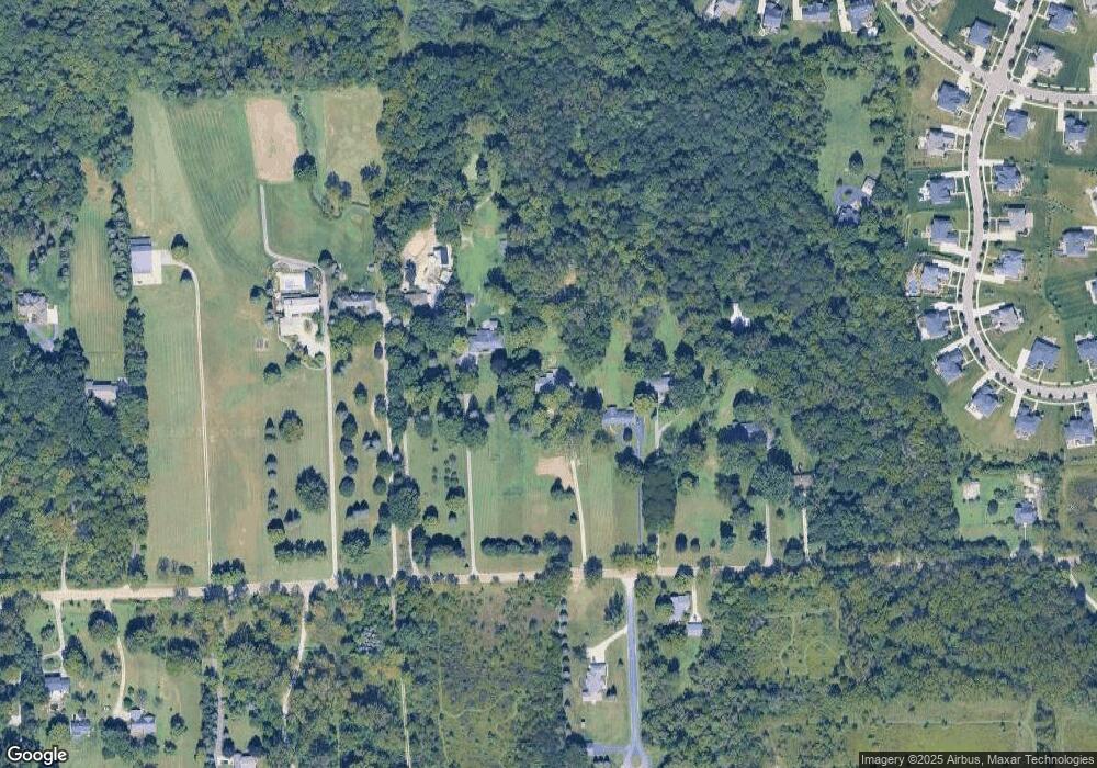
Map
Nearby Homes
- 50723 Auburndale Ct
- 7470 Thornwood St
- 7319 Haverhill Ct S
- 49093 Poppleton Ct
- 49068 Poppleton Ct
- 50145 Ford Rd
- 48406 Warren Rd
- 7809 Haverhill Ct N
- 5922 Valley View Dr
- 2032 Tradition Dr
- 50584 Telluride Dr
- 5885 Fairborn Dr
- 49335 Dominion Ct
- 6680 Kings Mill Dr
- 48375 Ford Rd
- 48107 Hanford Rd
- 1304 Tradition Dr
- 48315 Ford Rd
- 8542 Newbury Ct N Unit 94
- 921 Bellwood Ln
- 50300 Hanford Rd
- 50320 Hanford Rd
- 50350 Hanford Rd
- 50150 Hanford Rd
- 50100 Hanford Rd
- 50450 Hanford Rd
- 49965 Pelham Ct
- 50001 Pelham Ct
- 50000 Hanford Rd
- 50039 Pelham Ct Unit 65
- 50075 Pelham Ct
- 49920 Hanford Rd
- 49927 Pelham Ct
- 50056 Pelham Ct
- 49691 Annandale Dr
- 49889 Pelham Ct
- 50113 Pelham Ct
- 50135 Hanford Rd
- 49982 Pelham Ct
- 49639 Annandale Dr