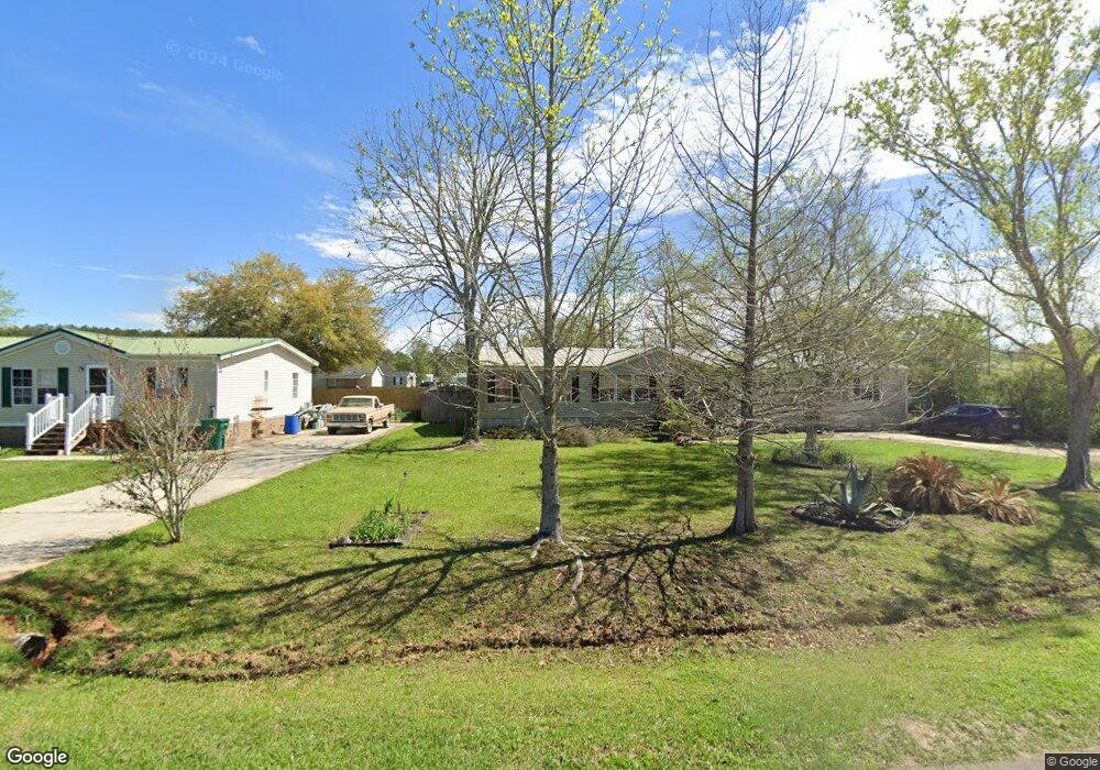
50321 Michael Paul Ln Loranger, LA 70446
Estimated Value: $123,233 - $271,000
3
Beds
2
Baths
1,781
Sq Ft
$103/Sq Ft
Est. Value
About This Home
This home is located at 50321 Michael Paul Ln, Loranger, LA 70446 and is currently estimated at $183,058, approximately $102 per square foot. 50321 Michael Paul Ln is a home located in Tangipahoa Parish with nearby schools including Loranger Elementary School, Loranger Middle School, and Loranger High School.
Ownership History
Date
Name
Owned For
Owner Type
Purchase Details
Closed on
Jul 25, 2022
Sold by
Duffy Iii Arthur G
Bought by
Thompson Marissa Rena
Current Estimated Value
Home Financials for this Owner
Home Financials are based on the most recent Mortgage that was taken out on this home.
Original Mortgage
$162,011
Outstanding Balance
$154,320
Interest Rate
5.23%
Mortgage Type
FHA
Estimated Equity
$28,738
Purchase Details
Closed on
Mar 24, 2010
Sold by
Crow Patricia A
Bought by
Duffy Sidney Crow and Duffy Arthur G
Purchase Details
Closed on
Aug 5, 2005
Sold by
Circle E Development Llc
Bought by
Crow Patricia Smelser
Create a Home Valuation Report for This Property
The Home Valuation Report is an in-depth analysis detailing your home's value as well as a comparison with similar homes in the area
Home Values in the Area
Average Home Value in this Area
Purchase History
| Date | Buyer | Sale Price | Title Company |
|---|---|---|---|
| Thompson Marissa Rena | $165,000 | None Listed On Document | |
| Duffy Sidney Crow | $60,000 | None Available | |
| Crow Patricia Smelser | $15,500 | None Available |
Source: Public Records
Mortgage History
| Date | Status | Borrower | Loan Amount |
|---|---|---|---|
| Open | Thompson Marissa Rena | $162,011 |
Source: Public Records
Tax History Compared to Growth
Tax History
| Year | Tax Paid | Tax Assessment Tax Assessment Total Assessment is a certain percentage of the fair market value that is determined by local assessors to be the total taxable value of land and additions on the property. | Land | Improvement |
|---|---|---|---|---|
| 2024 | $410 | $5,346 | $378 | $4,968 |
| 2023 | $414 | $5,371 | $350 | $5,021 |
| 2022 | $414 | $5,371 | $350 | $5,021 |
| 2021 | $414 | $5,370 | $350 | $5,020 |
| 2020 | $414 | $5,370 | $350 | $5,020 |
| 2019 | $413 | $5,370 | $350 | $5,020 |
| 2018 | $414 | $5,370 | $350 | $5,020 |
| 2017 | $414 | $5,370 | $350 | $5,020 |
| 2016 | $414 | $5,370 | $350 | $5,020 |
| 2015 | $427 | $5,527 | $350 | $5,177 |
| 2014 | $426 | $5,527 | $350 | $5,177 |
Source: Public Records
Map
Nearby Homes
- 50110 Highway 445 None
- 50110 Highway 445
- 50029 Creekside Dr
- 24508 Gliderport Rd
- 49448 Gateway Dr
- 0 Creekside Dr
- 51136 Wig Ln
- 51131 Highway 445 None
- 51131 Highway 445
- 23343 Eastman Ln
- 49475 Ravenwood Dr
- 50277 (Lot 5) Allen Dr
- 50293 (Lot 3) Allen Dr
- 50320 (Lot 2) Allen Dr
- 50319 (Lot 1) Allen Dr
- 50278 (Lot 6) Allen Dr
- Liberty V H Plan at Savannahs
- 50321 Michael Paul Dr
- 50321 Michael Paul Dr
- 50331 Michael Paul Dr
- 24315 W Bradley Ct
- 50326 N Bradley Ct
- 50322 Michael Paul Dr
- 24307 W Bradley Ct
- 50334 N Bradley Ct
- 50322 Michael Paul Ln
- 50322 Michael Paul Dr
- 50332 Michael Paul Dr
- 50332 Michael Paul Ln
- 24331 W Bradley Ct
- 24316 E Bradley Ct
- 24306 E Bradley Ct
- 24330 E Bradley Ct
- 50321 James Earl Dr
- 24312 W Bradley Ct
- 24322 W Bradley Ct
- 24341 W Bradley Ct