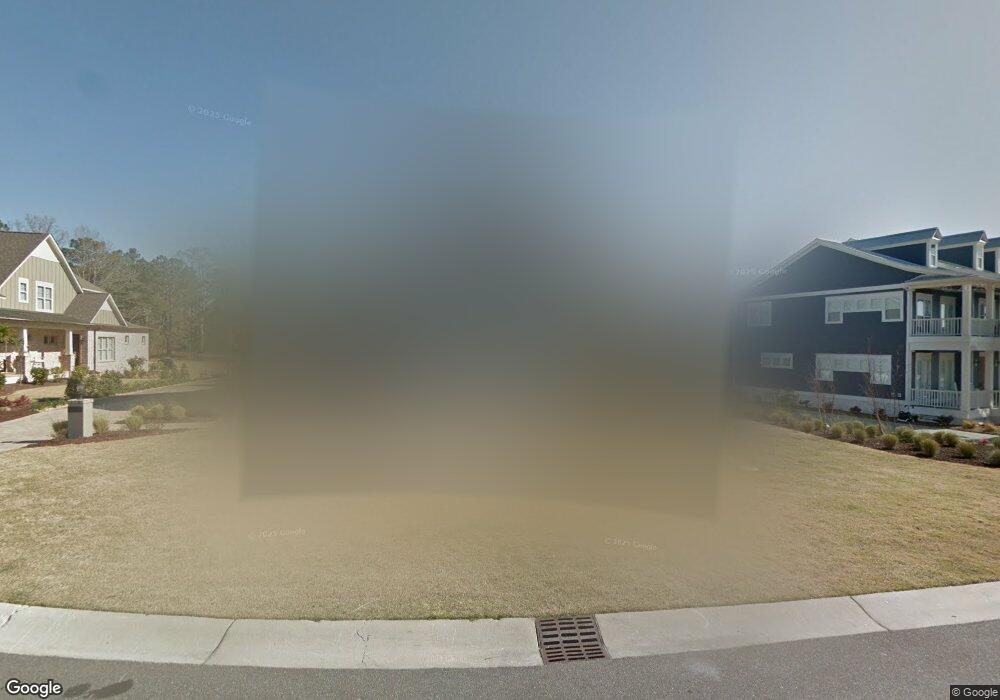
5033 Dockside Dr Wilmington, NC 28409
Estimated Value: $1,504,000 - $2,531,983
5
Beds
6
Baths
4,257
Sq Ft
$465/Sq Ft
Est. Value
About This Home
This home is located at 5033 Dockside Dr, Wilmington, NC 28409 and is currently estimated at $1,978,996, approximately $464 per square foot. 5033 Dockside Dr is a home with nearby schools including Heyward C. Bellamy Elementary School, Myrtle Grove Middle School, and Eugene Ashley High School.
Ownership History
Date
Name
Owned For
Owner Type
Purchase Details
Closed on
Jul 24, 2018
Sold by
Barbee Eric A and Barbee Alecia S
Bought by
Barbee Eric A and Barbee Alecia S
Current Estimated Value
Purchase Details
Closed on
Oct 13, 2015
Sold by
Sel Property Investors Llc
Bought by
Barbee Eric A and Barbee Alecia S
Home Financials for this Owner
Home Financials are based on the most recent Mortgage that was taken out on this home.
Original Mortgage
$232,000
Outstanding Balance
$182,845
Interest Rate
3.93%
Mortgage Type
Future Advance Clause Open End Mortgage
Estimated Equity
$1,796,151
Create a Home Valuation Report for This Property
The Home Valuation Report is an in-depth analysis detailing your home's value as well as a comparison with similar homes in the area
Home Values in the Area
Average Home Value in this Area
Purchase History
| Date | Buyer | Sale Price | Title Company |
|---|---|---|---|
| Barbee Eric A | -- | None Available | |
| Barbee Eric A | $290,000 | None Available |
Source: Public Records
Mortgage History
| Date | Status | Borrower | Loan Amount |
|---|---|---|---|
| Open | Barbee Eric A | $232,000 |
Source: Public Records
Tax History Compared to Growth
Tax History
| Year | Tax Paid | Tax Assessment Tax Assessment Total Assessment is a certain percentage of the fair market value that is determined by local assessors to be the total taxable value of land and additions on the property. | Land | Improvement |
|---|---|---|---|---|
| 2025 | -- | $2,096,600 | $749,100 | $1,347,500 |
| 2023 | $6,612 | $1,256,500 | $561,400 | $695,100 |
| 2022 | $0 | $1,256,500 | $561,400 | $695,100 |
| 2021 | $6,252 | $1,256,500 | $561,400 | $695,100 |
| 2020 | $6,252 | $988,400 | $357,000 | $631,400 |
| 2019 | $6,252 | $988,400 | $357,000 | $631,400 |
| 2018 | $6,252 | $988,400 | $357,000 | $631,400 |
| 2017 | $2,312 | $357,000 | $357,000 | $0 |
| 2016 | -- | $255,400 | $255,400 | $0 |
Source: Public Records
Map
Nearby Homes
- 5017 Dockside Dr
- 5205 Helms Port Ave
- 5010 Dockside Dr
- 5418 Saltwater Run
- 5353 Leisure Cir
- 5014 Helms Port Ave
- 5225 Leisure Cir
- 222 Sea Gull Ln
- 4953 Coronado Dr
- 141 Southwold Dr
- 234 Brighton Rd
- 5235 Crosswinds Dr
- 5103 Long Pointe Rd
- 4641 Masonboro Loop Rd
- 273 Foxwood Ln
- 301 Foxwood Ln
- 5618 Pinecone Place
- 261 Loder Ave
- 5004 Laurenbridge Ln
- 5705 Woodduck Cir
- 5034 Dockside Dr
- 5037 Dockside Dr
- 5029 Dockside Dr
- 5829 Harbor Breeze Dr
- 5038 Dockside Dr
- 5042 Dockside Dr
- 5025 Dockside Dr
- 5825 Harbor Breeze Dr
- 5824 Harbor Breeze Dr
- 5026 Dockside Dr
- 5041 Dockside Dr
- 5046 Dockside Dr
- 5821 Harbor Breeze Dr
- 5021 Dockside Dr
- 5022 Dockside Dr
- 5217 Helms Port Ave
- 5045 Dockside Dr
- 5018 Dockside Dr
- 5213 Helms Port Ave
- 5817 Harbor Breeze Dr