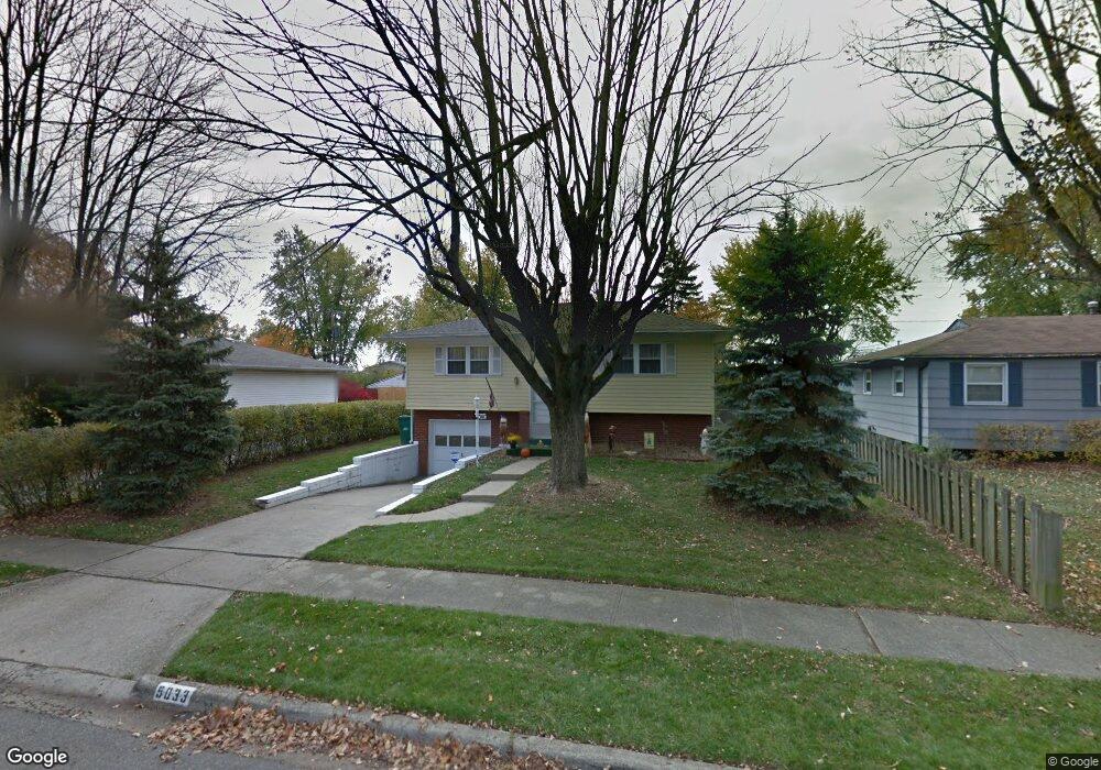
5033 Gunston Dr Columbus, OH 43232
East Columbus-White Ash NeighborhoodEstimated Value: $203,316 - $232,000
3
Beds
2
Baths
1,428
Sq Ft
$151/Sq Ft
Est. Value
About This Home
This home is located at 5033 Gunston Dr, Columbus, OH 43232 and is currently estimated at $215,829, approximately $151 per square foot. 5033 Gunston Dr is a home located in Franklin County with nearby schools including Groveport Madison High School and Eastland Preparatory Academy.
Ownership History
Date
Name
Owned For
Owner Type
Purchase Details
Closed on
Jan 30, 1999
Sold by
Buskirk Robert I and Buskirk Debra L
Bought by
Fenice Arthur and Fenice Carolyn F
Current Estimated Value
Home Financials for this Owner
Home Financials are based on the most recent Mortgage that was taken out on this home.
Original Mortgage
$73,150
Outstanding Balance
$17,329
Interest Rate
6.75%
Estimated Equity
$198,500
Purchase Details
Closed on
Nov 14, 1994
Sold by
Est Mary V Sigferlen
Bought by
Buskirk Robert I and Buskirk Debra L
Home Financials for this Owner
Home Financials are based on the most recent Mortgage that was taken out on this home.
Original Mortgage
$65,500
Interest Rate
8.86%
Mortgage Type
New Conventional
Purchase Details
Closed on
Nov 1, 1984
Create a Home Valuation Report for This Property
The Home Valuation Report is an in-depth analysis detailing your home's value as well as a comparison with similar homes in the area
Home Values in the Area
Average Home Value in this Area
Purchase History
| Date | Buyer | Sale Price | Title Company |
|---|---|---|---|
| Fenice Arthur | $77,000 | -- | |
| Buskirk Robert I | $69,900 | -- | |
| -- | -- | -- |
Source: Public Records
Mortgage History
| Date | Status | Borrower | Loan Amount |
|---|---|---|---|
| Open | Fenice Arthur | $73,150 | |
| Previous Owner | Buskirk Robert I | $65,500 |
Source: Public Records
Tax History Compared to Growth
Tax History
| Year | Tax Paid | Tax Assessment Tax Assessment Total Assessment is a certain percentage of the fair market value that is determined by local assessors to be the total taxable value of land and additions on the property. | Land | Improvement |
|---|---|---|---|---|
| 2024 | $3,299 | $63,640 | $14,180 | $49,460 |
| 2023 | $3,277 | $63,630 | $14,175 | $49,455 |
| 2022 | $2,017 | $32,550 | $6,300 | $26,250 |
| 2021 | $2,060 | $32,550 | $6,300 | $26,250 |
| 2020 | $2,065 | $32,550 | $6,300 | $26,250 |
| 2019 | $1,960 | $27,130 | $5,250 | $21,880 |
| 2018 | $2,024 | $27,130 | $5,250 | $21,880 |
| 2017 | $1,982 | $27,130 | $5,250 | $21,880 |
| 2016 | $2,075 | $25,800 | $4,100 | $21,700 |
| 2015 | $2,078 | $25,800 | $4,100 | $21,700 |
| 2014 | $1,914 | $25,800 | $4,100 | $21,700 |
| 2013 | $979 | $28,665 | $4,550 | $24,115 |
Source: Public Records
Map
Nearby Homes
- 5096 Fullerton Dr
- 3900 Noe Bixby Rd
- 5145 Fullerton Dr
- 5174 Fullerton Dr
- 4940 Brewster Dr
- 3721 Aurelia Dr
- 5004 Bentler Dr
- 5044 Albany Dr
- 3860 Evanston Rd
- 3856 Crestfield Dr Unit 3856
- 5106 Harbor Blvd
- 3739 Atkinson Rd
- 3567 Wymore Place
- 4106 Wiston Dr Unit 4106
- 3773 Clearwater Dr
- 4655 Glengate Dr
- 3773 Tylor Dr
- 3493 Tremaine Rd
- 4344 Seahorse Ln Unit 4344
- 5254 Sedalia Dr
- 5041 Gunston Dr
- 5023 Gunston Dr
- 5044 Fullerton Dr
- 5015 Gunston Dr
- 5036 Fullerton Dr
- 5050 Fullerton Dr
- 5028 Fullerton Dr
- 5062 Fullerton Dr
- 5032 Gunston Dr
- 5040 Gunston Dr
- 5007 Gunston Dr
- 5024 Gunston Dr
- 5048 Gunston Dr
- 5016 Gunston Dr
- 5016 Fullerton Dr
- 5074 Fullerton Dr
- 5056 Gunston Dr
- 3878 Armada Rd
- 5008 Gunston Dr
- 5082 Fullerton Dr