50338 State Route 78 Clarington, OH 43915
Estimated Value: $146,000 - $269,000
--
Bed
1
Bath
1,120
Sq Ft
$197/Sq Ft
Est. Value
About This Home
This home is located at 50338 State Route 78, Clarington, OH 43915 and is currently estimated at $220,836, approximately $197 per square foot. 50338 State Route 78 is a home located in Monroe County with nearby schools including River Elementary School, Powhatan Elementary School, and Beallsville High School.
Ownership History
Date
Name
Owned For
Owner Type
Purchase Details
Closed on
Nov 22, 2017
Sold by
Mcintire Preston
Bought by
Mcintire Preston and Mcintire Tina
Current Estimated Value
Purchase Details
Closed on
May 30, 2017
Bought by
Preston L Mcintire and Mcintire
Home Financials for this Owner
Home Financials are based on the most recent Mortgage that was taken out on this home.
Interest Rate
3.95%
Purchase Details
Closed on
Feb 19, 1999
Bought by
Mcintire Kenneth A and Mcintire Preston L
Create a Home Valuation Report for This Property
The Home Valuation Report is an in-depth analysis detailing your home's value as well as a comparison with similar homes in the area
Home Values in the Area
Average Home Value in this Area
Purchase History
| Date | Buyer | Sale Price | Title Company |
|---|---|---|---|
| Mcintire Preston | -- | None Available | |
| Preston L Mcintire | $77,675 | -- | |
| Mcintire Kenneth A | -- | -- |
Source: Public Records
Mortgage History
| Date | Status | Borrower | Loan Amount |
|---|---|---|---|
| Previous Owner | Preston L Mcintire | -- |
Source: Public Records
Tax History Compared to Growth
Tax History
| Year | Tax Paid | Tax Assessment Tax Assessment Total Assessment is a certain percentage of the fair market value that is determined by local assessors to be the total taxable value of land and additions on the property. | Land | Improvement |
|---|---|---|---|---|
| 2024 | $2,025 | $64,920 | $33,900 | $31,020 |
| 2023 | $2,025 | $64,920 | $33,900 | $31,020 |
| 2022 | $1,895 | $64,920 | $33,900 | $31,020 |
| 2021 | $1,745 | $59,030 | $27,810 | $31,220 |
| 2020 | $1,745 | $59,030 | $27,810 | $31,220 |
| 2019 | $1,739 | $58,810 | $27,590 | $31,220 |
| 2018 | $1,590 | $52,770 | $23,000 | $29,770 |
| 2017 | $1,561 | $52,770 | $23,000 | $29,770 |
| 2016 | $1,585 | $52,770 | $23,000 | $29,770 |
| 2015 | $988 | $39,710 | $15,130 | $24,580 |
| 2014 | $988 | $39,710 | $15,130 | $24,580 |
| 2013 | $994 | $37,650 | $13,760 | $23,890 |
Source: Public Records
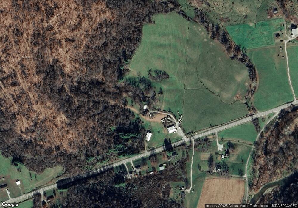
Map
Nearby Homes
- 111 Main St
- 618 Market St
- 50504 State Route 556
- 45725 Skyline Rd
- 52736 Fisher Hill Rd
- 1246 Wren Dr
- 1233 Wren Dr
- 1221 Robin Dr
- 805 James St
- 0 Country Blvd Unit 5119547
- 0 Lot 2 Country Blvd
- 74 Anson St
- 826 Meadow Dr
- 52100 State Route 536
- 296 N State Route 2
- 619 Proctor Creek Rd
- 44883 Bondi Ridge Rd
- 270 Duerr St
- 803 5th St
- 405 Edgewood Terrace
- 50201 State Route 78
- 50199 State Route 78
- 50355 State Route 78
- 50325 State Route 78
- 50190 Gibbs Rd
- 50508 Gibbs Rd
- 50037 State Route 78
- 50041 State Route 78
- 50308 Gibbs Rd
- 49982 State Route 78
- 50534 State Route 78
- 49970 State Route 78
- 50051 State Route 78
- 49975 State Route 78
- 50676 State Route 78
- 50582 Gibbs Rd
- 0 Twp Rd 168 Unit T9512937
- 0 Twp Rd 168 Unit T9513011
- 50838 State Route 78
- 50392 Gibbs Rd