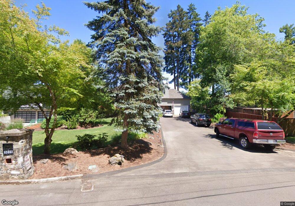
5035 Mapleton Dr West Linn, OR 97068
Robinwood NeighborhoodEstimated Value: $1,440,000 - $2,040,000
4
Beds
3
Baths
5,142
Sq Ft
$324/Sq Ft
Est. Value
About This Home
This home is located at 5035 Mapleton Dr, West Linn, OR 97068 and is currently estimated at $1,666,701, approximately $324 per square foot. 5035 Mapleton Dr is a home located in Clackamas County with nearby schools including Cedaroak Park Primary School, West Linn High School, and Harmony Academy.
Ownership History
Date
Name
Owned For
Owner Type
Purchase Details
Closed on
Oct 2, 2019
Sold by
Boudoures Anastasia
Bought by
Gianopoulos Andrew and Boudoures Anastasia
Current Estimated Value
Purchase Details
Closed on
Sep 11, 2009
Sold by
Gianopoulos Andrew and Boudoures Anastasia
Bought by
Boudoures Anastasia
Purchase Details
Closed on
Nov 3, 2008
Sold by
Gianopoulos Andrew and Boudoures Anastasia
Bought by
Gianopoulos Andrew and Boudoures Anastasia
Create a Home Valuation Report for This Property
The Home Valuation Report is an in-depth analysis detailing your home's value as well as a comparison with similar homes in the area
Home Values in the Area
Average Home Value in this Area
Purchase History
| Date | Buyer | Sale Price | Title Company |
|---|---|---|---|
| Gianopoulos Andrew | -- | None Available | |
| Boudoures Anastasia | -- | None Available | |
| Gianopoulos Andrew | -- | None Available |
Source: Public Records
Tax History
| Year | Tax Paid | Tax Assessment Tax Assessment Total Assessment is a certain percentage of the fair market value that is determined by local assessors to be the total taxable value of land and additions on the property. | Land | Improvement |
|---|---|---|---|---|
| 2025 | $21,273 | $1,103,831 | -- | -- |
| 2024 | $20,476 | $1,071,681 | -- | -- |
| 2023 | $20,476 | $1,040,467 | $0 | $0 |
| 2022 | $19,327 | $1,010,163 | $0 | $0 |
| 2021 | $17,455 | $980,741 | $0 | $0 |
| 2020 | $17,154 | $952,176 | $0 | $0 |
| 2019 | $16,379 | $924,443 | $0 | $0 |
| 2018 | $15,804 | $897,517 | $0 | $0 |
| 2017 | $14,382 | $849,702 | $0 | $0 |
| 2016 | $13,884 | $824,953 | $0 | $0 |
Source: Public Records
Map
Nearby Homes
- 4510 Mapleton Dr
- 19155 Nixon Ave
- 19333 SE River Drive Ct
- 4040 Kenthorpe Way
- 2666 Mark Ln
- 3893 Cedaroak Dr
- 3820 Kenthorpe Way
- 2550 Jolie Pointe Rd
- 19697 SE Cottonwood St
- 4153 Calaroga Cir
- 19885 Willamette Dr
- 2010 Maple Terrace
- 4120 SE Boardman Ave
- 2700 Underhill Ln Unit 1
- 20050 Snowdrop Ct Unit 1
- 3780 Ridgewood Way
- 3782 Ridgewood Way
- 2818 Treetop Ln
- 4208 SE Boardman Ave
- 3784 Ridgewood Way
- 5005 Mapleton Dr
- 5065 Mapleton Dr
- 4993 Mapleton Dr
- 5075 Mapleton Dr
- 4970 Mapleton Dr
- 4981 Mapleton Dr
- 5070 Mapleton Dr
- 4973 Mapleton Dr
- 4738 Mapleton Dr
- 4961 Mapleton Dr
- 4950 Mapleton Dr
- 4945 Mapleton Dr
- 19381 Nixon Ave
- 19380 Nixon Ave
- 4622 Mapleton Dr
- 19300 Nixon Ave
- 4630 Kenthorpe Way
- 4600 Mapleton Dr
- 19250 Nixon Ave
- 4552 Kenthorpe Way
Your Personal Tour Guide
Ask me questions while you tour the home.