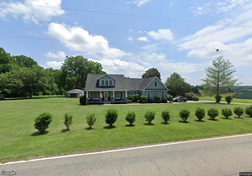
5035 Millbridge Rd Salisbury, NC 28147
Estimated Value: $506,000 - $637,000
Studio
--
Bath
2,670
Sq Ft
$214/Sq Ft
Est. Value
About This Home
This home is located at 5035 Millbridge Rd, Salisbury, NC 28147 and is currently estimated at $571,859, approximately $214 per square foot. 5035 Millbridge Rd is a home with nearby schools including Millbridge Elementary School, West Rowan Middle School, and West Rowan High School.
Ownership History
Date
Name
Owned For
Owner Type
Purchase Details
Closed on
Feb 16, 2010
Sold by
Key Vickie Morrison
Bought by
Helmbold Andrew W and Helmbold Kristen L
Current Estimated Value
Home Financials for this Owner
Home Financials are based on the most recent Mortgage that was taken out on this home.
Original Mortgage
$150,000
Outstanding Balance
$99,473
Interest Rate
5.07%
Mortgage Type
Construction
Estimated Equity
$472,386
Create a Home Valuation Report for This Property
The Home Valuation Report is an in-depth analysis detailing your home's value as well as a comparison with similar homes in the area
Purchase History
| Date | Buyer | Sale Price | Title Company |
|---|---|---|---|
| Helmbold Andrew W | $45,000 | None Available |
Source: Public Records
Mortgage History
| Date | Status | Borrower | Loan Amount |
|---|---|---|---|
| Open | Helmbold Andrew W | $150,000 |
Source: Public Records
Tax History
| Year | Tax Paid | Tax Assessment Tax Assessment Total Assessment is a certain percentage of the fair market value that is determined by local assessors to be the total taxable value of land and additions on the property. | Land | Improvement |
|---|---|---|---|---|
| 2025 | $3,118 | $460,227 | $51,941 | $408,286 |
| 2024 | $3,118 | $460,227 | $51,941 | $408,286 |
| 2023 | $3,118 | $460,227 | $51,941 | $408,286 |
| 2022 | $2,218 | $293,724 | $36,464 | $257,260 |
| 2021 | $1,896 | $253,605 | $31,655 | $221,950 |
| 2020 | $1,896 | $253,605 | $31,655 | $221,950 |
| 2019 | $1,896 | $253,605 | $31,655 | $221,950 |
| 2018 | $1,611 | $217,323 | $31,654 | $185,669 |
| 2017 | $1,611 | $217,323 | $31,654 | $185,669 |
| 2016 | $1,611 | $217,323 | $31,654 | $185,669 |
| 2015 | $1,630 | $217,323 | $31,654 | $185,669 |
| 2014 | $1,599 | $223,636 | $31,654 | $191,982 |
Source: Public Records
Map
Nearby Homes
- 613 Fly Fisher Dr
- 1070 Castle Mill Ln
- 250 Goldenrod Cir
- 1015 Coppergate Dr
- 1055 Coppergate Dr
- 2340 Patterson Rd
- 153 Trinity Ct
- 1188 Cobblestone Dr
- 152 Old Bailey Ct
- 7195 Mooresville Rd
- 1033 Stonegate Dr
- 1063 Stonegate Dr
- 1075 Stonegate Dr
- 1115 Stonegate Dr
- 1135 Stonegate Dr
- 1005 Coppergate Dr
- 1325 Coppergate Dr
- 1298 Timber Spring Ln
- 1910 Cooper Rd
- 530 Upright Rd
- 5080 Millbridge Rd
- 5020 Millbridge Rd
- 5090 Millbridge Rd
- 4930 Millbridge Rd
- 4950 Millbridge Rd
- 3671 Weaver Rd
- 3647 Weaver Rd
- 3647 Weaver Rd
- 5165 Millbridge Rd
- 5130 Millbridge Rd
- 5195 Millbridge Rd
- 5220 Millbridge Rd
- 8950 Fannie Sloan Ln
- 4665 Millbridge Rd
- 5155 Millbridge Rd
- 3551 Weaver Rd
- 9075 Fannie Sloan Ln
- 9085 Fannie Sloan Ln
- 9095 Fannie Sloan Ln
- 9075 Mooresville Rd
Your Personal Tour Guide
Ask me questions while you tour the home.